
Snow Depth Map: How Much Snow Is on the Ground Right Now?
A live grid of modeled snow depth around any ZIP code, with a one-click flip to the next 7 days of forecast snowfall. Use it to find the base before you drive.
Modeled snow depth on the ground around Tug Hill Plateau, NY. This is a weather-model estimate, not a gauge reading: it misses drifts, shaded hollows, and freshly plowed lots. For official observations see NOAA's NOHRSC snow analysis or a nearby SNOTEL site.
Modeled snow vs. measured snow
Every dot is a weather-model grid cell, not a ruler in the snow. The model tracks a snowpack through each storm, melt, and refreeze, which makes it excellent for "is there snow in that valley?" and rough on "exactly how many inches on my deck." Shaded slopes hold more than it shows; plowed lots and south faces hold less.
| Band | What it means on the ground |
|---|---|
| No snow | Bare ground or a dusting that has melted off. |
| Trace – 1 in | A coating — roads slick, lawns white, nothing to play in. |
| 1 – 4 in | Shovel-and-sled snow; cross-country skiing is marginal. |
| 4 – 12 in | Snowshoe and XC territory; groomed trails open at the top of this band. |
| 12 – 24 in | Snowmobile-trail base; backcountry skiing starts to cover the rocks. |
| 24 in + | Deep base — mountain snowpack, roof-load and avalanche-terrain territory. |
America's snowiest places
| Snow belt | Typical season | Why it snows so much |
|---|---|---|
| Tug Hill Plateau, New York | 300+ in | Lake Ontario lake-effect on a west wind — Hooker has topped 400 in. |
| Keweenaw Peninsula, Michigan | 200–250 in | Lake Superior fetch from three sides; the giant snow gauge in Delaware, MI marks 390 in (1978–79). |
| Valdez & Thompson Pass, Alaska | 300–550 in | Pacific moisture slamming the Chugach — Valdez is the snowiest town in America. |
| Mount Baker & Paradise, Washington | 640+ in | World-record 1,140 in at Mount Baker in 1998–99; Paradise on Rainier averages ~640 in. |
| Wasatch — Alta / Snowbird, Utah | 500+ in | Great Salt Lake-effect plus orographic lift up Little Cottonwood Canyon; Alta hit 903 in in 2022–23. |
| Sierra Nevada — Tahoe & Mammoth, California | 400+ in | Atmospheric rivers hitting a 10,000-ft wall; Donner Pass averages ~400 in. |
| San Juans — Wolf Creek Pass, Colorado | ~400 in | The first high barrier southwest storms hit — Colorado's snowiest ski area most years. |
| Erie, Pennsylvania | ~104 in | Lake Erie lake-effect; 121 in fell in December 2017 alone. |
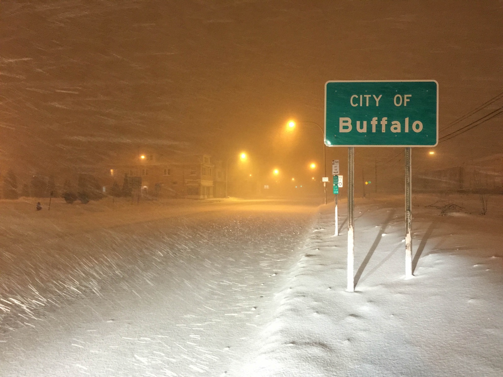
| Syracuse, New York | ~128 in | The snowiest big city in the US, fed by Lake Ontario. |
| Marquette, Michigan | ~150 in | Lake Superior snowbelt; the NWS office above town averages nearly 200 in. |
Winter forecast and snow normals by state
Snow depth map FAQ
Snow depth and snowfall are modeled values from Open-Meteo's forecast API, read in your browser; not NOAA observations. Official analyses: NOAA NOHRSC National Snow Analysis, USDA NRCS SNOTEL. Hero image: “Winter at Mount Rainier (31961755392)” by Mount Rainier National Park from Ashford, WA, United States, CC BY 2.0. See also the winter 2026–27 outlook for every state →