
Snowpack Percent of Normal, State by State
How much water is standing in the snow right now, at every federal snow station in the West, against the median for that same station on that same calendar day. One measurement, one baseline, named on every figure.
Every covered state, right now
Where the instruments are
There are about a thousand of these across the West and Alaska and they are not evenly spread. They cluster where somebody downstream had a water right worth forecasting, which is why Utah has more than Montana despite being smaller, and why the whole eastern half of the country has none at all.
Weight, not depth
Ask most people how much snow is up there and they answer in feet. Ask a water manager and they answer in inches, because they mean something different: the inches of water you would be left with if you melted the whole column in place. That is snow water equivalent, and it is what the network measures.
The reason for the distinction is that snow density varies enormously. A cold dry storm can lay down snow that is a twentieth water by weight; a warm wet one arriving off the Pacific can be closer to a third. Two mountains with four feet of snow on them can be holding amounts of water that differ by a factor of three, and only one of those numbers predicts a river.
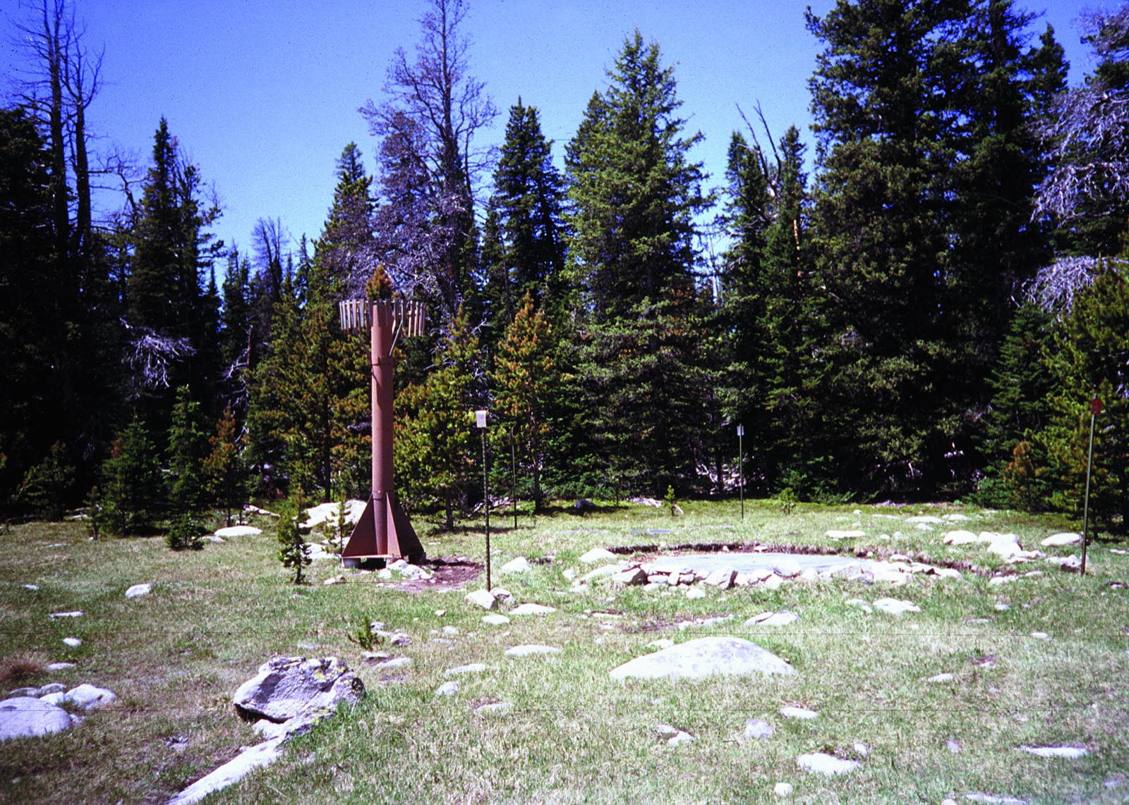
So the instrument does not measure depth at all. It weighs. A bladder of antifreeze lies flat on the ground before the first snow falls, the season stacks up on top of it, and the pressure inside reports the load. A separate sonic ranger on the mast does read depth, and the two together give the density, but the pillow is the one that matters.
When each state peaks, and when it lets go
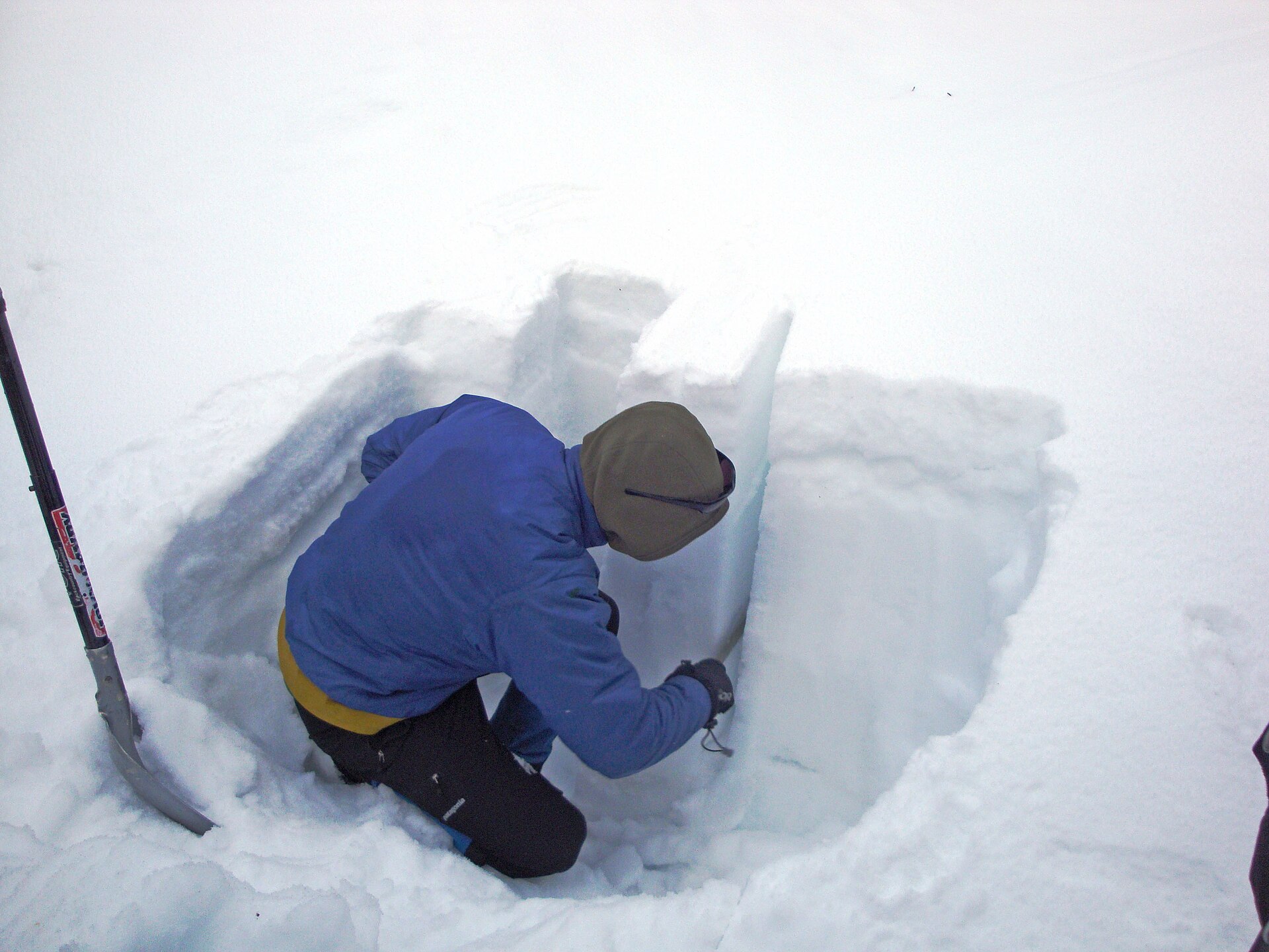
A snow year is not a bell curve on a fixed calendar. It starts when the ground gets cold enough to keep what falls, it climbs through winter with every storm and loses a little to every thaw, and at some point the losses start beating the gains. That turning point is the peak, and it moves by nearly two months across these twelve states.
April 1 is the benchmark everybody quotes, and it is a compromise. In the northern Rockies it lands close to the real peak. In the Southwest the peak is a month behind it and the snow is already going.
Why some stations are held out
The largest data quality problem in this network is a station that has stopped working. A dead pillow does not report nothing; it reports zero. The agency marks such a value as estimated rather than valid, but the fast daily files this site reads carry no marks at all, only numbers.
The rule is blunt: a station reporting exactly zero water on a day when its own normal is an inch or more is held out of every total. Checked against the agency’s own quality flags for a mid March date, it agrees with them closely, which is why it is the rule in use.
The error runs one way. In a genuinely early melt year, a low station that really has melted out gets held out too, which nudges the state figure very slightly upward. A failed sensor counted as zero would be the larger error, and it would drag a whole state down.
Measured, not assumed. On March 15, 2026 the rule held out 91 stations across these 12 states, and the agency had independently flagged 72 of those 91, or 79 percent, as something other than valid. The check is re-run every time the station inventory is rebuilt and the per state figures are on each state page.
States without a snow telemetry network
12 states have a snow telemetry network and a page here. The network exists to forecast summer water supply in the West, where a year of water arrives as winter snow and gets released across a dry summer. Where that is not how water works, no agency built stations, and the 38 states below are grouped by that reason.
A network too small to describe a state
South Dakota has exactly two active snow telemetry stations, both in the Black Hills, both above 6,100 feet, and both in the same basin. Two instruments in one range cannot describe a state, and a percentage computed from them would be a percentage about two clearings. They are in the national counts on this site.
South Dakota
No snow telemetry network at all
The snow telemetry network exists to forecast summer water supply in the West, where a year’s water arrives as winter snow and is released over a dry summer. East of the Rockies that is not how water works: rain falls through the growing season, reservoirs refill from it, and no federal agency ever built a mountain snow network because no water supply forecast needed one. The station inventory lists no active stations in this state as of 2026-09-04. Snow falls here in most winters, and no instrument network measures the water in it.
Maine, New Hampshire, Vermont, Massachusetts, Connecticut, Rhode Island, New York, New Jersey, Pennsylvania, Maryland, Virginia, Kentucky, Ohio, Indiana, Illinois, Michigan, Wisconsin, Minnesota, Missouri, Iowa, Kansas, Nebraska, North Dakota
Little or no seasonal snowpack to measure
There is no active snow telemetry station in this state and no seasonal mountain snowpack for one to sit in. Snow falls in some winters and melts within days, which is weather rather than a stored water supply. The station inventory lists no active stations here as of 2026-09-04.
Delaware, South Carolina, Georgia, Florida, Alabama, Mississippi, Louisiana, Arkansas, Texas, Oklahoma
High ground, and still no network
This state has ground high enough and cold enough to hold snow for months, and it still has no active snow telemetry station. The network was built where a downstream water right depended on the forecast, which is a legal and economic history rather than a physical one. The station inventory lists no active stations here as of 2026-09-04.
West Virginia, North Carolina, Tennessee, Hawaii
Where every number here came from
- USDA NRCS Air and Water Database, daily snow water equivalent filesfederal, public domain Read 2026-09-04.
One file per calendar day carrying every station’s entire period of record for that day. Measured at 102,474 bytes and 0.17 seconds for September 3 and 192,640 bytes for March 15, keyless and open to any origin. This is the source of every reading on these pages.
- USDA NRCS Air and Water Database REST APIfederal, public domain Read 2026-09-04.
The documented API behind the same database. Used to build the station inventory, to verify that the daily files decode correctly, and as the fallback when the daily files cannot be reached.
- USDA NRCS report generatorfederal, public domain Read 2026-09-04.
The one source that emits NRCS’s own labelled percent of median. Used to prove our figures reproduce the agency’s: all 118 Colorado stations matched exactly on value, median and percentage for March 15, 2026. Too slow to read live, at 8.9 seconds for one state.
- USDA NRCS interactive station mapfederal, public domain Read 2026-09-04.
The agency’s own live map of every station it operates. This is where a reader goes for the official current picture, and every page in this vertical links it.
- USGS Watershed Boundary Datasetfederal, public domain Read 2026-09-04.
NRCS station records carry a bare twelve digit hydrologic unit code and no name. The basin names on these pages come from the USGS boundary dataset, which named all 96 six digit basins in the station inventory.
- California Department of Water Resources, California Data Exchange Centerstate agency, linked not reproduced Read 2026-09-04.
California’s own snow survey and the authority for California snowpack. Its data cannot be read from a browser on this site because it sends no cross origin header on any endpoint tested, including the preflight. It is linked rather than reproduced, and the California page explains where the two networks disagree.
Snowpack and water supply FAQ
Pick a state
Snow water equivalent measurements are federal records collected by the USDA Natural Resources Conservation Service and are in the public domain. Percentages on this site use the 1991 to 2020 normals period. Statewide and basin figures are our arithmetic on those measurements and are not agency published indices. Water supply forecasts and runoff projections come from the agencies linked above. Snowpack hub. 38 states have no snow telemetry network and are named above with the reason.
Hero image: “Cloud Peak SNOTEL site in Montana” — USDA Natural Resources Conservation Service — Public Domain