
Wyoming Snowpack: Water in the Snow, Station by Station
Wyoming holds the headwaters of the Snake, the Green, the Yellowstone and the North Platte inside one state boundary. It has the latest median peak date in the lower forty eight and the highest share of its stations carrying a full thirty year normal.
Where Wyoming snowpack stands
Wyoming snow stations on the map
The Wyoming stations, lowest first
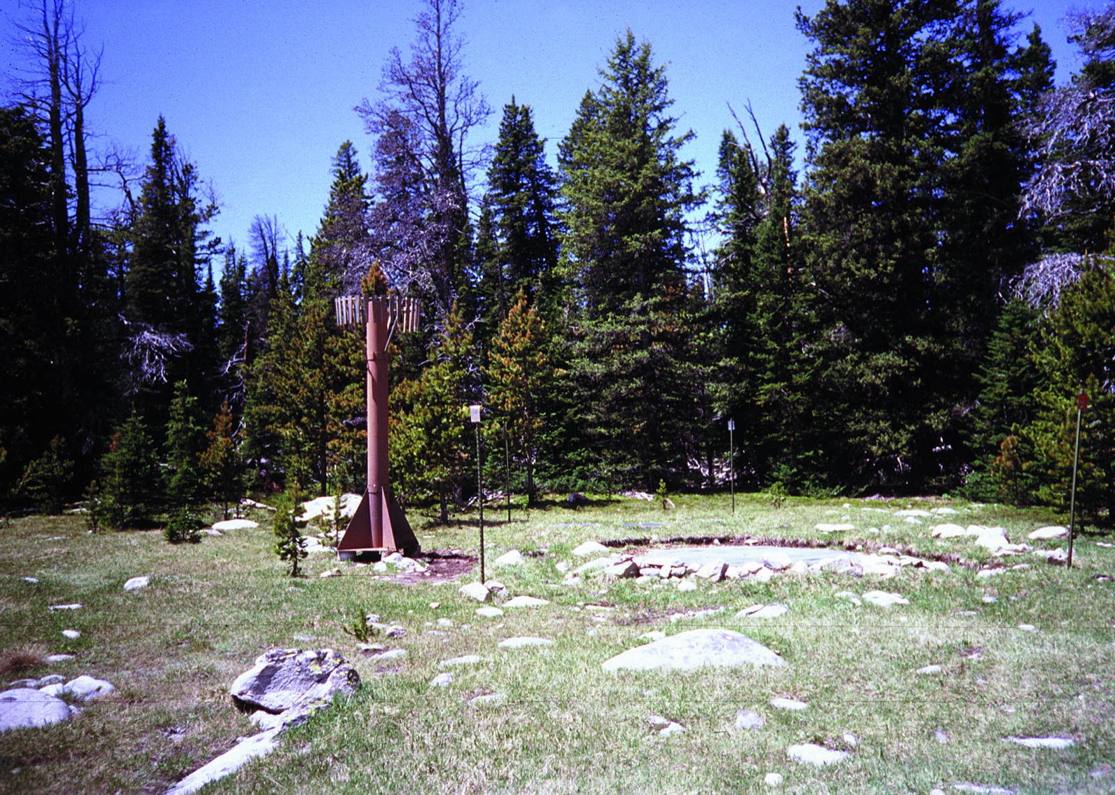
A station is one clearing. It reads the snow lying on its own pillow, and that can differ sharply from a slope a mile away and a thousand feet higher. Reading one station against its own past is far more informative than reading two stations against each other, which is why the last column gives each one its own percentile rather than a rank against its neighbours.
Which Wyoming basins are carrying the water
Wyoming is the roof. Water leaving it goes to the Columbia through the Snake, to the Colorado through the Green, and to the Mississippi through the Yellowstone and the Platte, so a Wyoming snow year is read by water managers in states that do not border it.
The basin names below are the six digit hydrologic units the station records carry, named from the United States Geological Survey boundary dataset. Wyoming covers 11 of them across 15 counties. A basin appears once three or more of its stations are reporting.
This day, across the Wyoming record
A single percentage tells you where today sits against a thirty year median. It does not tell you whether that is unusual, and the two questions have genuinely different answers: a state can be at 70 percent of median in a year that is nowhere near its worst.
What the agency forecast for Wyoming in 2026
This is the completed record of a finished season. The Natural Resources Conservation Service issues seasonal runoff volume forecasts for 49 points in Wyoming, monthly through the winter and spring, and each issue supersedes the last. Below are the biggest of those points and how each forecast moved as the snow year revealed itself.
The current runoff forecast is published by the agency; the most recent issue shown here is months old by definition, because the series closes in early summer. For the forecast that applies now, go to the agency, or to NOAA Missouri Basin River Forecast Center for river stage.
Snake R ab Reservoir nr Alpine
April 1 to July 31 runoff volume, thousands of acre feet. Normal for that period 2140. 4 issues on file for water year 2026.
The bar is the range the agency published at each issue, from the ninety percent exceedence value at the bottom to the ten percent value at the top, with the fifty percent value marked. An exceedence probability is the chance the actual volume exceeds that number, so ninety is the low end and ten is the high end. The fifty percent figure moved from 3440 on the January 1 issue to 1830 on the April 1 issue, or 161 percent of normal down to 86 percent. Those are the agency’s numbers for a season that has finished; the current forecast is on the agency’s own site.
Bighorn R at Kane
April 1 to July 31 runoff volume, thousands of acre feet. Normal for that period 1000. 4 issues on file for water year 2026.
The bar is the range the agency published at each issue, from the ninety percent exceedence value at the bottom to the ten percent value at the top, with the fifty percent value marked. An exceedence probability is the chance the actual volume exceeds that number, so ninety is the low end and ten is the high end. The fifty percent figure moved from 1300 on the January 1 issue to 645 on the April 1 issue, or 130 percent of normal down to 65 percent. Those are the agency’s numbers for a season that has finished; the current forecast is on the agency’s own site.
North Platte R bl Glendo Reservoir
April 1 to July 31 runoff volume, thousands of acre feet. Normal for that period 745. 4 issues on file for water year 2026.
The bar is the range the agency published at each issue, from the ninety percent exceedence value at the bottom to the ten percent value at the top, with the fifty percent value marked. An exceedence probability is the chance the actual volume exceeds that number, so ninety is the low end and ten is the high end. The fifty percent figure moved from 690 on the January 1 issue to 220 on the April 1 issue, or 93 percent of normal down to 30 percent. Those are the agency’s numbers for a season that has finished; the current forecast is on the agency’s own site.
North Platte R bl Guernsey Reservoir
April 1 to July 31 runoff volume, thousands of acre feet. Normal for that period 745. 4 issues on file for water year 2026.
The bar is the range the agency published at each issue, from the ninety percent exceedence value at the bottom to the ten percent value at the top, with the fifty percent value marked. An exceedence probability is the chance the actual volume exceeds that number, so ninety is the low end and ten is the high end. The fifty percent figure moved from 690 on the January 1 issue to 225 on the April 1 issue, or 93 percent of normal down to 30 percent. Those are the agency’s numbers for a season that has finished; the current forecast is on the agency’s own site.
Boysen Reservoir Inflow
April 1 to July 31 runoff volume, thousands of acre feet. Normal for that period 730. 4 issues on file for water year 2026.
The bar is the range the agency published at each issue, from the ninety percent exceedence value at the bottom to the ten percent value at the top, with the fifty percent value marked. An exceedence probability is the chance the actual volume exceeds that number, so ninety is the low end and ten is the high end. The fifty percent figure moved from 900 on the January 1 issue to 240 on the April 1 issue, or 123 percent of normal down to 33 percent. Those are the agency’s numbers for a season that has finished; the current forecast is on the agency’s own site.
Snake R nr Moran
April 1 to July 31 runoff volume, thousands of acre feet. Normal for that period 730. 4 issues on file for water year 2026.
The bar is the range the agency published at each issue, from the ninety percent exceedence value at the bottom to the ten percent value at the top, with the fifty percent value marked. An exceedence probability is the chance the actual volume exceeds that number, so ninety is the low end and ten is the high end. The fifty percent figure moved from 990 on the January 1 issue to 600 on the April 1 issue, or 136 percent of normal down to 82 percent. Those are the agency’s numbers for a season that has finished; the current forecast is on the agency’s own site.
Volumes are in thousands of acre feet, in the units the agency publishes. Each point’s forecast period is printed above its chart, because the period is not the same everywhere: the Southwest runs off earlier and its forecasts are issued for an earlier window. Volumes from different periods are not comparable.
What the Wyoming snowpack number shows
The peak date on this page is a median of medians. Across the 84 Wyoming stations that publish one, the individual median peak dates span 43 days, from March 27 to May 9. A low station on a south face and a high one in a north facing cirque are in different climates, and averaging them produces a date that describes neither.
5 of the 89 Wyoming stations have no 1991 to 2020 median at all, nearly always because they were installed too recently to have thirty years behind them. A station with no normal cannot be a percentage of one, so it appears on the map and in the table with its measurement and no percentage, and it is left out of the state total. The panel at the top of this page prints both counts.
Almost every Wyoming station carries a 1991 to 2020 normal, which makes its state figure the least caveated in the network. The stat panel prints the count either way.
How Wyoming sits against the rest of the network. Its middle station is at 8,680 ft, against 10,275 ft in Colorado and 1,345 ft in Alaska. Elevation is not a proxy for depth: the deepest packs in the country sit on some of the lowest stations, because a maritime climate delivers far more water per storm than a continental one.
Wyoming snowpack FAQ
Snow, melt and what happens after
Avalanche forecasts for the layers inside this same snowpack are issued by named forecasters at the avalanche centres: avalanche forecasts by state.
Other Northern Rockies states with a network
Sources for this page
- USDA NRCS Air and Water Database, daily snow water equivalent filesfederal, public domain Read 2026-09-04.
One file per calendar day carrying every station’s entire period of record for that day. Measured at 102,474 bytes and 0.17 seconds for September 3 and 192,640 bytes for March 15, keyless and open to any origin. This is the source of every reading on these pages.
- USDA NRCS Air and Water Database REST APIfederal, public domain Read 2026-09-04.
The documented API behind the same database. Used to build the station inventory, to verify that the daily files decode correctly, and as the fallback when the daily files cannot be reached.
- USDA NRCS report generatorfederal, public domain Read 2026-09-04.
The one source that emits NRCS’s own labelled percent of median. Used to prove our figures reproduce the agency’s: all 118 Colorado stations matched exactly on value, median and percentage for March 15, 2026. Too slow to read live, at 8.9 seconds for one state.
- USDA NRCS interactive station mapfederal, public domain Read 2026-09-04.
The agency’s own live map of every station it operates. This is where a reader goes for the official current picture, and every page in this vertical links it.
- USGS Watershed Boundary Datasetfederal, public domain Read 2026-09-04.
NRCS station records carry a bare twelve digit hydrologic unit code and no name. The basin names on these pages come from the USGS boundary dataset, which named all 96 six digit basins in the station inventory.
- California Department of Water Resources, California Data Exchange Centerstate agency, linked not reproduced Read 2026-09-04.
California’s own snow survey and the authority for California snowpack. Its data cannot be read from a browser on this site because it sends no cross origin header on any endpoint tested, including the preflight. It is linked rather than reproduced, and the California page explains where the two networks disagree.
Snow water equivalent measurements on this page are federal records collected by the USDA Natural Resources Conservation Service and are in the public domain. Percentages use the 1991 to 2020 normals period. The Wyoming and basin totals are our arithmetic on those measurements and are not agency published indices. Water supply forecasts and runoff projections come from the agencies named above. Every state with a snowpack page →
Hero image: “-TravelTuesday with My Public Lands (24212151492)” — mypubliclands — Public domain