
Beach Conditions 2026: Live Rip Current and Swim Risk
Every National Weather Service surf zone forecast in the country, reproduced exactly as the issuing office wrote it, with the office and issuance time attached.
Checking every active NWS beach hazard product in the country…Find the forecast zone for your beach
NWS forecasts the surf zone by county-sized areas, not by individual beach. Enter a ZIP and this finds the nearest of the 173 zones and pulls its current forecast, with the issuing office and issuance time.
What the National Weather Service is saying about the beach right now
Live · api.weather.govThe National Weather Service issues a Surf Zone Forecast for 26 states plus Puerto Rico, the US Virgin Islands, Guam and the Northern Marianas. It is the official product, it is free, and this page passes its categories through unchanged.
Two scales, and they are not the same scale
Ocean offices publish a Rip Current Risk. Great Lakes offices publish a Swim Risk. Both use the words Low, Moderate and High, and both are defined in NWS Instruction 10-320, but they mean different things and are not interchangeable. Both are reproduced here word for word rather than paraphrased, because the wording is the product.
Ocean coasts: Rip Current Risk
The risk for rip currents is low, however, life threatening rip currents often occur in the vicinity of groins, jetties, reefs, and piers.
Life threatening rip currents are possible in the surf zone.
Life threatening rip currents are likely in the surf zone.
Verbatim from NWS Instruction 10-320, June 5 2025, section 2.6.1.
Great Lakes: Swim Risk
Large waves and dangerous currents are not expected, however dangerous currents may exist at any time near piers, breakwalls, and river outlets.
Breaking waves and currents are expected.
Life threatening waves and currents are expected.
Verbatim from NWS Instruction 10-320, June 5 2025, section 2.7.1.
Read the Low step on both. Neither says the water is safe. Both name the same thing as the exception: fixed structures. That is the single most consistent message in the entire product line, and it is the one that gets lost when a category is reduced to a colour.
Active beach hazard products
These are the three products that mean the water itself is dangerous today, every one currently in effect anywhere in the United States. A Rip Current Statement carries rip current information only. A Beach Hazards Statement covers everything else: dangerous currents, unusually cold water, lightning along the shoreline, unusual surf below advisory criteria. A High Surf Advisory or Warning is the criteria based product for breaking wave action that threatens life and property. NWS Instruction 10-320 assigns the first mainly to Gulf and southern Atlantic offices and the second mainly to West Coast and Great Lakes offices, which is why the mix below skews the way it does.
Checking active NWS beach hazard products…
Every NWS beach forecast zone in the country
All 173 zones, from Roque Bluffs in Maine to Guam. Zones with an active hazard product are ringed in purple as soon as the page loads. Loading today’s Low, Moderate or High category for every zone means pulling the forecast product from all 37 issuing offices, so that is a button rather than something we do to api.weather.gov on every page view.
Every zone in the NWS Surf Zone Forecast product. Each dot is the centre of one NWS forecast zone, not a beach. Categories are reproduced from the issuing office and are not recomputed here. Some offices, including San Francisco, Eureka, Portland and Honolulu, publish a Surf Zone Forecast with no risk category at all, and those zones stay grey no matter the conditions. All states →
Where is it safe to swim this weekend?
No forecast can tell you a beach is safe, and the Surf Zone Forecast is not built to. It runs two days ahead, with an optional condensed three to five day outlook, and NWS Instruction 10-320 caps its expiry at 24 hours from issuance. A Saturday plan made on Wednesday is a guess. What the product does well is tell you, this morning, which stretch of coast the local office is worried about.
So the useful version of the question has four parts:
The Great Lakes are half of this
Eleven of the 37 offices issuing a Surf Zone Forecast are Great Lakes offices: Chicago, Milwaukee, Green Bay, Detroit, Gaylord, Grand Rapids, Marquette, Duluth, Northern Indiana, Buffalo and Cleveland. Between them they cover 68 of the 173 zones on this page. Freshwater is not the quiet half of this product; on a lot of days it is the whole story.
Three things make the lakes behave differently. There is no tide and no ocean swell, so the entire hazard is wind driven and can flip inside an afternoon. The category is called Swim Risk and is defined separately from the ocean Rip Current Risk in NWS Instruction 10-320. And the shoreline is engineered: nearly every lake beach town sits beside a pier, a breakwall or a river mouth.
What the numbers actually support
You will read online that Great Lakes rip currents kill more people than ocean beaches. That claim does not survive contact with the sources, and it is worth being precise about why, because the real picture is serious enough without it.
The Great Lakes Surf Rescue Project has documented between 81 and 108 drownings across the Great Lakes in every year since 2020, and 1,460 since 2010, with Lake Michigan consistently the largest share: 36 of 81 in 2025 and 51 of 94 in 2024. But that count is all drownings, on both the American and Canadian sides, including boating, kayaking, scuba, marina incidents and people falling through winter ice. It carries no rip current breakdown at all. The National Weather Service, by contrast, counts only surf zone fatalities in its own forecast areas and categorises them by hazard: 100 in 2020, 130 in 2021, 84 in 2022, 98 in 2023, 63 in 2024 and 99 in 2025, all causes, and its own pages call those preliminary and hard to track. Setting one number against the other is not a comparison.
What NWS does say about causation on the lakes is specific and more useful. NWS Northern Indiana reports that rip currents account for nearly half of current related incidents on the Great Lakes, that a majority of those incidents happen near piers and breakwalls, and that 85 percent of them occur when waves are 3 feet or greater. Michigan Sea Grant, citing the NWS Great Lakes Current Incident Database, puts the conditions plainly: incidents most often occur when winds are blowing toward shore and wave heights reach 3 to 6 feet.
So the defensible version is this. The Great Lakes are not the safe alternative to the ocean. They drown roughly a hundred people a year, the largest share of it in Lake Michigan, and the specific thing that gets people is an onshore wind pushing 3 foot waves against a pier or a breakwall on a warm afternoon that looks fine from the parking lot.
Great Lakes beach conditions by state
Eleven NWS offices, no tide and no ocean swell. Risk here is wind driven, which means it changes inside an afternoon, and the category is called Swim Risk rather than Rip Current Risk.
How to get out of a rip current
NOAA and the United States Lifesaving Association put rip currents at over 100 drowning deaths a year in the United States and over 80 percent of all rescues performed by surf beach lifeguards. The guidance below follows the current National Weather Service wording, in the order NWS uses it.
If you are on the beach and someone else is caught
- Alert the lifeguard. If there is no lifeguard, call 911.
- Throw the person something that floats: a life jacket, a cooler, a boogie board, a ball.
- Shout to them to swim along the shoreline until they escape the pull.
- Do not swim out to them. NWS says it plainly: many would-be rescuers have drowned trying to help others. Never enter the water without a flotation device.
Wording follows the National Weather Service pages Before You Go in the Water and Dangerous Currents, read on August 23, 2026.
Where the Surf Zone Forecast runs
Thirty US states have an ocean or Great Lakes shoreline. NWS issues a Surf Zone Forecast for 26 of them, plus Puerto Rico, the US Virgin Islands, Guam and the Northern Marianas, and each of those 26 states has a page here. Four coastal states have no Surf Zone Forecast:
Connecticut
Long Island Sound is a sheltered estuary with very little swell, and no NWS office issues a Surf Zone Forecast for the Connecticut shoreline.
Mississippi
NWS New Orleans/Baton Rouge covers the Mississippi Sound beaches but does not issue a Surf Zone Forecast; beach hazard information there comes through alerts and the local Hazardous Weather Outlook.
Louisiana
Grand Isle and the Chandeleur shoreline sit in NWS New Orleans/Baton Rouge territory, which issues no Surf Zone Forecast.
Alaska
Alaska has more coastline than the rest of the country combined and almost no swimming beaches; its offices issue High Surf Advisories but no Surf Zone Forecast.
Gaps inside the covered states
Coverage is not uniform even where it exists. NWS Houston/Galveston issues no Surf Zone Forecast, so Galveston and the upper Texas coast are outside the product entirely. NWS Seattle issues none either, so the only Washington location in it is Long Beach, and the whole Olympic coast and Puget Sound are not in it. And four offices publish a Surf Zone Forecast with no rip current category at all: San Francisco, Eureka, Portland and Honolulu give you surf height, swell, tides and water temperature and leave the Low, Moderate and High field out. Those are the offices’ own decisions, and those zones show surf, swell, tides and water temperature with no category.
Beach conditions in every covered state
The Great Lakes
Eleven NWS offices, no tide and no ocean swell. Risk here is wind driven, which means it changes inside an afternoon, and the category is called Swim Risk rather than Rip Current Risk.
The Atlantic coast
Maine to Florida. Long period swell from distant storms is the classic trap here: the surface can look almost flat while wave energy in the surf zone is well above normal.
The Gulf coast
Shallow, warm and short fetch, which makes the water look harmless. Rips still form at sandbar cuts and beside the passes, and Moderate risk under one foot of surf is a routine Panhandle forecast.
The Pacific coast and Hawaii
The one region where the forecast changes shape. Southern California gets a rip current category; San Francisco, Eureka, Portland and Honolulu publish a surf zone forecast with no category at all.
Beach conditions FAQ
Every risk category, surf height, water temperature and tide value on this page is read live in your browser from the National Weather Service Surf Zone Forecast and active alerts at api.weather.gov, and reproduced as issued with the issuing office and issuance time. NWS is the authority on surf zone conditions. Category definitions are quoted from NWS Instruction 10-320 (June 5, 2025). Drowning and rescue figures are attributed inline to the National Weather Service, the Great Lakes Surf Rescue Project and the United States Lifesaving Association. Swim near a lifeguard.
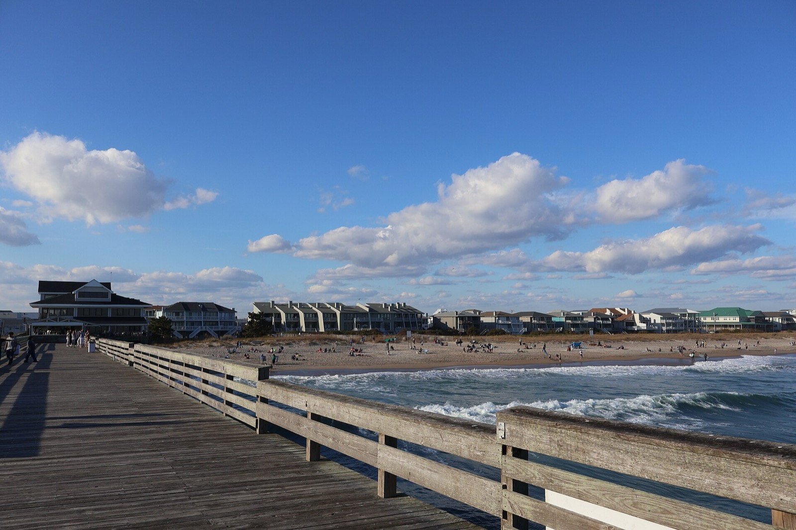
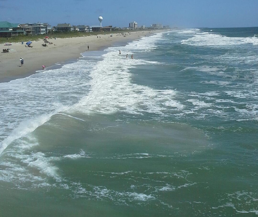
Hero image: “Crystal Pier in Wrightsville Beach (January 2023) 5” by DiscoA340, CC BY-SA 4.0