Lincoln City Oregon
Pacific
NWS PQR did not include this zone in its current Surf Zone Forecast. Offices commonly drop zones outside the local swim season rather than issue a blank one.

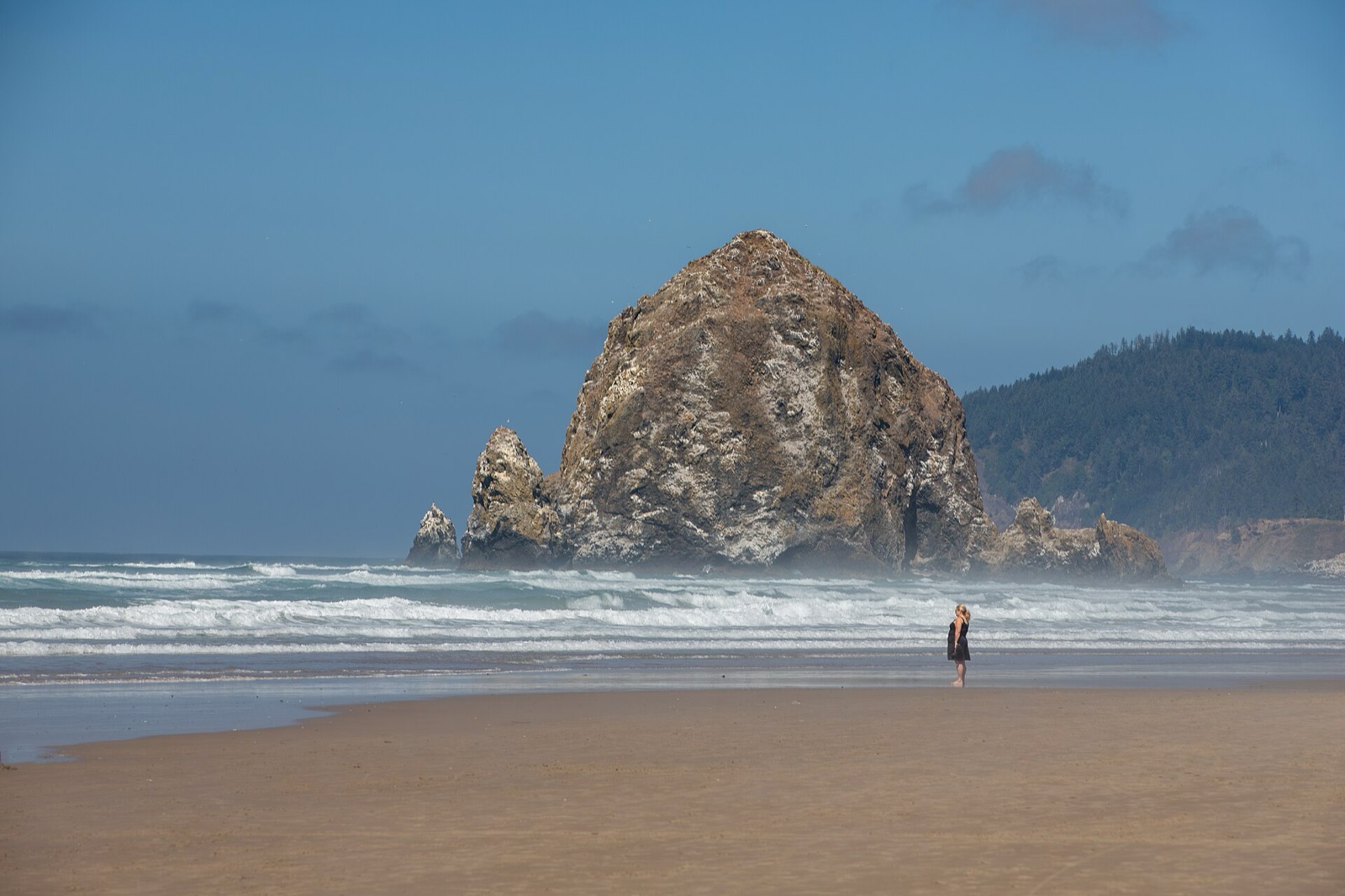
Live from the National Weather Service Surf Zone Forecast, reproduced as issued for 5 forecast zones across Oregon.
NWS publishes no rip current risk category in OregonNWS Portland issues the Oregon surf forecast once per day after 6 am with no updates, so an afternoon check is reading a morning forecast.
Every value below is reproduced from the National Weather Service Surf Zone Forecast exactly as the issuing office wrote it. On a life-safety product the official category is the answer, and the zone you are standing in is the one that matters, so zones are never blended into a state figure. Oregon is covered by 5 forecast zones, issued by MFR, PQR.
What the forecast carries here. The Oregon Surf Zone Forecast gives you surf height, offshore swell, wind, weather, tides and sunrise times, and NWS Portland labels the forecast wave heights experimental. There is no Low, Moderate or High rip current category anywhere in it; instead the product carries standing sneaker wave and cold water language, and NWS escalates to Beach Hazards Statements and High Surf Advisories when conditions warrant.
Pacific
NWS PQR did not include this zone in its current Surf Zone Forecast. Offices commonly drop zones outside the local swim season rather than issue a blank one.
Pacific
NWS PQR did not include this zone in its current Surf Zone Forecast. Offices commonly drop zones outside the local swim season rather than issue a blank one.
Pacific
NWS PQR did not include this zone in its current Surf Zone Forecast. Offices commonly drop zones outside the local swim season rather than issue a blank one.
Pacific
NWS MFR did not include this zone in its current Surf Zone Forecast. Offices commonly drop zones outside the local swim season rather than issue a blank one.
Pacific
NWS MFR did not include this zone in its current Surf Zone Forecast. Offices commonly drop zones outside the local swim season rather than issue a blank one.
These are the three NWS products that mean the beach itself is dangerous today. A Rip Current Statement covers rip currents only; a Beach Hazards Statement covers everything else, and is what the Great Lakes and West Coast offices lean on; a High Surf Advisory or Warning is the criteria based surf product.
Checking active NWS beach hazard products…
Every NWS forecast zone in Oregon, coloured by the category its office published today. Zones with a hazard product in effect are ringed in purple. Zones stay grey where the office publishes no category at all.
Oregon NWS Surf Zone Forecast zones. Each dot is the centre of one NWS forecast zone, not a beach. Categories are reproduced from the issuing office and are not recomputed here. Some offices, including San Francisco, Eureka, Portland and Honolulu, publish a Surf Zone Forecast with no risk category at all, and those zones stay grey no matter the conditions. All states →
NWS forecasts the surf zone by county-sized areas, not by beach, so the first useful question is which zone you are in. Enter a ZIP and this snaps to the nearest Oregon zone and pulls its current forecast.
The ocean scale has three steps, and the most important sentence in it is inside the Low step: life threatening rip currents often occur near groins, jetties, reefs and piers even when the category reads Low. Structural rips sit in a fixed spot and run in small surf.
The risk for rip currents is low, however, life threatening rip currents often occur in the vicinity of groins, jetties, reefs, and piers.
Life threatening rip currents are possible in the surf zone.
Life threatening rip currents are likely in the surf zone.
Verbatim from NWS Instruction 10-320, June 5 2025, section 2.6.1.
Large waves and dangerous currents are not expected, however dangerous currents may exist at any time near piers, breakwalls, and river outlets.
Breaking waves and currents are expected.
Life threatening waves and currents are expected.
Verbatim from NWS Instruction 10-320, June 5 2025, section 2.7.1. Shown so the two are not confused: they are separate scales.
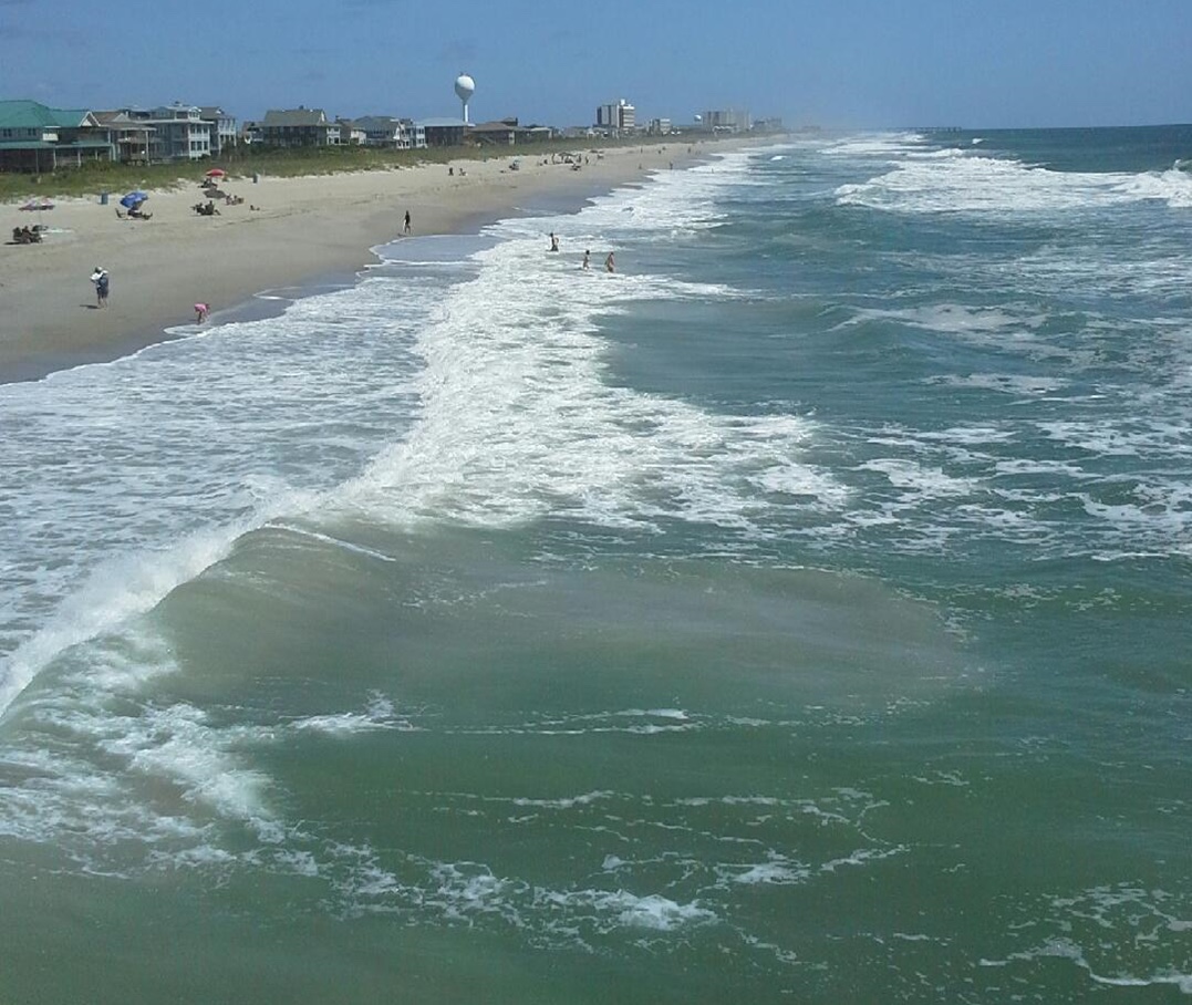
NWS explains the mechanism two ways. Channel rips form where waves break unevenly along the shore: water piles up where they break hardest, runs sideways to where it breaks least, then turns and flows back out through a gap in the sandbar. Those channels can sit in one place for weeks. Structural rips, which NWS also calls boundary, topographic, permanent or headland rips, form beside groins, jetties, piers, headlands and reef outcrops, are fixed in location, and can run even in small surf.
The Columbia River mouth jetties at Clatsop Spit are the largest structures on the coast and sit where river outflow, tide and ocean swell all meet. Working south, the Tillamook Bay jetties at Garibaldi, the Yaquina Bay jetties at Newport, the Siuslaw jetties at Florence and the Umpqua entrance at Winchester Bay all pin currents against the rock on an outgoing tide. Bar crossings at these entrances are notorious enough that they get their own marine forecasts.
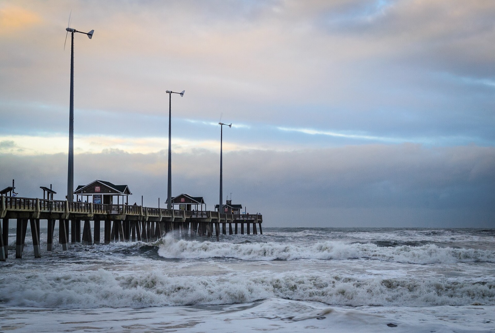
Clatsop County. The most visited beach on the north coast, in a zone NWS Portland forecasts once a day, with a flat expanse that lets surges run far inland around Haystack Rock.
Clatsop County. The busiest swimming crowd in Oregon on a beach with the same cold water and sneaker wave exposure as the empty ones, sharing the Seaside and Cannon Beach forecast zone.
Tillamook County. Seven miles of open sand in the Manzanita and Rockaway zone, close enough to the Tillamook Bay entrance that tidal currents matter at the south end.
Tillamook County. Dory boats launch straight through the surf here, so the surf height line in the zone forecast is read seriously by people who are not swimmers.
Lincoln County. Its own NWS forecast zone, with easy access from Highway 101 putting large numbers of first time visitors onto an unguarded surf beach.
Coos County. Sits beside the Charleston tide station used in the Southwest Oregon forecast, next to the Coos Bay entrance where the ebb pushes hard past the jetty.
Every zone NWS forecasts in Oregon, with the beaches it names: Lincoln City Oregon; Manzanita, Rockaway Beach and Pacific City Oregon; Seaside and Cannon Beach Oregon; Southwest Oregon coastal areas from Port Orford to Brookings; Southwest Oregon coastal areas from Reedsport to Port Orford.
The crowds arrive in late June and thin out after Labor Day, but the water and the swell barely notice the calendar.
There is no statewide ocean lifeguard service on the Oregon coast, and most of the shoreline has no tower of any kind. Water rescues fall to city and county responders, with agencies such as Seaside Police and Seaside Fire and Rescue handling incidents on the busiest north coast beaches. NWS Portland writes its forecast accordingly, warning that cold water, sneaker waves and rip currents can all pose a daily threat to life for visitors on the Oregon and Washington coast, and that this is true for everyone visiting the beach, not just those venturing into the water.
The United States Lifesaving Association puts the chance of fatally drowning at a beach protected by USLA affiliated lifeguards at 1 in 18 million, based on the last ten years of reports from its affiliated agencies. USLA also reports that rip currents account for over 80 percent of rescues performed by surf beach lifeguards. Both figures are about guarded beaches; neither says anything about the unguarded stretch a mile down the sand.
NWS Medford listed 57 to 60 degrees for the Reedsport to Port Orford stretch in late August, cold enough that unplanned immersion is a shock hazard rather than a comfort issue.
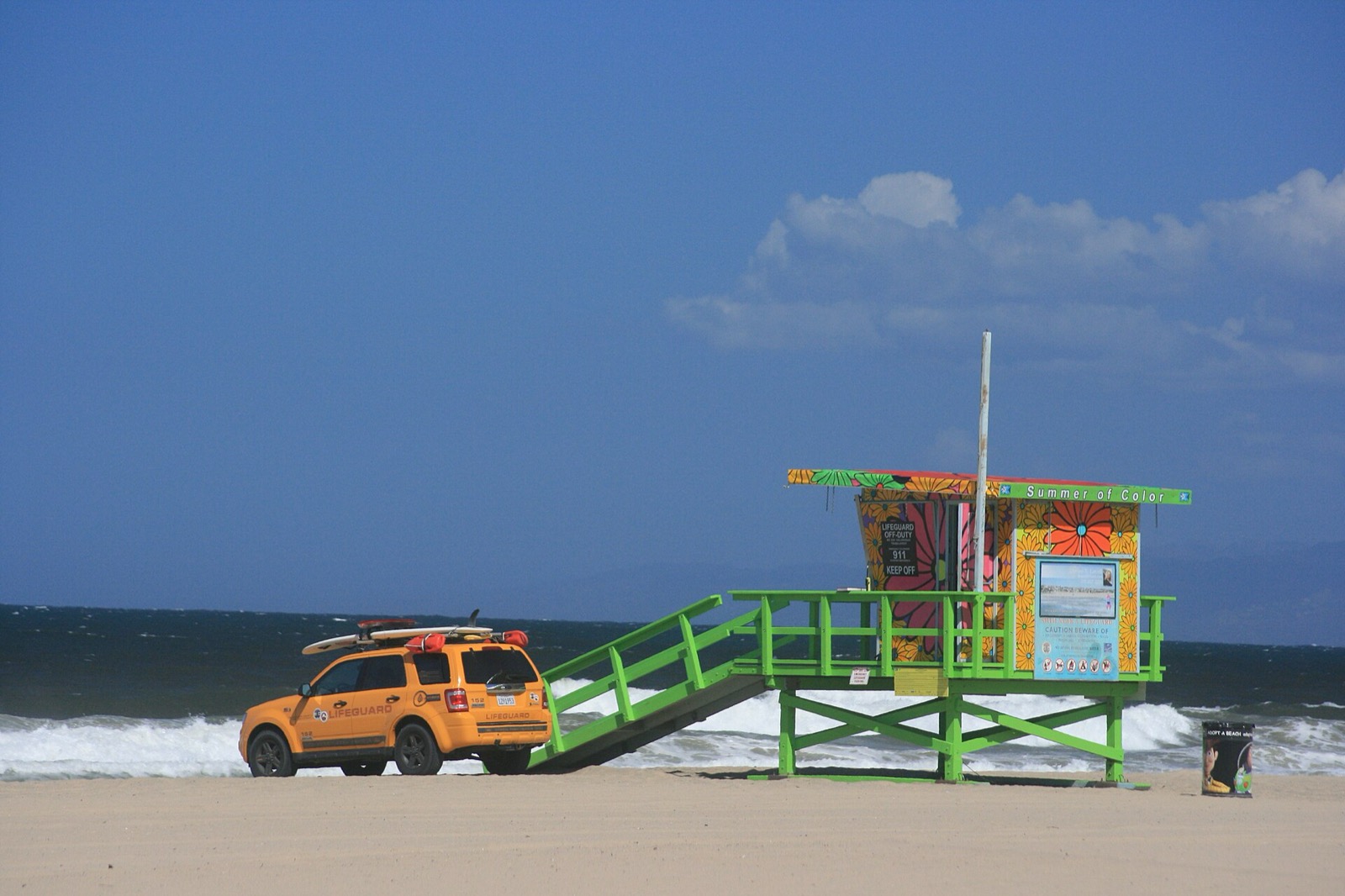
This follows the National Weather Service wording, in the order NWS uses it. That order has changed over the years and the current version does not lead with “swim parallel”. It leads with not fighting the water.
Wording follows the National Weather Service pages Before You Go in the Water and Dangerous Currents, read on August 23, 2026.
Make a trip of it
Guided trips and experiences from local operators.
Browse on Viator Places to stay
Vacation rentals and cabins close to the water.
Browse on VrboWe may earn a commission on bookings made through these links.
Rip current risk, swim risk, surf height, water temperature and tide values on this page are read live in your browser from the National Weather Service Surf Zone Forecast at api.weather.gov and reproduced as issued, attributed to the issuing office with its issuance time. NWS is the authority, and every value is reproduced as issued. Category definitions are quoted from NWS Instruction 10-320 (June 5, 2025). Season windows, lifeguard coverage and local context are researched and are climatological typicals rather than forecasts. National picture: live rip current risk across the country →
Hero image: “Cannon Beach Oregon (53194545287)” by Cindy Shebley, CC BY 2.0