
When US Waterfalls Actually Flow
A waterfall is a river doing something photogenic, and rivers keep schedules. These pages publish the schedule falls by falls: the real driver behind each one, the typical big-water window, live USGS streamflow where a gauge exists, and the managing agency quoted on access.
Trail status, closures and safety rules belong to each falls' managing agency, named and linked on every page.
Four things fill a waterfall
Ask when to visit a falls and you are really asking what fills its river. There are four answers, and each one implies a different calendar.
Snowmelt
The river is a savings account filled all winter and spent in one season. Falls on snowmelt rivers peak between April and early July depending on elevation, then spend the rest of the year drawing down; the famous ones can be near dry by September. Most of the West and the high Northeast works this way.
Rain fed
The river is a checking account: what fell in the last few weeks is what comes over the ledge. Rain-fed falls track the wet season, biggest from late fall through spring in the Northwest and from winter through spring in the Southeast, and they fatten within a day of any soaking storm.
Spring fed
The river comes out of the ground on a schedule set by an aquifer, not by the sky. Spring-fed falls are the exceptions that barely notice the calendar, running within a narrow band all year. There are only a handful of true ones, and they are priceless in September.
Flow controlled
A dam, a diversion or a treaty decides. Some of the most famous falls in the country run on an irrigation calendar or a power schedule, big when water is passed and starved when it is put to work. For these the schedule keeper, not the weather, sets the calendar.
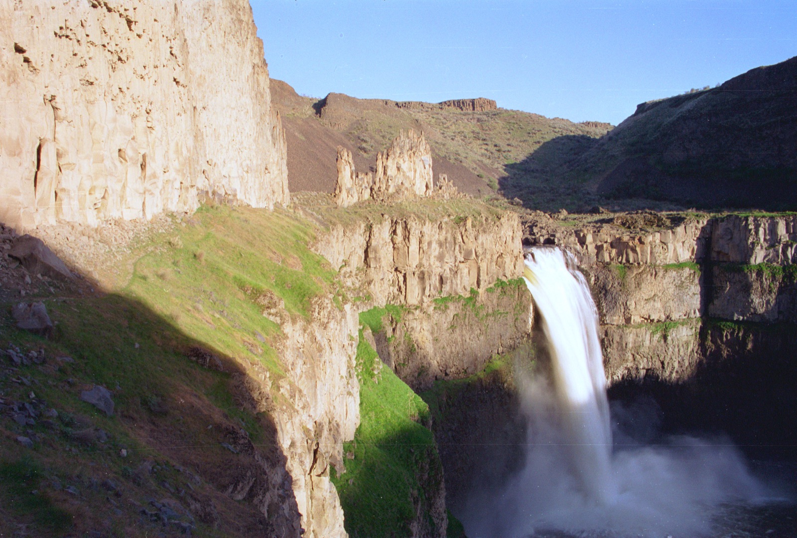
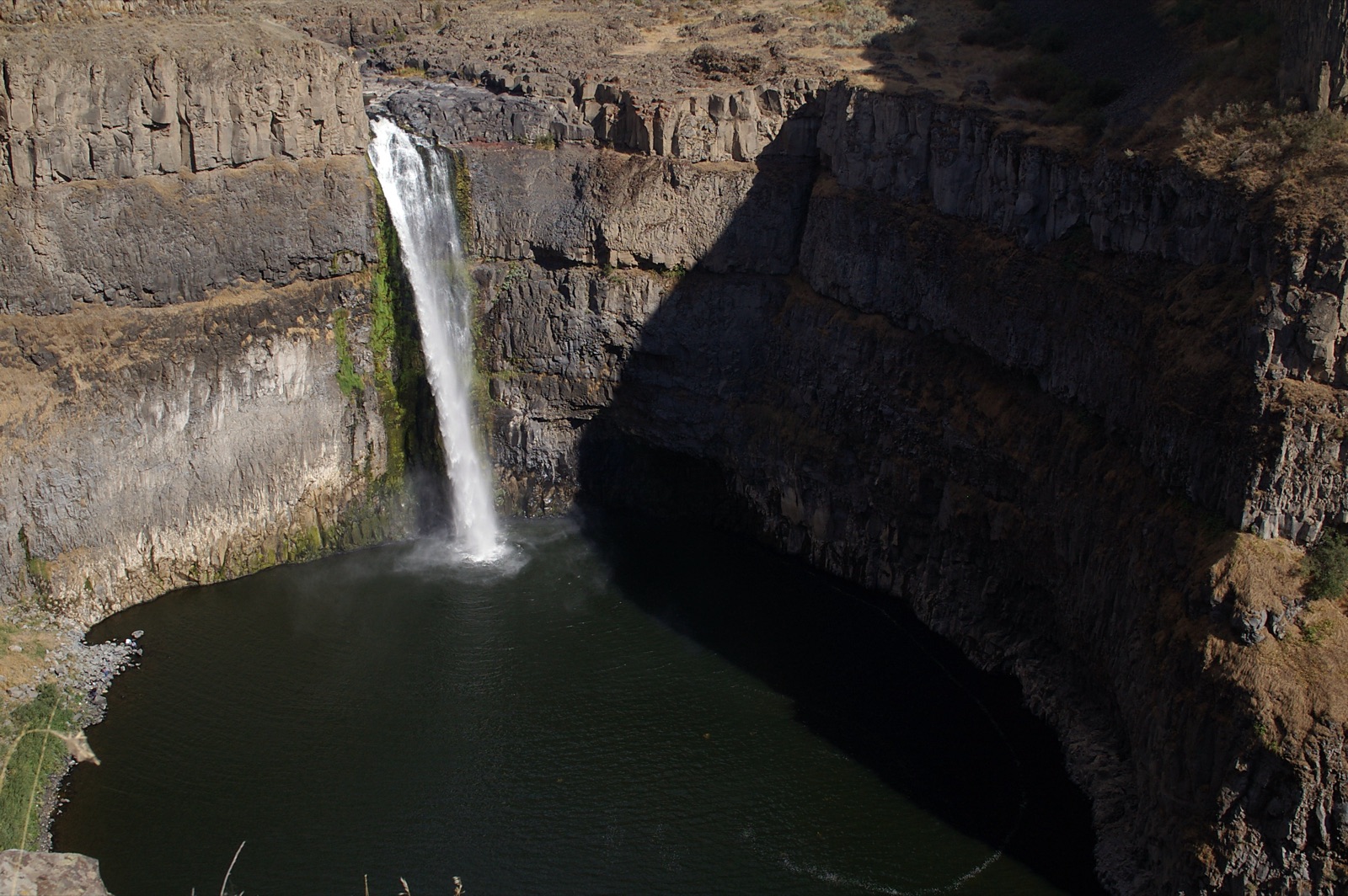
Every documented falls, by state
States with two or more documented falls get a state page; every falls gets its own. Coverage follows the documentation, not the map: a state is here when its falls are real, public, and written up by the agency that manages them.
Falls and states without a page
Coverage follows the documentation: a falls is here when it sits on public land and the agency that manages it has written it up. Privately owned commercial falls are documented by their operators, and two states have no falls with an agency record of that kind.
Well known falls without a page
- Ruby Falls (Tennessee): A privately owned commercial attraction inside Lookout Mountain, with its hours, tickets and access published by the operator.
- Toccoa Falls (Georgia): On the private Toccoa Falls College campus, behind paid admission set by the college.
- Falling Waters State Park (Florida): Florida’s tallest waterfall drops 73 feet into a sinkhole in Falling Waters State Park, and Florida State Parks publishes the park’s hours, access and seasonal notes.
States without pages
- Mississippi: Dunn’s Falls is run by a quasi-public waterway district rather than by a state park agency.
- Louisiana: No significant natural waterfall on public land is documented by a state agency.
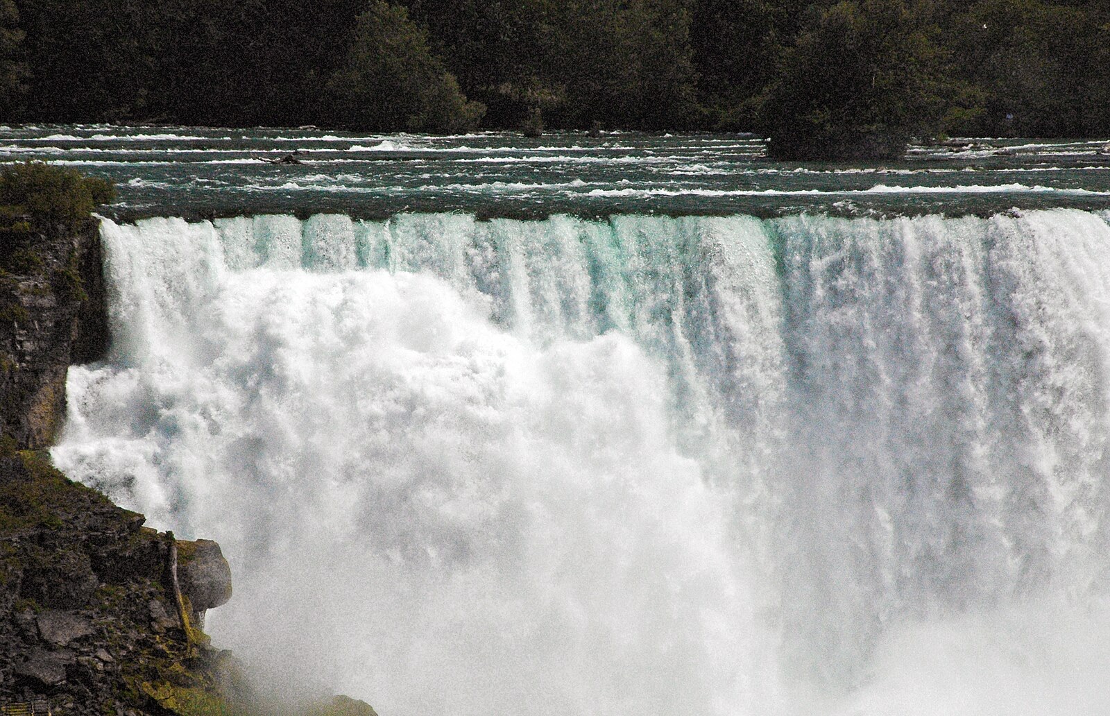
Waterfall season FAQ
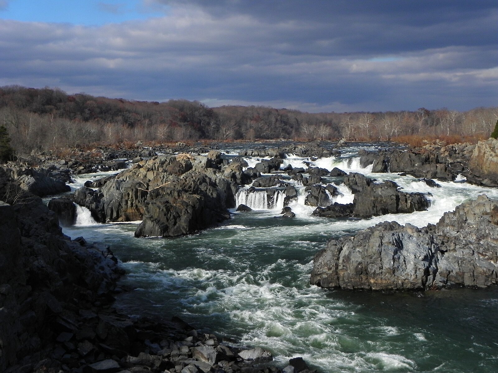
More seasonal timing
Flow windows are typical-year climatology from each watershed's driver, not forecasts. Live readings and per-date percentile bands come from the USGS Water Services (National Water Information System); USGS data are public domain. Where a page says a river is above or below typical for the date, that comparison is ours and is labelled. Access, trails, closures and safety belong to each falls' managing agency, named and linked on every page.