Brandywine Falls
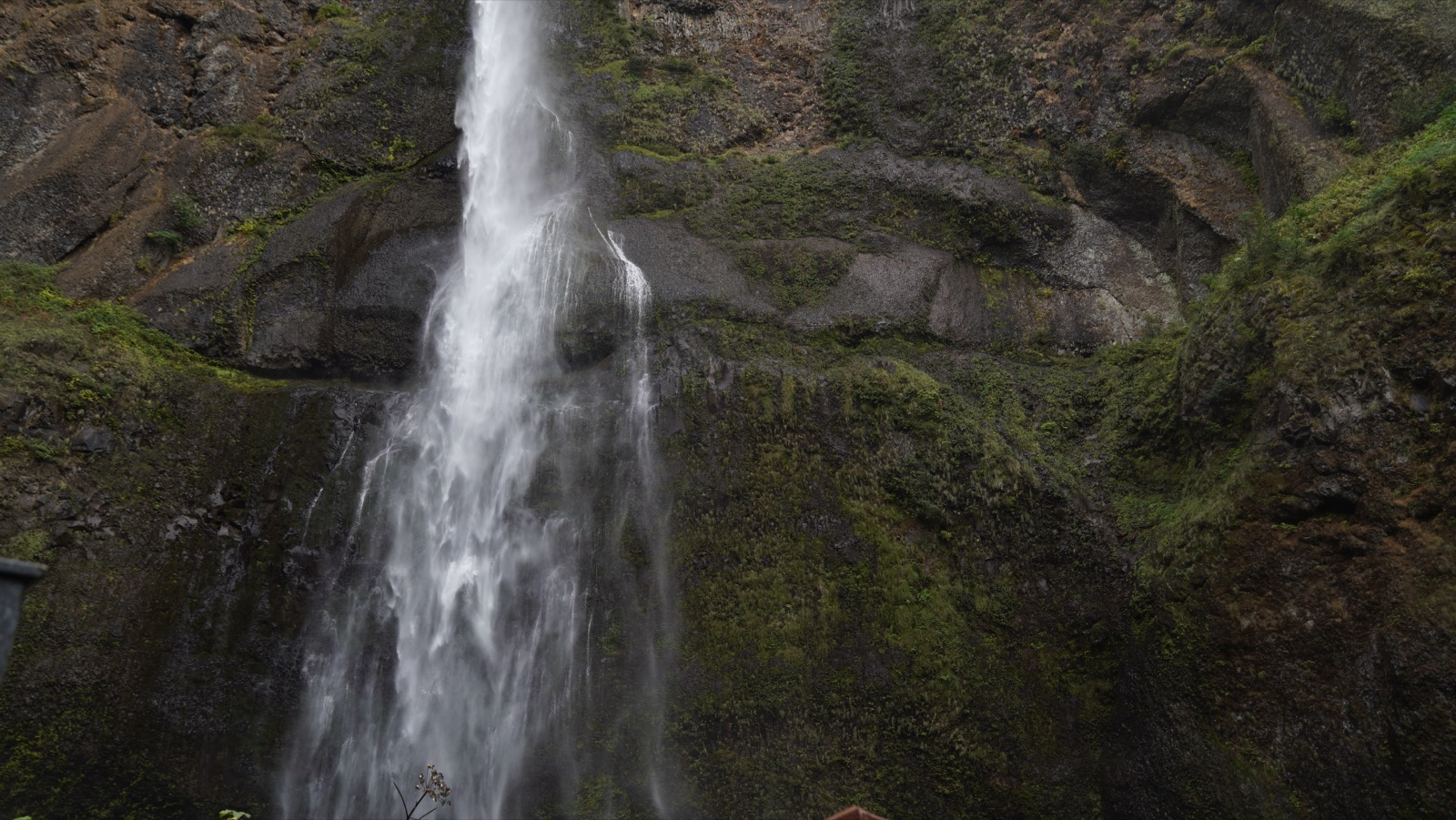
Rain fedCuyahoga Valley's 60 foot bridal veil, which the Park Service candidly notes now runs HIGHER than history thanks to upstream pavement shedding storm water.
Big water: March through May
Reading gaugeFull season page →

3 documented waterfalls in Ohio, when each one actually runs, and what the river is doing right now where a gauge exists.
Trail status, closures and safety rules belong to each falls' managing agency, named and linked on every page.
Each card carries the typical big-water window drawn from the falls' actual driver, and the latest USGS reading on its feeding river where a gauge exists. The full page for each falls explains the season, shows today against the USGS percentile band, and quotes the managing agency on access.
Cuyahoga Valley's 60 foot bridal veil, which the Park Service candidly notes now runs HIGHER than history thanks to upstream pavement shedding storm water.
Hocking Hills' steadiest waterfall, pouring through a notch in the Black Hand sandstone at the head of a hemlock gorge, best in the cold wet half of the year.
A seasonal ribbon pouring 90 feet over the rim of Ohio's grandest recess cave, at its best after winter rain and often reduced to drips by September.
Live readings: USGS Water Services (National Water Information System). Instantaneous values and daily statistics services. U.S. Geological Survey data are works of the United States Government and are in the public domain.
Most of Ohio's documented falls run on rain, so they answer to the last few storms rather than to any fixed date. The mix here is all 3, and 1 of them have an active USGS gauge on or near the stream.
Windows are typical-year climatology from each falls' driver, not forecasts. Live readings and percentile bands are USGS data, public domain; where a page says a river is above or below typical, that comparison is ours and is labelled. Access and safety belong to each falls' managing agency, named on its page. National picture →