Arethusa Falls
SnowmeltCrawford Notch's marquee hike to New Hampshire's grandest single drop, on a brook that rides the White Mountains melt and rewards a spring visit.
Big water: Mid April through June
Reading gaugeFull season page →

4 documented waterfalls in New Hampshire, when each one actually runs, and what the river is doing right now where a gauge exists.
Trail status, closures and safety rules belong to each falls' managing agency, named and linked on every page.
Each card carries the typical big-water window drawn from the falls' actual driver, and the latest USGS reading on its feeding river where a gauge exists. The full page for each falls explains the season, shows today against the USGS percentile band, and quotes the managing agency on access.
Crawford Notch's marquee hike to New Hampshire's grandest single drop, on a brook that rides the White Mountains melt and rewards a spring visit.
The Kancamagus Highway's essential stop: a flume-and-pool cascade reached by an easy graded path, with swimming flatly prohibited in its narrow chute.
A 66 foot plunge on the Ellis River draining Mount Washington's southeast flank, reached by a CCC-built stone stairway off Pinkham Notch.
Franconia Notch's granite slot canyon with 45 foot Avalanche Falls sweeping spray across the boardwalk, open by ticket from spring to late fall.
Live readings: USGS Water Services (National Water Information System). Instantaneous values and daily statistics services. U.S. Geological Survey data are works of the United States Government and are in the public domain.
Most of New Hampshire's documented falls run on snowmelt, so they peak when the high country lets go and fade through the summer. The mix here is all 4, and 3 of them have an active USGS gauge on or near the stream.
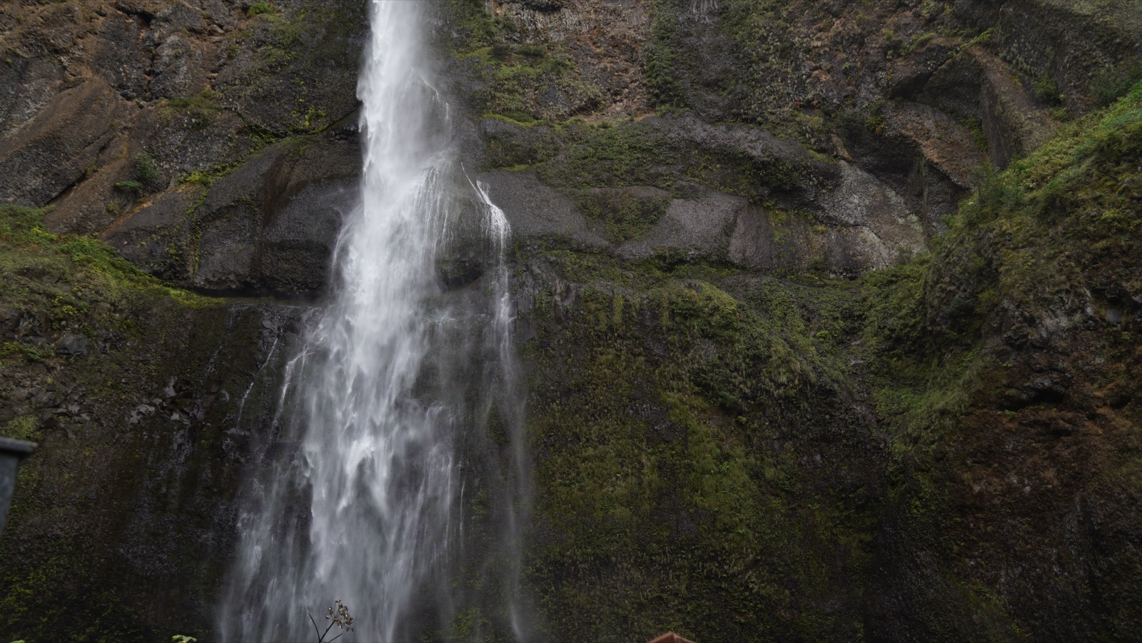
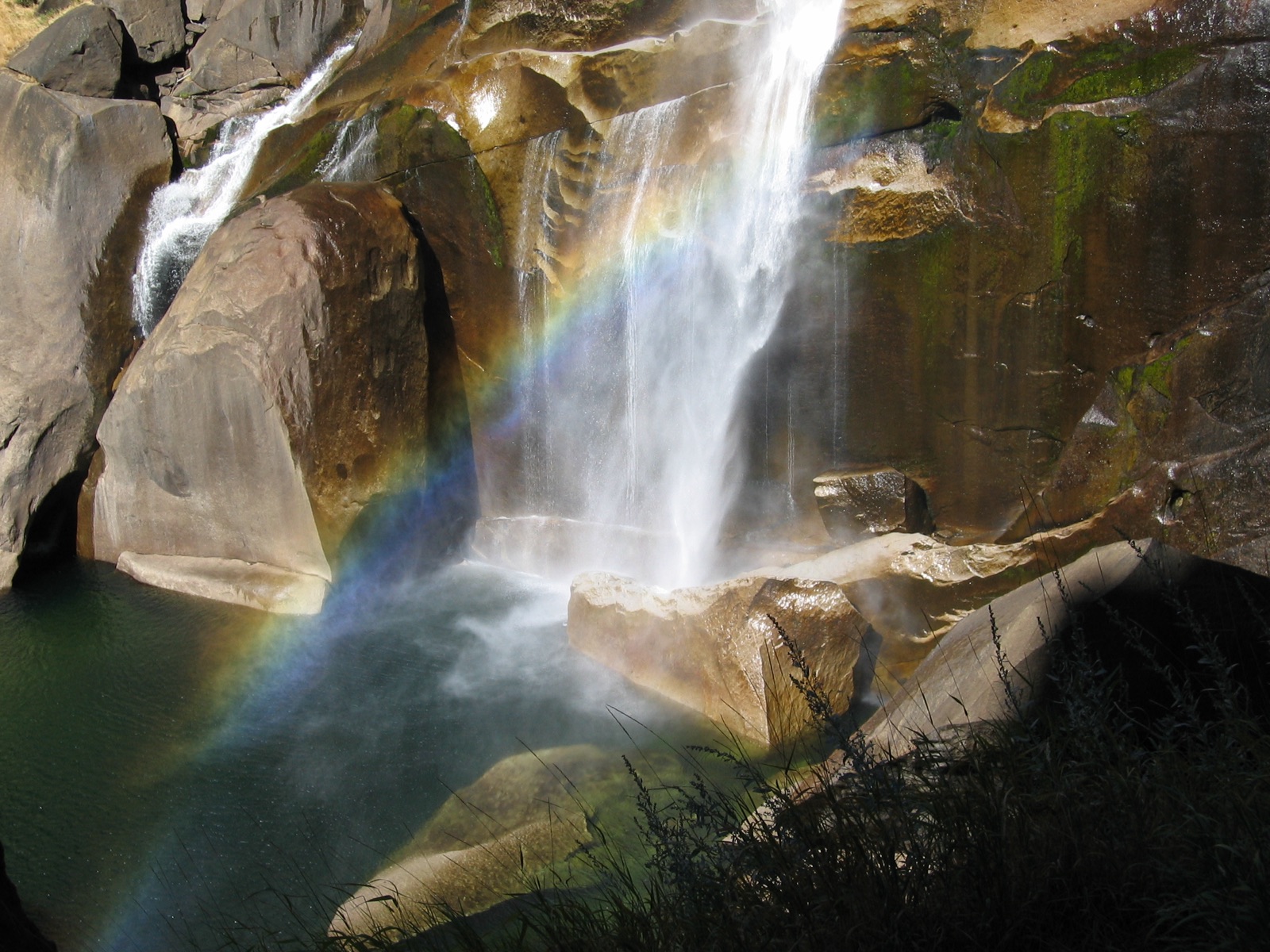
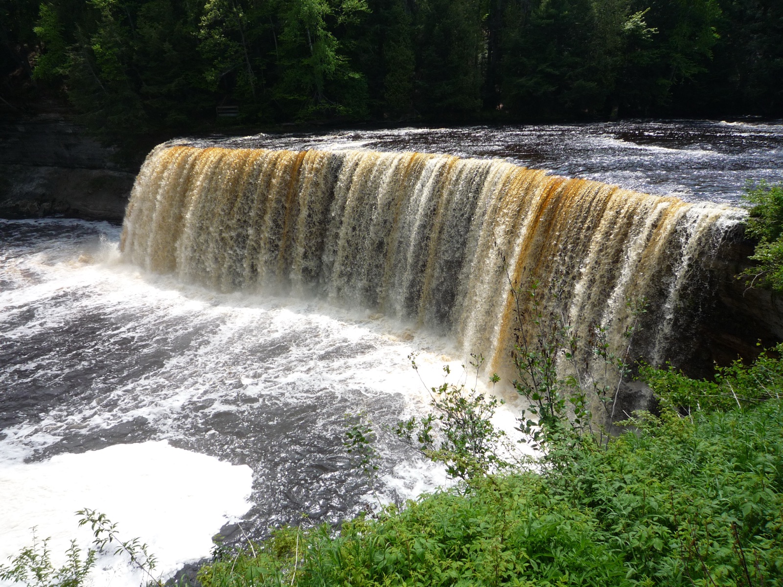
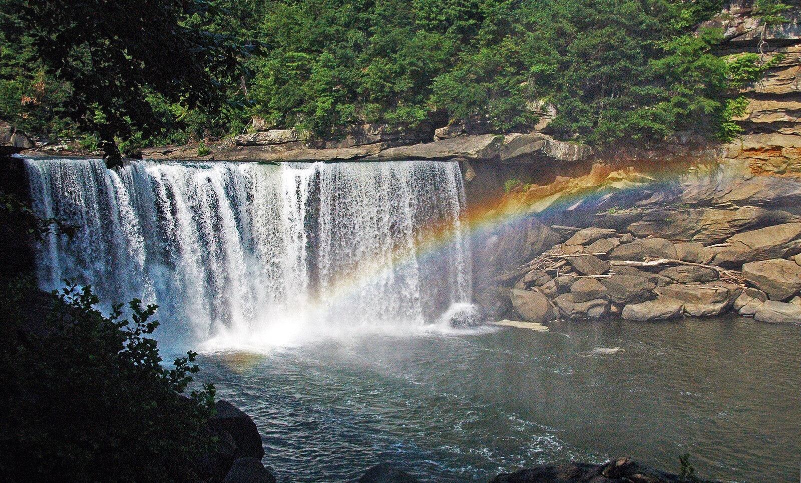
Windows are typical-year climatology from each falls' driver, not forecasts. Live readings and percentile bands are USGS data, public domain; where a page says a river is above or below typical, that comparison is ours and is labelled. Access and safety belong to each falls' managing agency, named on its page. National picture →