Palouse Falls
SnowmeltWashington's official state waterfall: a 200 foot plunge into an Ice Age bowl, huge with spring runoff and honestly skinny by late summer.
Big water: March through mid June
Reading gaugeFull season page →

9 documented waterfalls in Washington, when each one actually runs, and what the river is doing right now where a gauge exists.
Trail status, closures and safety rules belong to each falls' managing agency, named and linked on every page.
Each card carries the typical big-water window drawn from the falls' actual driver, and the latest USGS reading on its feeding river where a gauge exists. The full page for each falls explains the season, shows today against the USGS percentile band, and quotes the managing agency on access.
Washington's official state waterfall: a 200 foot plunge into an Ice Age bowl, huge with spring runoff and honestly skinny by late summer.
A three-tier crowd favorite above Gold Bar with 12 miles of trails along the Wallace River, at full volume through the west-side wet season.
The 168 foot roadside showpiece on the Paradise River at Mount Rainier, loudest as the Paradise snowfields melt out in early summer.
The 60 foot fall framed by a historic stone arch bridge on the road to Paradise, a thirty second stop that peaks with the early summer melt.
One of Rainier's tallest at over 300 feet, earned by a steep 1.9 mile climb that the Park Service says to save until the trail snow has fully melted.
Olympic's postcard falls, where the Sol Duc River splits into parallel channels and drops sideways into a mossy slot, reached by an easy walk through old growth.
A 90 foot ribbon near Lake Crescent and Olympic's most popular short hike, best in the wet months when little Falls Creek is actually carrying water.
The 70 foot family-hike falls just below Snoqualmie Pass, an hour from Seattle, at full volume while the pass snowpack melts out.
A modest ledge drop on the upper Chehalis River inside a 129 acre camping park on the Willapa Hills Trail, best when the winter rains have the river up.
Live readings: USGS Water Services (National Water Information System). Instantaneous values and daily statistics services. U.S. Geological Survey data are works of the United States Government and are in the public domain.
Most of Washington's documented falls run on snowmelt, so they peak when the high country lets go and fade through the summer. The mix here is 5 snowmelt, 4 rain across the 9, and 7 of them have an active USGS gauge on or near the stream.
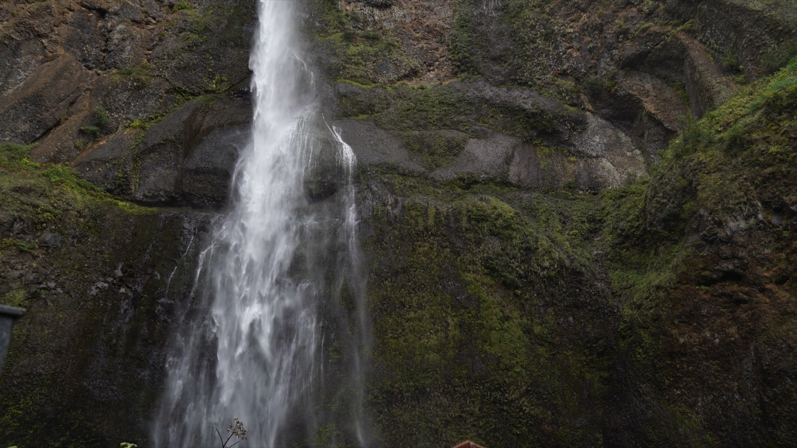
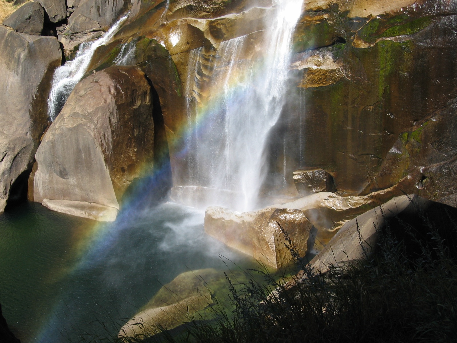
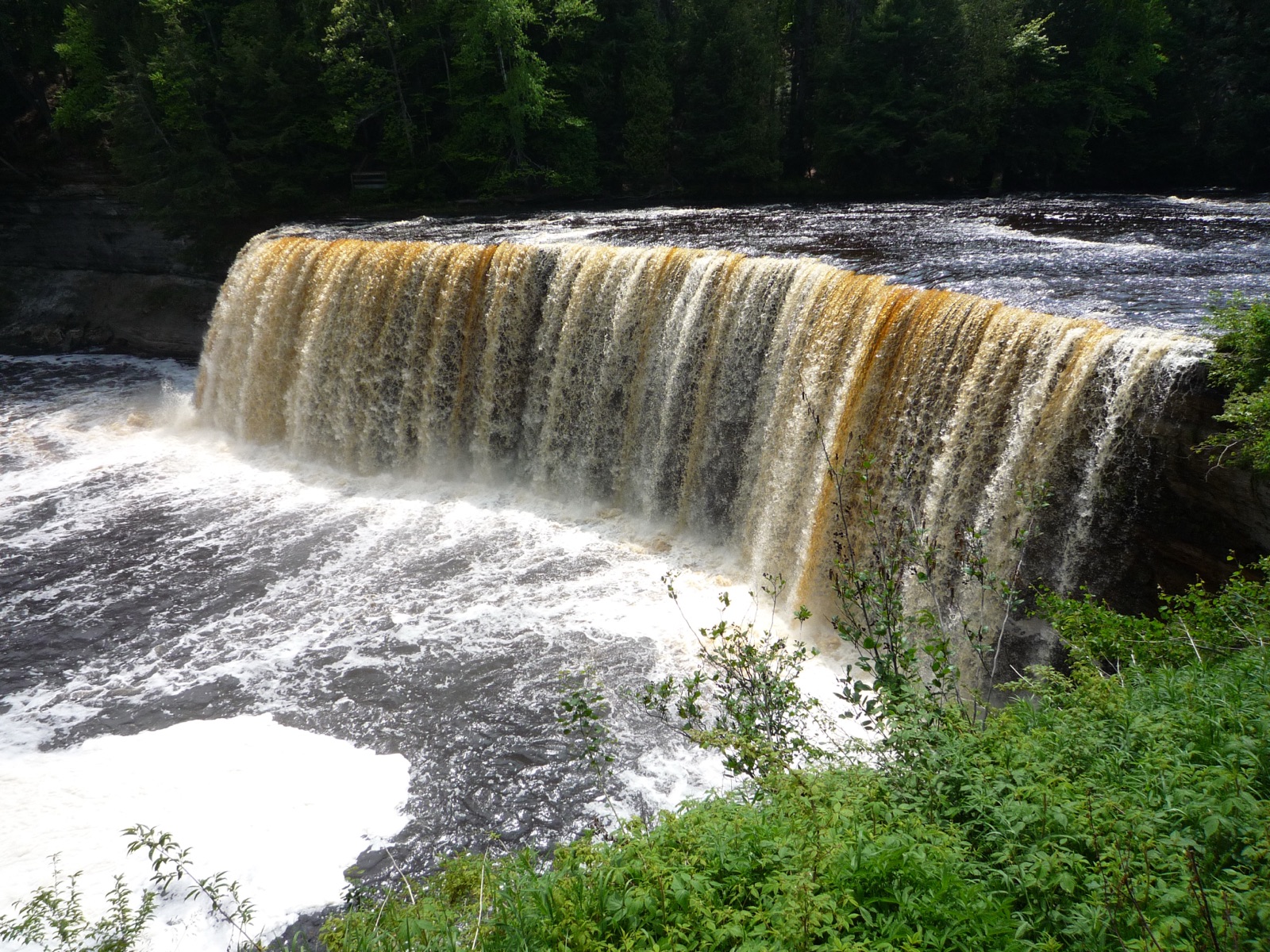
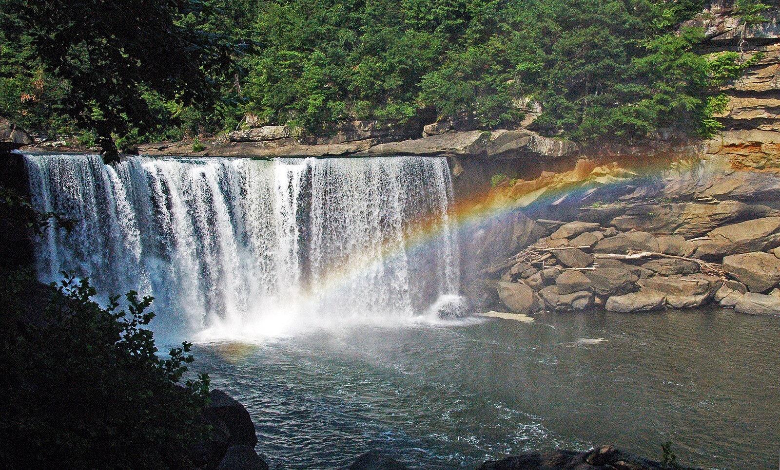
Windows are typical-year climatology from each falls' driver, not forecasts. Live readings and percentile bands are USGS data, public domain; where a page says a river is above or below typical, that comparison is ours and is labelled. Access and safety belong to each falls' managing agency, named on its page. National picture →