Palouse Falls
SnowmeltWashington's official state waterfall: a 200 foot plunge into an Ice Age bowl, huge with spring runoff and honestly skinny by late summer.

One of Rainier's tallest at over 300 feet, earned by a steep 1.9 mile climb that the Park Service says to save until the trail snow has fully melted.
Trail status, closures and safety rules belong to each falls' managing agency, named and linked on every page.
Comet Falls is the payoff of upper Van Trump Creek, and its calendar is squeezed from both ends: the water peaks with the early summer melt, but the Park Service warns the steep trail is treacherous until the snow is completely gone. The practical sweet spot, big water on a safe trail, is mid June through July most years.
Typical best flow: Mid June through July
This tall waterfall is one of the park’s most spectacular, with the highest drop falling over 300 feet.
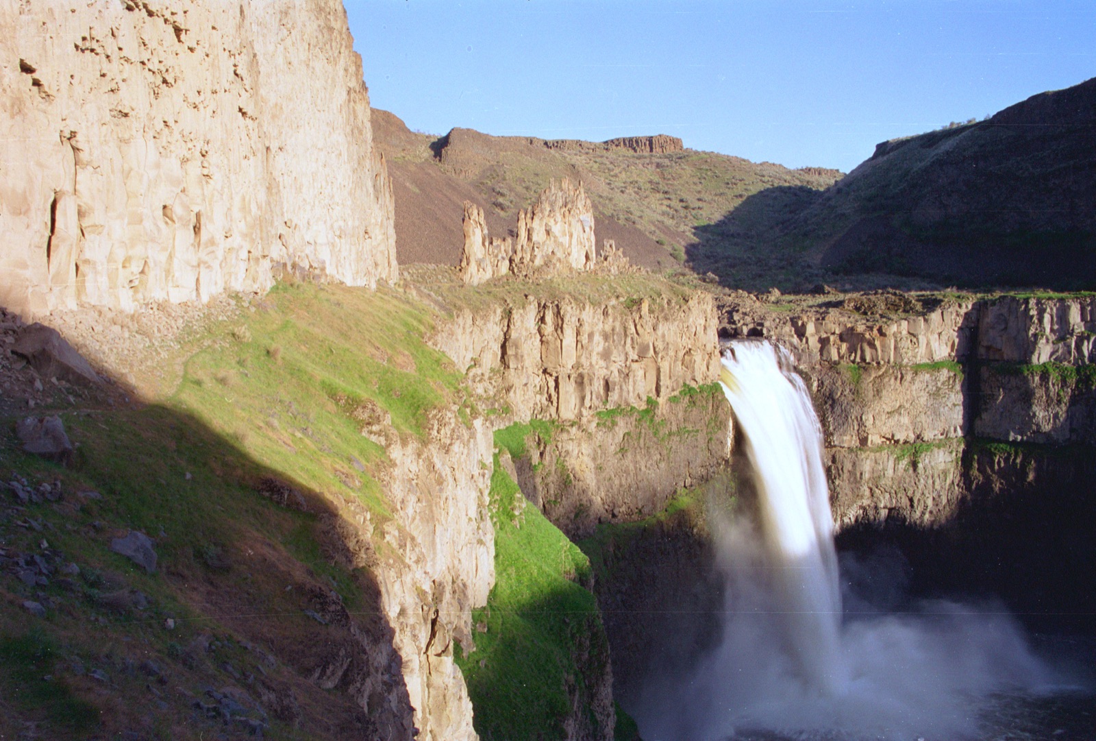
Gauge: USGS 12082500 Nisqually River near National WA, downstream and distant, a basin-level proxy outside the park. The gauge reads the river, not the brink of the falls, so treat it as the trend line rather than a turnstile.
Source: USGS Water Services (National Water Information System). Instantaneous values and daily statistics services. U.S. Geological Survey data are works of the United States Government and are in the public domain. Gauge verified 2026-08-27.
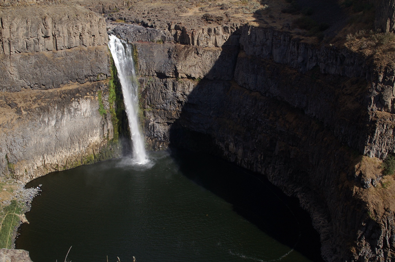
A strenuous 1.9 mile climb gaining 1,200 feet from the trailhead two miles above Cougar Rock Campground on the Paradise road. The Park Service's advice is explicit: wait until the snow has completely melted from the trail.
Current access and closures: Mount Rainier National Park (National Park Service).
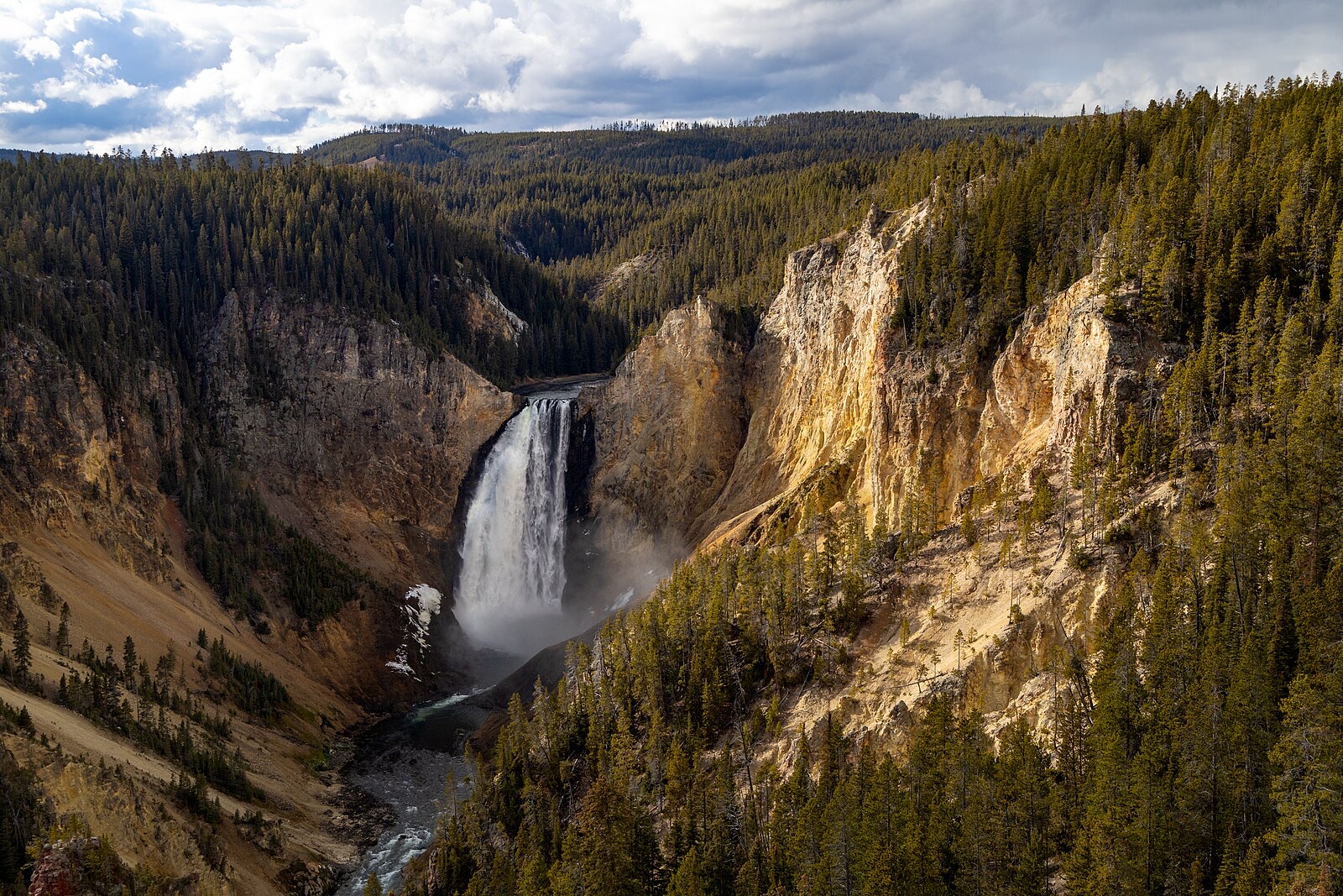

Washington's official state waterfall: a 200 foot plunge into an Ice Age bowl, huge with spring runoff and honestly skinny by late summer.
A three-tier crowd favorite above Gold Bar with 12 miles of trails along the Wallace River, at full volume through the west-side wet season.
The 168 foot roadside showpiece on the Paradise River at Mount Rainier, loudest as the Paradise snowfields melt out in early summer.
The 60 foot fall framed by a historic stone arch bridge on the road to Paradise, a thirty second stop that peaks with the early summer melt.
Make a trip of it
Things to doGuided trips and experiences from local operators.
Browse on Viator Places to stay
Vacation rentals and cabins close to the water.
Browse on VrboWe may earn a commission on bookings made through these links.
Flow windows are typical-year climatology drawn from the driver and the agency language quoted above, not forecasts. Live readings and per-date percentiles are U.S. Geological Survey data, public domain; the above-or-below-typical line is our comparison and is labelled as such. Access, trail and safety information belongs to Mount Rainier National Park (National Park Service). National picture: waterfall season across the US →
Hero image: “Afternoon fall light on Lower Falls from Lookout Point (54937071695)” — YellowstoneNPS — Public domain