Rifle Falls
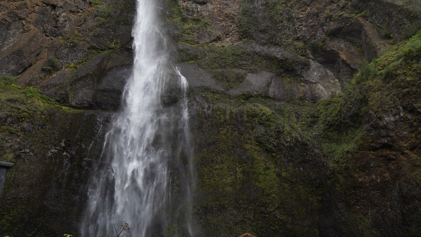
Spring fedThree side by side 60 foot falls pouring over a travertine dam on a limestone creek, with walk-in caves behind them; Colorado's most dependable waterfall.
No gauge, climatology onlyFull season page →

5 documented waterfalls in Colorado, when each one actually runs, and what the river is doing right now where a gauge exists.
Trail status, closures and safety rules belong to each falls' managing agency, named and linked on every page.
Each card carries the typical big-water window drawn from the falls' actual driver, and the latest USGS reading on its feeding river where a gauge exists. The full page for each falls explains the season, shows today against the USGS percentile band, and quotes the managing agency on access.
Three side by side 60 foot falls pouring over a travertine dam on a limestone creek, with walk-in caves behind them; Colorado's most dependable waterfall.
A turquoise travertine lake suspended in Glenwood Canyon, fed by Bridal Veil Falls and guarded by a year round permit system and a famously steep mile.
A 100 foot ribbon at the foot of Wolf Creek Pass, one of Colorado's snowiest corners, reached by a short interpretive trail right off US 160.
Colorado Springs' in-town canyon falls in North Cheyenne Canon Park, with a visitor center at its base and a short climb to Silver Cascade Falls above.
A 25 foot falls hidden inside a slot-like rock crevice near Great Sand Dunes, reached by fording the creek, and frozen into an ice column all winter.
Live readings: USGS Water Services (National Water Information System). Instantaneous values and daily statistics services. U.S. Geological Survey data are works of the United States Government and are in the public domain.
Most of Colorado's documented falls run on snowmelt, so they peak when the high country lets go and fade through the summer. The mix here is 3 snowmelt, 2 spring across the 5, and 1 of them have an active USGS gauge on or near the stream.
Windows are typical-year climatology from each falls' driver, not forecasts. Live readings and percentile bands are USGS data, public domain; where a page says a river is above or below typical, that comparison is ours and is labelled. Access and safety belong to each falls' managing agency, named on its page. National picture →