Rifle Falls
Spring fedThree side by side 60 foot falls pouring over a travertine dam on a limestone creek, with walk-in caves behind them; Colorado's most dependable waterfall.

A turquoise travertine lake suspended in Glenwood Canyon, fed by Bridal Veil Falls and guarded by a year round permit system and a famously steep mile.
Trail status, closures and safety rules belong to each falls' managing agency, named and linked on every page.
The Forest Service describes the mechanism exactly: a geological fault left a travertine deposition, and Bridal Veil Falls feeds the lake while depositing the minerals that give it its vibrant color. Mineral-rich groundwater systems like this run steadily year round, with spring adding volume; Spouting Rock, two hundred feet above the lake, gushes straight out of the cliff face. The site is open year round, weather dependent, with permits priced by season.
Hanging Lake is a National Natural Landmark in Glenwood Canyon, Colorado. It was formed by a geological fault, leaving a travertine deposition that resulted in a stunning turquoise lake suspended in the canyon. The lake is fed by Bridal Veil Falls, which deposits minerals that give the water its vibrant color.
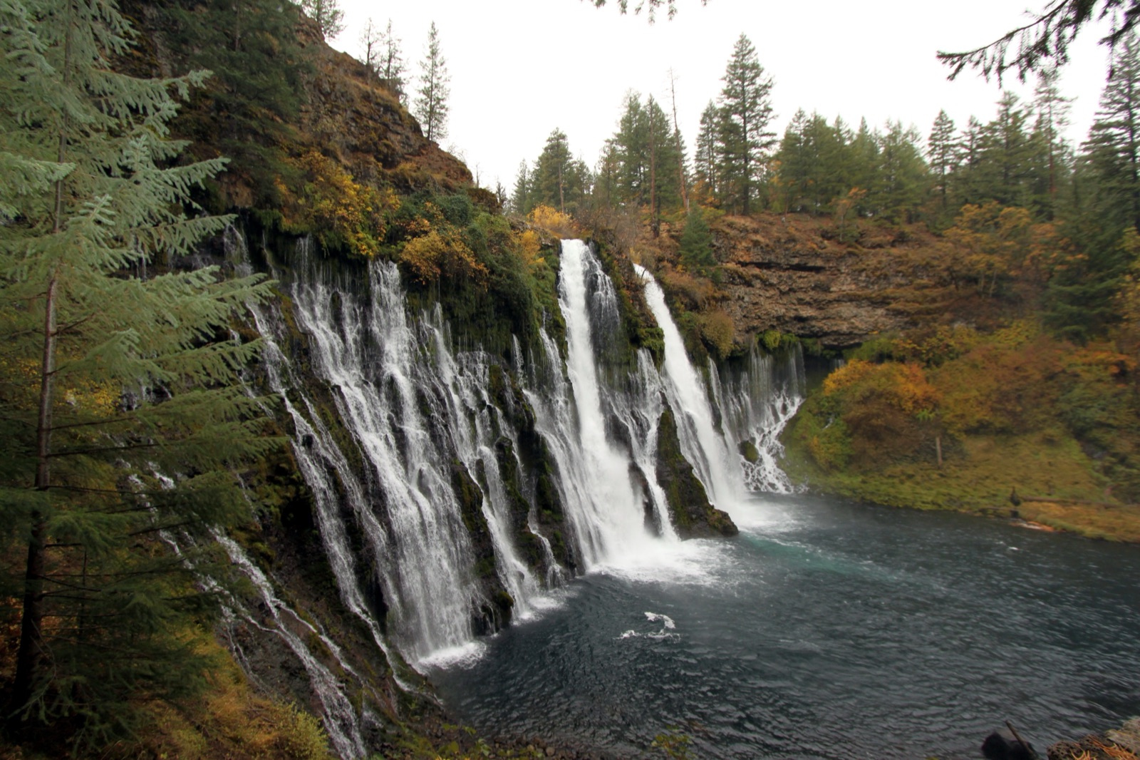

A time-specific reservation is required for every visitor, per the Forest Service, at $12 per person from April 30 to October 31 and $10 in winter, booked through the city of Glenwood Springs. The trail climbs 1,200 feet in 1.2 miles over seven bridges; no dogs, no swimming, no fishing, no drones.
Current access and closures: White River National Forest (US Forest Service).
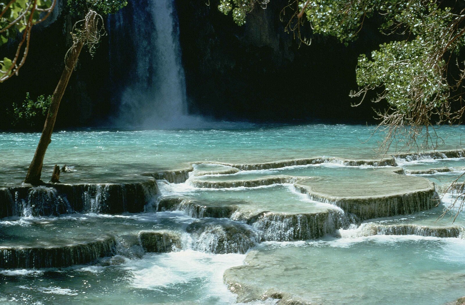

Three side by side 60 foot falls pouring over a travertine dam on a limestone creek, with walk-in caves behind them; Colorado's most dependable waterfall.
A 100 foot ribbon at the foot of Wolf Creek Pass, one of Colorado's snowiest corners, reached by a short interpretive trail right off US 160.
Colorado Springs' in-town canyon falls in North Cheyenne Canon Park, with a visitor center at its base and a short climb to Silver Cascade Falls above.
A 25 foot falls hidden inside a slot-like rock crevice near Great Sand Dunes, reached by fording the creek, and frozen into an ice column all winter.
Make a trip of it
Things to doGuided trips and experiences from local operators.
Browse on Viator Places to stay
Vacation rentals and cabins close to the water.
Browse on VrboWe may earn a commission on bookings made through these links.
Flow windows are typical-year climatology drawn from the driver and the agency language quoted above, not forecasts. Live readings and per-date percentiles are U.S. Geological Survey data, public domain; the above-or-below-typical line is our comparison and is labelled as such. Access, trail and safety information belongs to White River National Forest (US Forest Service). National picture: waterfall season across the US →
Hero image: “Havasu falls Arizona” — Stolz Gary M, U.S. Fish and Wildlife Service — Public domain