Rifle Falls
Spring fedThree side by side 60 foot falls pouring over a travertine dam on a limestone creek, with walk-in caves behind them; Colorado's most dependable waterfall.

A 25 foot falls hidden inside a slot-like rock crevice near Great Sand Dunes, reached by fording the creek, and frozen into an ice column all winter.
Trail status, closures and safety rules belong to each falls' managing agency, named and linked on every page.
South Zapata Creek carries Sangre de Cristo snowmelt, and the BLM's own page draws the seasonal contrast: a cooling oasis in summer, an enormous frozen column for experienced ice climbers in winter. The biggest water pushes through the crevice from May to mid July, which is also when the required creek ford is coldest and swiftest.
Typical best flow: May through mid July
During the summer months, the falls provide a cooling oasis, but during the winter months, the waterfall freezes into an enormous column of ice, perfect for the experienced ice climber.

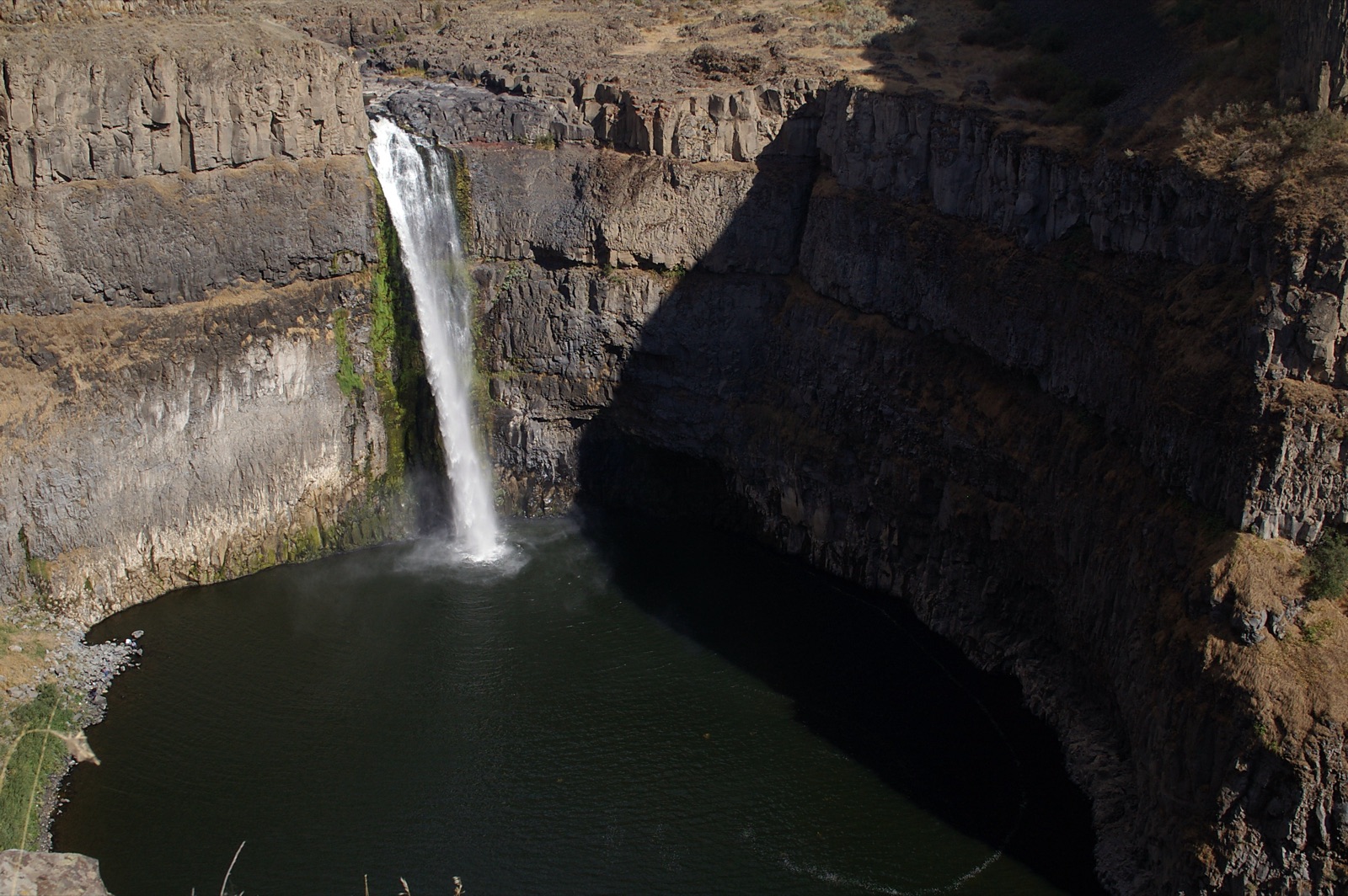
The BLM describes a mildly steep half mile hike, after which viewing the falls requires fording the stream and climbing rocks inside the crevice. Day use is free; a 24 site campground above the trailhead overlooks the San Luis Valley. Black swifts nest at the falls, one of few known Colorado breeding sites, per the BLM.
Current access and closures: Bureau of Land Management, San Luis Valley Field Office.
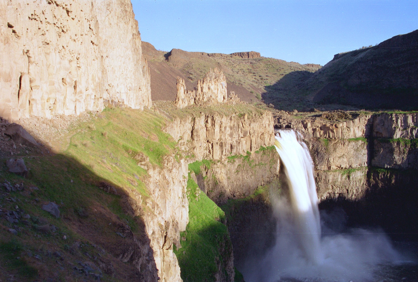

Three side by side 60 foot falls pouring over a travertine dam on a limestone creek, with walk-in caves behind them; Colorado's most dependable waterfall.
A turquoise travertine lake suspended in Glenwood Canyon, fed by Bridal Veil Falls and guarded by a year round permit system and a famously steep mile.
A 100 foot ribbon at the foot of Wolf Creek Pass, one of Colorado's snowiest corners, reached by a short interpretive trail right off US 160.
Colorado Springs' in-town canyon falls in North Cheyenne Canon Park, with a visitor center at its base and a short climb to Silver Cascade Falls above.
Make a trip of it
Things to doGuided trips and experiences from local operators.
Browse on Viator Places to stay
Vacation rentals and cabins close to the water.
Browse on VrboWe may earn a commission on bookings made through these links.
Flow windows are typical-year climatology drawn from the driver and the agency language quoted above, not forecasts. Live readings and per-date percentiles are U.S. Geological Survey data, public domain; the above-or-below-typical line is our comparison and is labelled as such. Access, trail and safety information belongs to Bureau of Land Management, San Luis Valley Field Office. National picture: waterfall season across the US →
Hero image: “04-15-14-palouse” — Dsdugan — CC0