Multnomah Falls
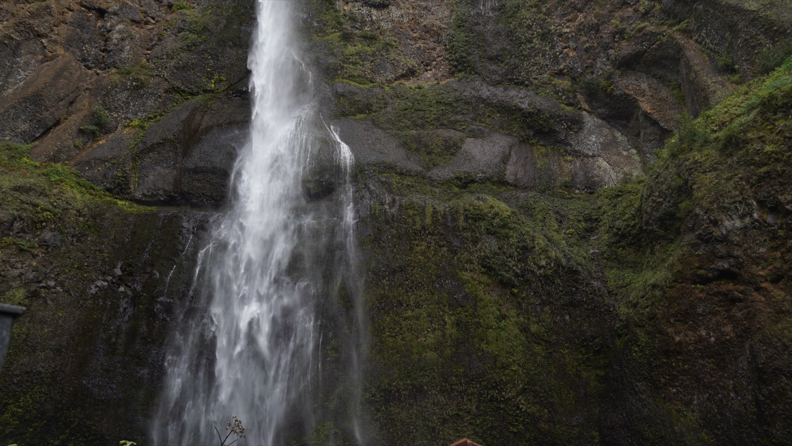
Spring fedOregon's 620 foot signature falls and the Northwest's most visited natural site: spring-fed enough to run all year, biggest through winter and spring.
8 documented waterfalls in Oregon, when each one actually runs, and what the river is doing right now where a gauge exists.
Trail status, closures and safety rules belong to each falls' managing agency, named and linked on every page.
Each card carries the typical big-water window drawn from the falls' actual driver, and the latest USGS reading on its feeding river where a gauge exists. The full page for each falls explains the season, shows today against the USGS percentile band, and quotes the managing agency on access.
Oregon's 620 foot signature falls and the Northwest's most visited natural site: spring-fed enough to run all year, biggest through winter and spring.
A 224 foot single plunge over lichen-splashed columnar basalt in the western Columbia Gorge, minutes from the historic highway and at its best in the wet half of the year.
The 177 foot curtain you can walk behind, headliner of Silver Falls State Park's Trail of Ten Falls and the centerpiece of Oregon's largest state park.
A two-tier plunge over a wall of columnar basalt on the North Umpqua, with flow smoothed year round by the hydroelectric diversion whose wooden pipe lines the access road.
Oregon's second highest single drop at 286 feet, an easy 50 yards from the parking lot in summer and a snowshoe destination when the observation site closes for winter.
Bend's backyard falls on Tumalo Creek, a few minutes' walk from the trailhead and busiest exactly when the snowmelt has it thundering.
A 200 foot class cascade spreading like lace over a mossy wall in the Three Sisters Wilderness, reachable only while the McKenzie Highway is open.
A 90 foot plunge over a basalt shelf in the dry country east of Mount Hood, with the ruins of a 1910 powerhouse at its base and the biggest water in the melt months.
Live readings: USGS Water Services (National Water Information System). Instantaneous values and daily statistics services. U.S. Geological Survey data are works of the United States Government and are in the public domain.
Most of Oregon's documented falls run on snowmelt, so they peak when the high country lets go and fade through the summer. The mix here is 3 snowmelt, 2 spring, 2 rain, 1 regulated across the 8, and 1 of them have an active USGS gauge on or near the stream.


Windows are typical-year climatology from each falls' driver, not forecasts. Live readings and percentile bands are USGS data, public domain; where a page says a river is above or below typical, that comparison is ours and is labelled. Access and safety belong to each falls' managing agency, named on its page. National picture →