Multnomah Falls
Spring fedOregon's 620 foot signature falls and the Northwest's most visited natural site: spring-fed enough to run all year, biggest through winter and spring.

A 200 foot class cascade spreading like lace over a mossy wall in the Three Sisters Wilderness, reachable only while the McKenzie Highway is open.
Trail status, closures and safety rules belong to each falls' managing agency, named and linked on every page.
Proxy Creek is widely described as spring-fed off the young lava aquifers of the McKenzie country, which would explain why the falls photographs full even in autumn; the Forest Service page does not say so, so treat that spring-fed label as ours, not theirs. What the agency does say is decisive for planning: the access road, Highway 242, closes in winter, so the practical season is roughly early summer to the first snow.
Access is dependent on McKenzie Highway (OR Hwy 242), which is closed in the winter.

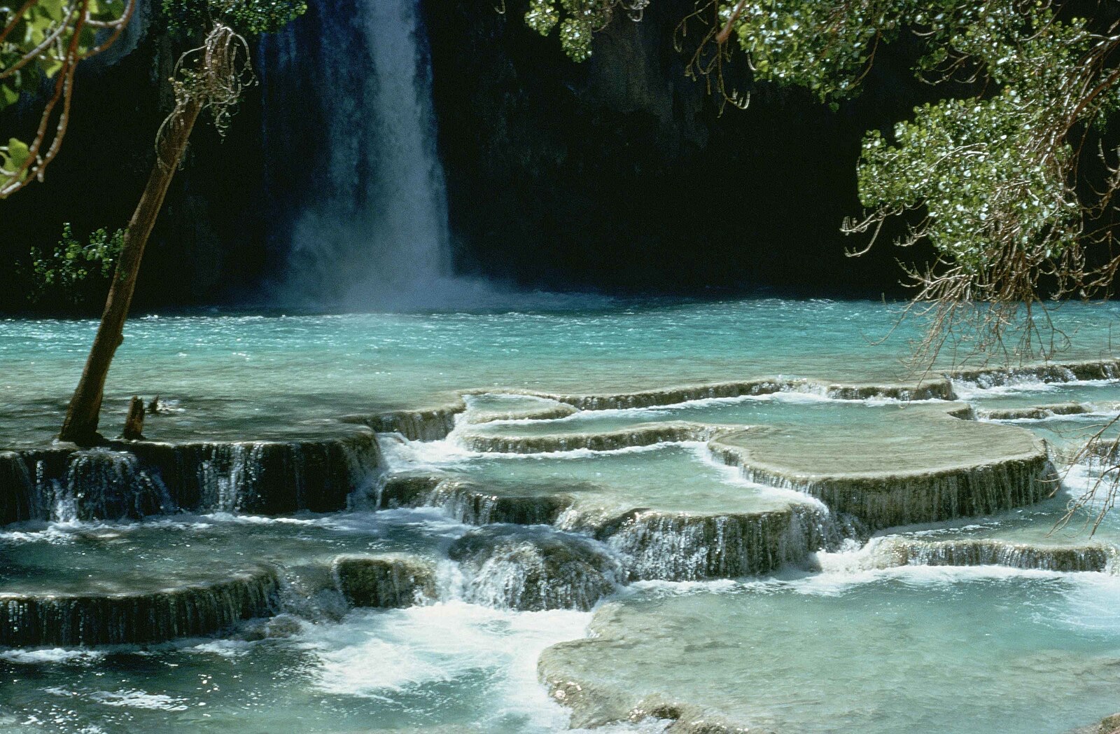
The loop trail enters the Three Sisters Wilderness immediately, and the Forest Service requires two permits between June 15 and October 15: a free self-issue wilderness permit at the trailhead and a recreation pass to park.
Current access and closures: Willamette National Forest (US Forest Service).

Oregon's 620 foot signature falls and the Northwest's most visited natural site: spring-fed enough to run all year, biggest through winter and spring.
A 224 foot single plunge over lichen-splashed columnar basalt in the western Columbia Gorge, minutes from the historic highway and at its best in the wet half of the year.
The 177 foot curtain you can walk behind, headliner of Silver Falls State Park's Trail of Ten Falls and the centerpiece of Oregon's largest state park.
A two-tier plunge over a wall of columnar basalt on the North Umpqua, with flow smoothed year round by the hydroelectric diversion whose wooden pipe lines the access road.
Make a trip of it
Things to doGuided trips and experiences from local operators.
Browse on Viator Places to stay
Vacation rentals and cabins close to the water.
Browse on VrboWe may earn a commission on bookings made through these links.
Flow windows are typical-year climatology drawn from the driver and the agency language quoted above, not forecasts. Live readings and per-date percentiles are U.S. Geological Survey data, public domain; the above-or-below-typical line is our comparison and is labelled as such. Access, trail and safety information belongs to Willamette National Forest (US Forest Service). National picture: waterfall season across the US →
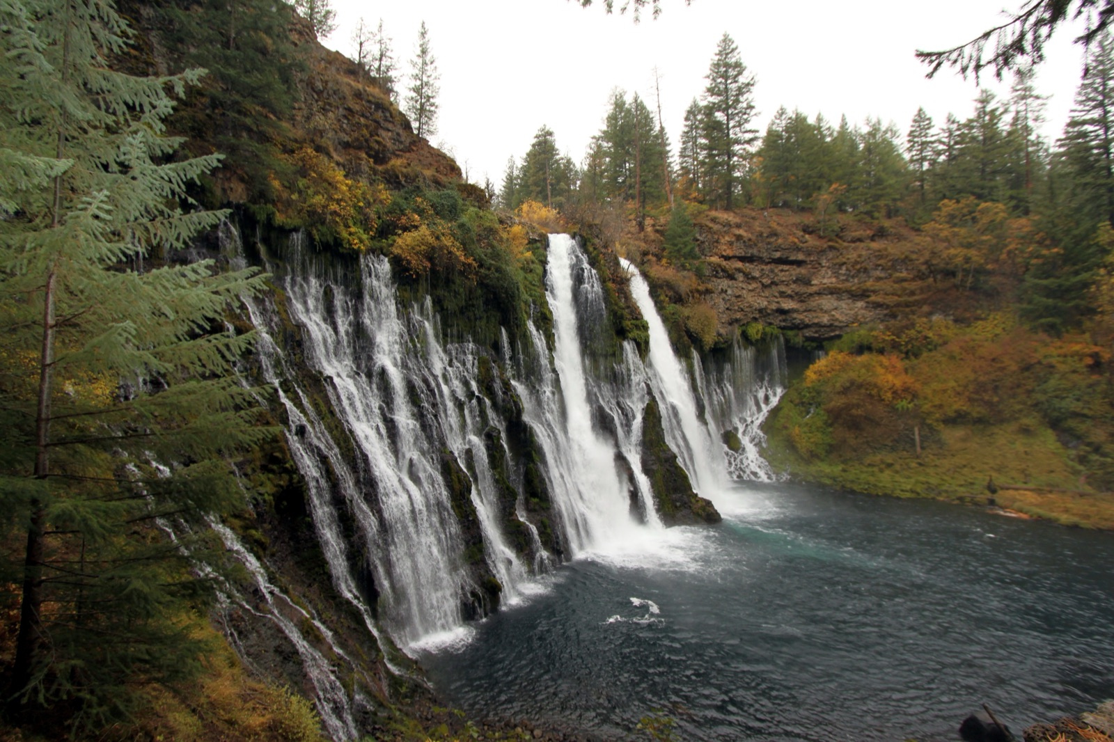
Hero image: “Burney Falls (6489840799)” by Prayitno / Thank you for (9 millions +) views from Los Angeles, USA, CC BY 2.0