Skip to content
Waterfall season · Minnesota

When Minnesota Waterfalls Actually Flow

5 documented waterfalls in Minnesota, when each one actually runs, and what the river is doing right now where a gauge exists.

5
Falls documented
each with its agency cited
2
Read live
USGS gauges on the feeding rivers
Snowmelt, Rain fed
What drives them
the season follows the driver
None
In window today
check the live readings instead

Trail status, closures and safety rules belong to each falls' managing agency, named and linked on every page.

Falls by falls

The Minnesota falls, their windows, and their rivers

Each card carries the typical big-water window drawn from the falls' actual driver, and the latest USGS reading on its feeding river where a gauge exists. The full page for each falls explains the season, shows today against the USGS percentile band, and quotes the managing agency on access.

Gooseberry Falls

Snowmelt

The gateway falls of Minnesota's North Shore: Upper, Middle and Lower Falls stacked through a basalt gorge, roaring at melt and flashing with every storm.

Big water: April through mid June
No gauge, climatology onlyFull season page →
High Falls of the Baptism River

Snowmelt

The 60 foot centerpiece of Tettegouche State Park, the tallest falls entirely inside Minnesota, on a short steep river that lives and dies with the weather.

Big water: April through mid June
No gauge, climatology onlyFull season page →
Minnehaha Falls

Rain fed

Longfellow's 53 foot city waterfall in Minneapolis, swinging between spring torrent, drought-summer trickle and celebrated frozen curtain, with a gauge a few hundred yards upstream.

Big water: Mid March through June

High Falls of the Pigeon River

Snowmelt

Minnesota's tallest waterfall, 120 feet of border-straddling wild water on the Pigeon River, in a state park run cooperatively with the Grand Portage Band.

Big water: April through mid June

Minneopa Falls

Rain fed

The double falls of southern Minnesota, water falling twice in Dakota, in the state's third oldest park, sharing the prairie with a bison herd.

Big water: Mid March through mid June
No gauge, climatology onlyFull season page →
Live readings: USGS Water Services (National Water Information System). Instantaneous values and daily statistics services. U.S. Geological Survey data are works of the United States Government and are in the public domain.

Advertisement
The pattern

Why Minnesota falls peak when they do

Most of Minnesota's documented falls run on snowmelt, so they peak when the high country lets go and fade through the summer. The mix here is 3 snowmelt, 2 rain across the 5, and 2 of them have an active USGS gauge on or near the stream.

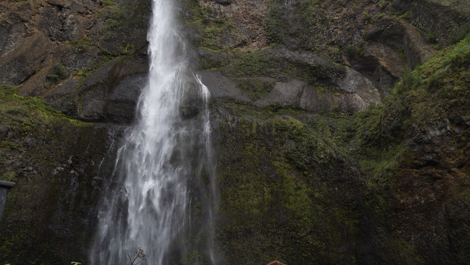
The upper tier of Multnomah Falls pouring down a mossy basalt wall
Multnomah Falls up close. The Columbia Gorge wall seeps enough groundwater to keep its falls alive all year, but the difference between February thunder and September lace is still the whole show. “20190923-MountHood-CMR-0235 (48871760966)” — Forest Service, USDA — Public domain
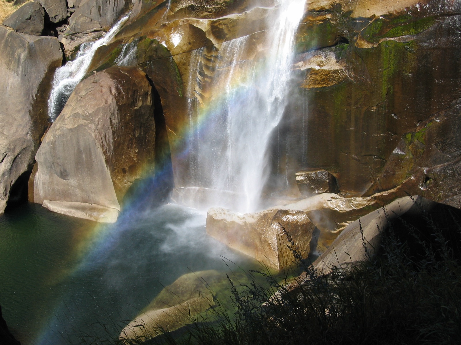
Vernal Fall with a rainbow in its mist, photographed from the Mist Trail side
Vernal Fall wearing a rainbow. By late summer the wide spring curtain narrows to threads; the National Park Service photographs it in both moods, and a flow calendar needs both. “Rainbow in the mist of Vernal Falls in Yosemite National Park. NPS-Madelyn Carpenter (18497149938)” — NPS Natural Resources — Public domain
Common questions

Minnesota waterfall season FAQ

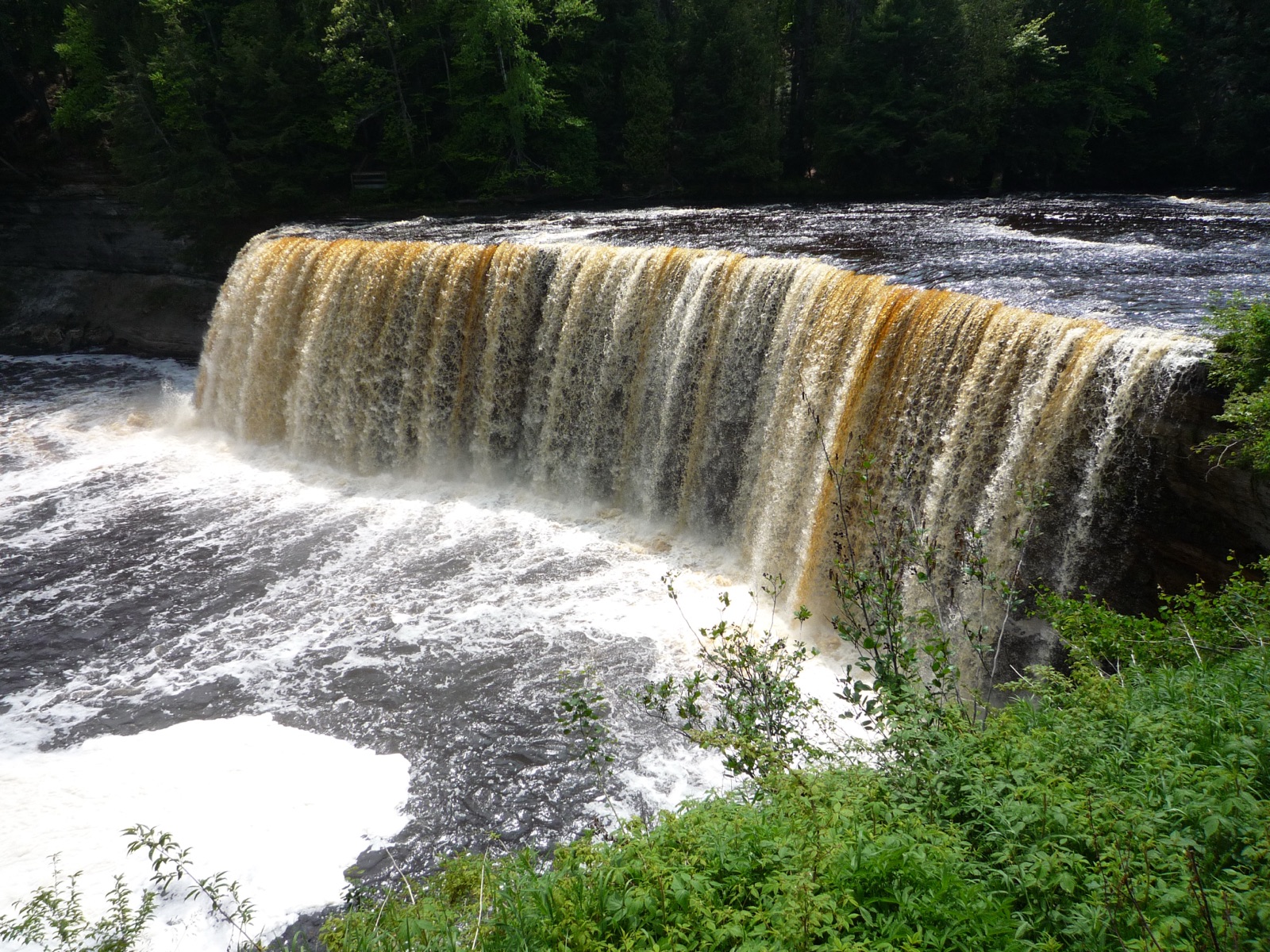
Tahquamenon Falls pouring a wide amber curtain over a sandstone ledge between green banks
Tahquamenon Falls running amber with bog tannin. Fifty thousand gallons a second at spring peak, and still one of the most reliable big falls east of the Mississippi the rest of the year. “2009-0618-TahquamenonFalls” by Bobak Ha'Eri, CC BY 3.0
Wider view

Beyond Minnesota

Other Midwest states with documented falls

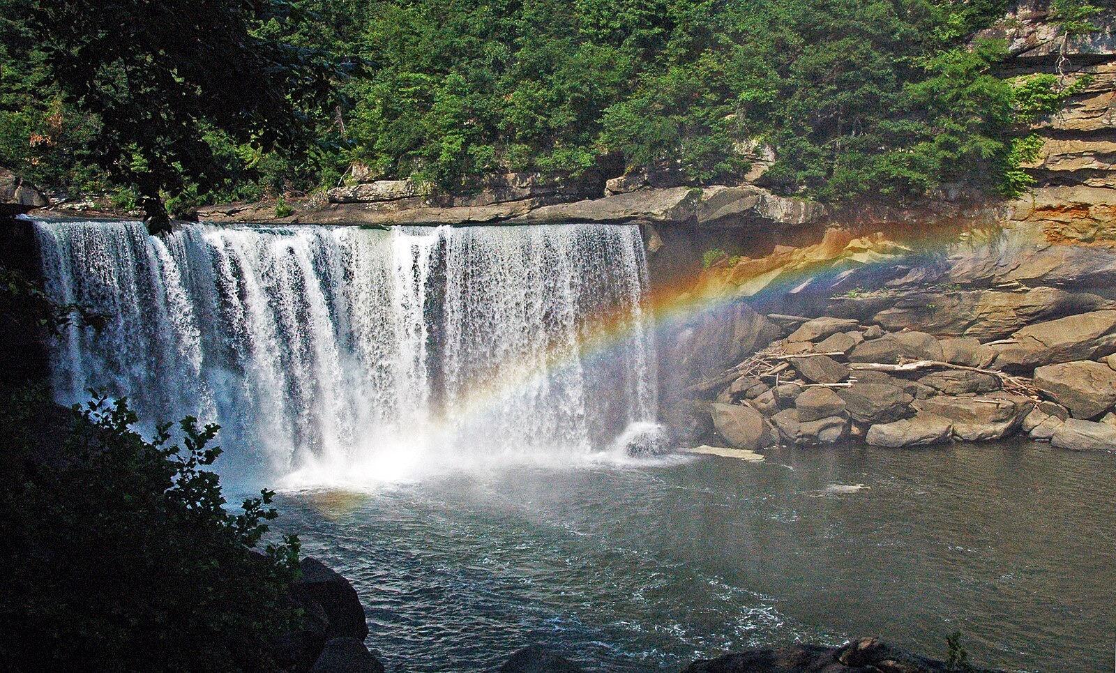
Cumberland Falls dropping a full curtain with a rainbow standing in the mist at its base
Cumberland Falls, the Niagara of the South, throwing a daytime rainbow. On bright full moon nights the same mist carries a moonbow, one of the few reliably visible in the western hemisphere. “Cumberland Falls rainbow” by James St. John, CC BY 2.0
Advertisement

Windows are typical-year climatology from each falls' driver, not forecasts. Live readings and percentile bands are USGS data, public domain; where a page says a river is above or below typical, that comparison is ours and is labelled. Access and safety belong to each falls' managing agency, named on its page. National picture →