Multnomah Falls
Spring fedOregon's 620 foot signature falls and the Northwest's most visited natural site: spring-fed enough to run all year, biggest through winter and spring.

Bend's backyard falls on Tumalo Creek, a few minutes' walk from the trailhead and busiest exactly when the snowmelt has it thundering.
Trail status, closures and safety rules belong to each falls' managing agency, named and linked on every page.
Tumalo Creek drains the east slope of the Cascades above Bend, and the falls follows the melt: heavy from May into July, then easing through the dry central Oregon summer. Our snowmelt classification is editorial; the Forest Service page covers access and the municipal watershed rules rather than flow.
Typical best flow: May through mid July
This very popular site offers beautiful views of Tumalo Falls just a few minutes from the trailhead. There are areas for picnicking and access to hiking and mountain biking trails.

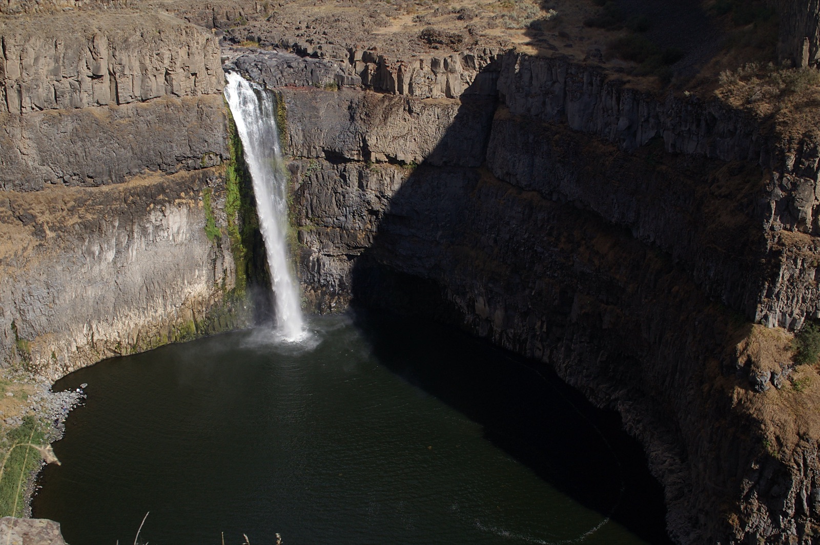
The Forest Service flags very limited parking with a 27 foot vehicle length limit, and notes the lot fills early and can stay at overflow on busy days; a recreation pass is required. Stock, dogs, bikes and camping are prohibited inside the Bend Municipal Watershed that the falls sits in.
Current access and closures: Deschutes National Forest (US Forest Service).
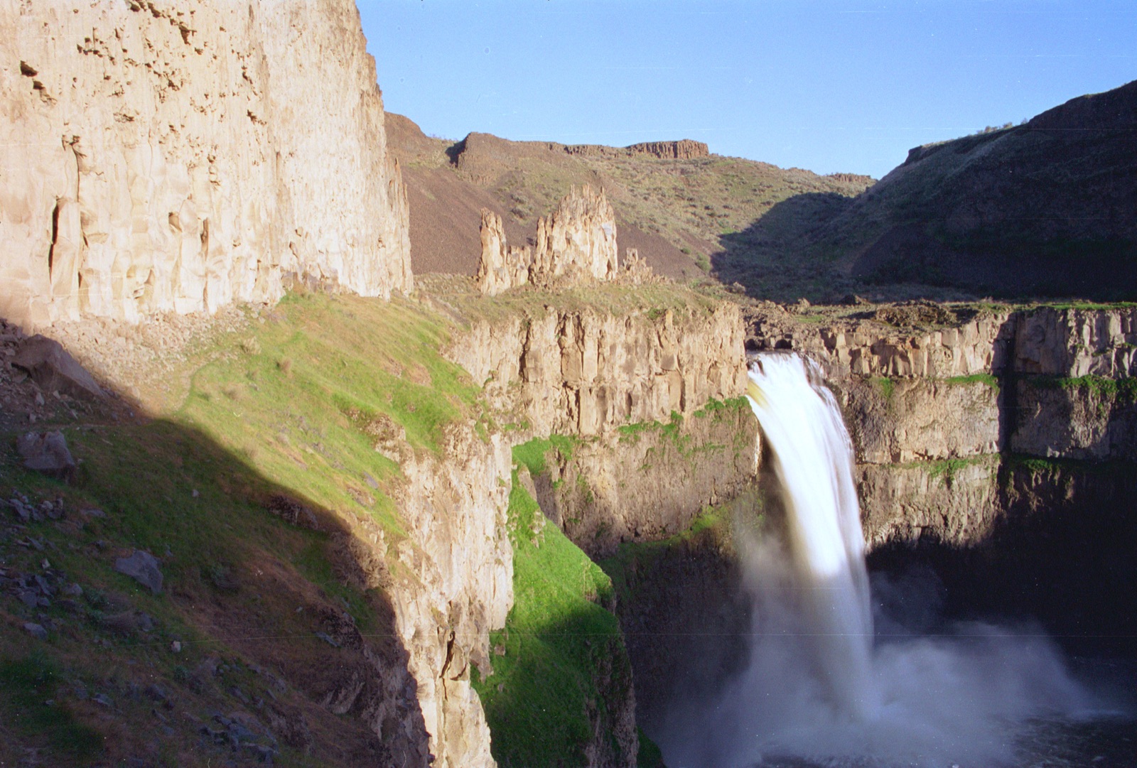

Oregon's 620 foot signature falls and the Northwest's most visited natural site: spring-fed enough to run all year, biggest through winter and spring.
A 224 foot single plunge over lichen-splashed columnar basalt in the western Columbia Gorge, minutes from the historic highway and at its best in the wet half of the year.
The 177 foot curtain you can walk behind, headliner of Silver Falls State Park's Trail of Ten Falls and the centerpiece of Oregon's largest state park.
A two-tier plunge over a wall of columnar basalt on the North Umpqua, with flow smoothed year round by the hydroelectric diversion whose wooden pipe lines the access road.
Make a trip of it
Things to doGuided trips and experiences from local operators.
Browse on Viator Places to stay
Vacation rentals and cabins close to the water.
Browse on VrboWe may earn a commission on bookings made through these links.
Flow windows are typical-year climatology drawn from the driver and the agency language quoted above, not forecasts. Live readings and per-date percentiles are U.S. Geological Survey data, public domain; the above-or-below-typical line is our comparison and is labelled as such. Access, trail and safety information belongs to Deschutes National Forest (US Forest Service). National picture: waterfall season across the US →
Hero image: “04-15-14-palouse” — Dsdugan — CC0