Arethusa Falls
SnowmeltCrawford Notch's marquee hike to New Hampshire's grandest single drop, on a brook that rides the White Mountains melt and rewards a spring visit.

A 66 foot plunge on the Ellis River draining Mount Washington's southeast flank, reached by a CCC-built stone stairway off Pinkham Notch.
Trail status, closures and safety rules belong to each falls' managing agency, named and linked on every page.
The Ellis carries Presidential Range snowmelt, so mid April through June is the crash; by fall the river relaxes and the stone viewing steps become the star. The Forest Service maintains the site year round with a fee, and winter access means ice on those historic stairs.
Typical best flow: Mid April through June
offers a short hike to a dramatic 66 foot waterfall
Gauge: USGS 010642505 Saco River at River Street at Bartlett NH, on the receiving Saco River downstream of the Ellis confluence, a basin-level proxy. The gauge reads the river, not the brink of the falls, so treat it as the trend line rather than a turnstile.
Source: USGS Water Services (National Water Information System). Instantaneous values and daily statistics services. U.S. Geological Survey data are works of the United States Government and are in the public domain. Gauge verified 2026-08-27.
A short walk under Route 16 and down stone steps reaches the falls, per the Forest Service's scenic area page; check the forest's current alerts, which have periodically closed the scenic area for work.
Current access and closures: White Mountain National Forest (US Forest Service).

Crawford Notch's marquee hike to New Hampshire's grandest single drop, on a brook that rides the White Mountains melt and rewards a spring visit.
The Kancamagus Highway's essential stop: a flume-and-pool cascade reached by an easy graded path, with swimming flatly prohibited in its narrow chute.
Franconia Notch's granite slot canyon with 45 foot Avalanche Falls sweeping spray across the boardwalk, open by ticket from spring to late fall.
Make a trip of it
Things to doGuided trips and experiences from local operators.
Browse on Viator Places to stay
Vacation rentals and cabins close to the water.
Browse on VrboWe may earn a commission on bookings made through these links.
Flow windows are typical-year climatology drawn from the driver and the agency language quoted above, not forecasts. Live readings and per-date percentiles are U.S. Geological Survey data, public domain; the above-or-below-typical line is our comparison and is labelled as such. Access, trail and safety information belongs to White Mountain National Forest (US Forest Service). National picture: waterfall season across the US →
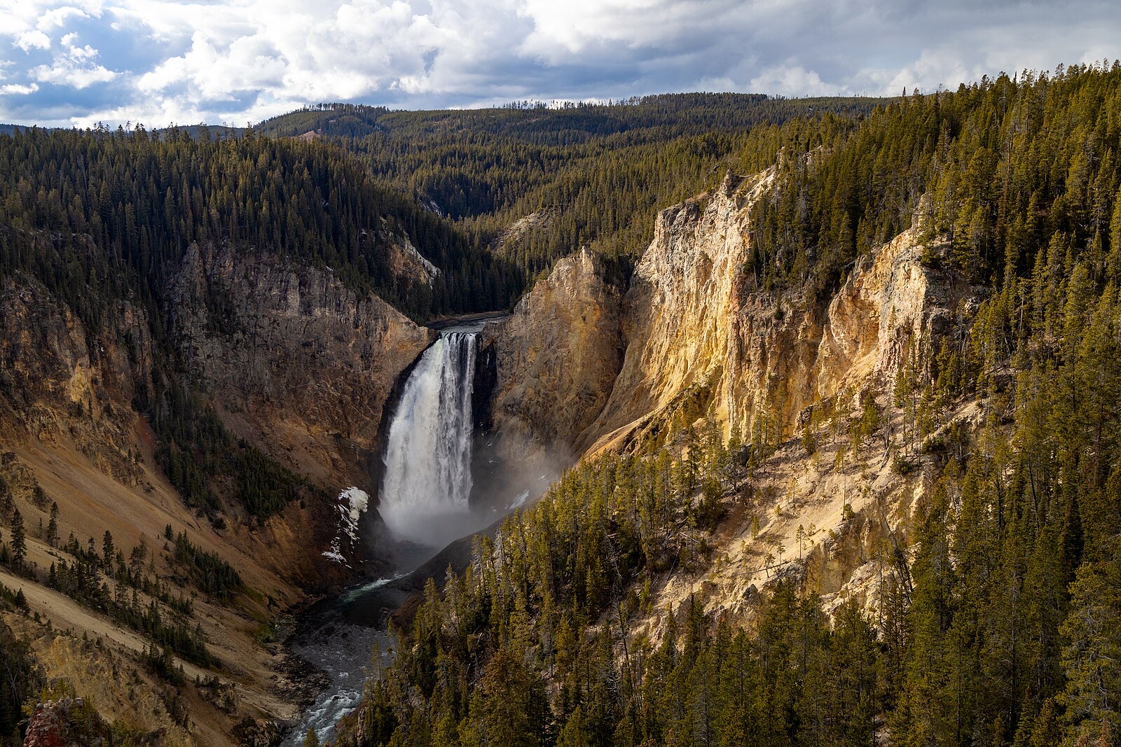
Hero image: “Afternoon fall light on Lower Falls from Lookout Point (54937071695)” — YellowstoneNPS — Public domain