Thunderbird Falls
SnowmeltA 200 foot falls in a birch canyon at the edge of Chugach State Park, an easy mile from the Glenn Highway and famous for its winter ice sculptures.

The 377 foot cascade beside the Mendenhall Glacier, reached by a flat lakeside trail from the visitor center and thundering hardest in the glacier-melt months.
Trail status, closures and safety rules belong to each falls' managing agency, named and linked on every page.
Nugget Creek drains the Nugget Glacier into Mendenhall Lake, so the falls peaks with summer glacial melt, June through August, and keeps a cold, reduced flow the rest of the year. The glacial sourcing is standard knowledge rather than the trail page's words. Juneau's fee program keeps the trail plowed all winter, so the frozen-season version is genuinely reachable.
Typical best flow: June through August
The Nugget Falls Trail is 0.8 miles long. It begins half way down Photo Point Trail and ends at Nugget Falls, skirting the flats at the edge of Mendenhall Lake. It is a low gradient trail that was completed in 2010.
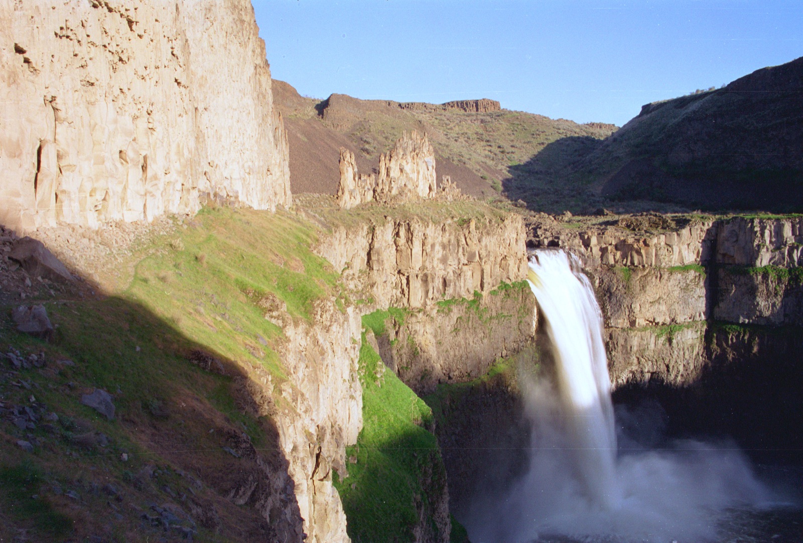
Gauge: USGS 15052500 Mendenhall R nr Auke Bay AK, downstream, on the river draining Mendenhall Lake; a basin-level proxy for the melt. The gauge reads the river, not the brink of the falls, so treat it as the trend line rather than a turnstile.
Source: USGS Water Services (National Water Information System). Instantaneous values and daily statistics services. U.S. Geological Survey data are works of the United States Government and are in the public domain. Gauge verified 2026-08-27.
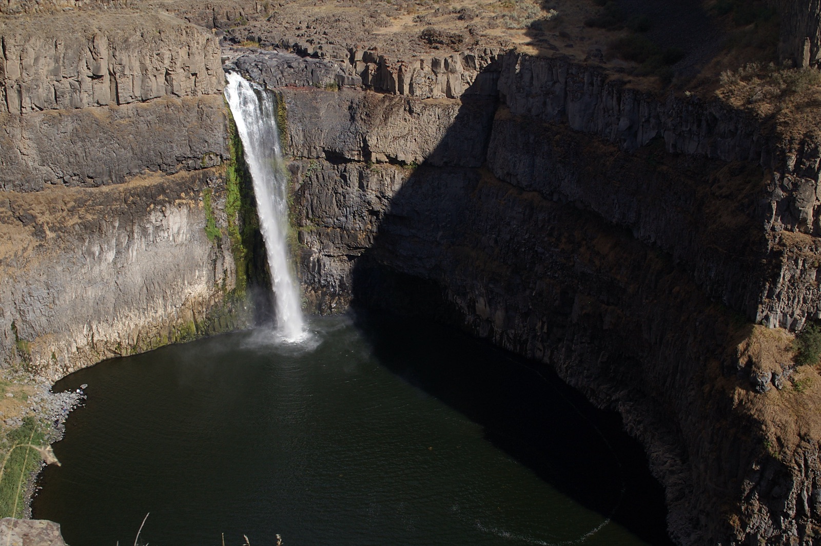
The 0.8 mile trail leaves from partway down Photo Point Trail near the Mendenhall Glacier Visitor Center and skirts the lake flats to the falls, per the Forest Service, on a low gradient alignment rebuilt above lake high water in 2010.
Current access and closures: Tongass National Forest, Mendenhall Glacier Recreation Area (US Forest Service).
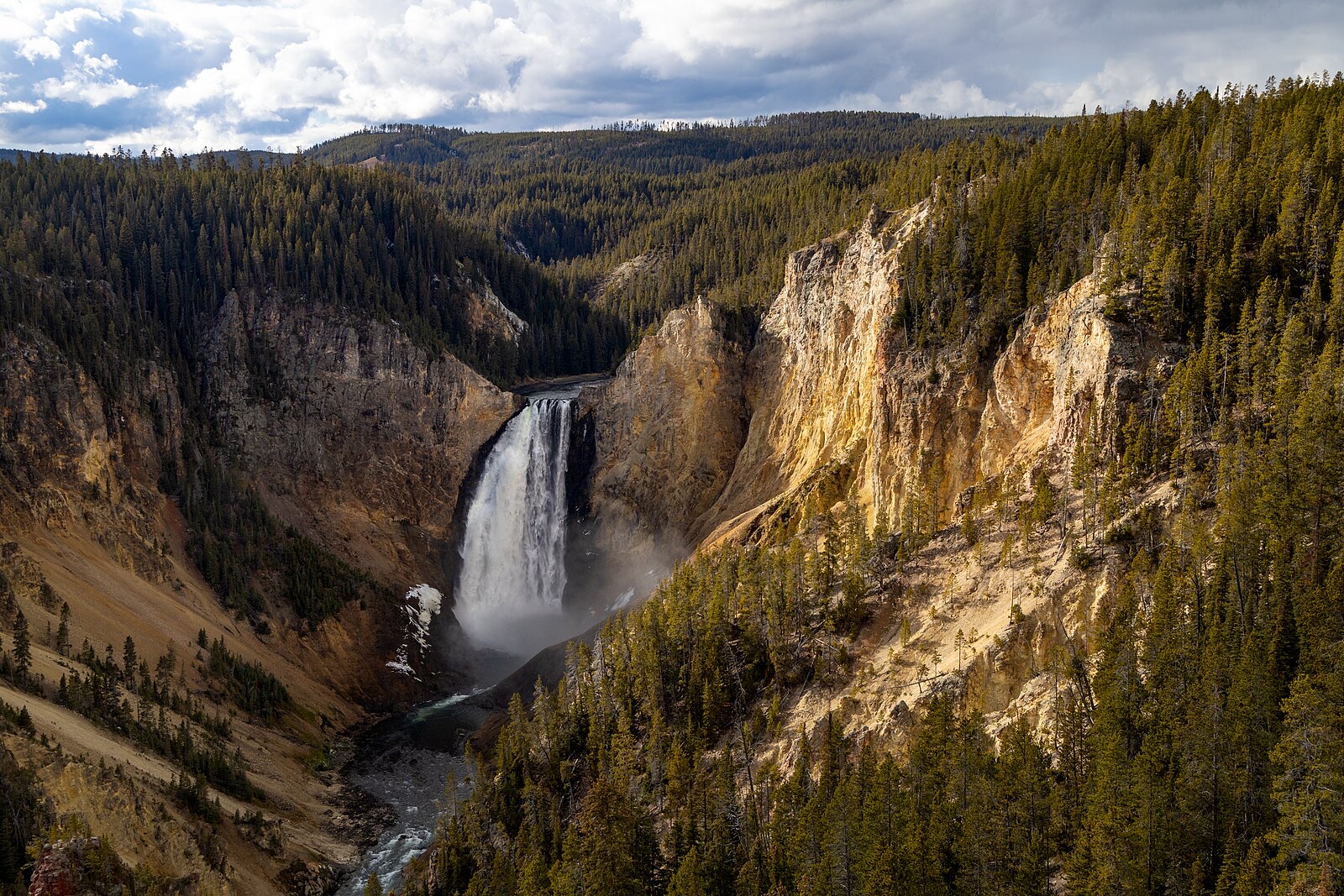

A 200 foot falls in a birch canyon at the edge of Chugach State Park, an easy mile from the Glenn Highway and famous for its winter ice sculptures.
Make a trip of it
Things to doGuided trips and experiences from local operators.
Browse on Viator Places to stay
Vacation rentals and cabins close to the water.
Browse on VrboWe may earn a commission on bookings made through these links.
Flow windows are typical-year climatology drawn from the driver and the agency language quoted above, not forecasts. Live readings and per-date percentiles are U.S. Geological Survey data, public domain; the above-or-below-typical line is our comparison and is labelled as such. Access, trail and safety information belongs to Tongass National Forest, Mendenhall Glacier Recreation Area (US Forest Service). National picture: waterfall season across the US →
Hero image: “Afternoon fall light on Lower Falls from Lookout Point (54937071695)” — YellowstoneNPS — Public domain