
Mina Sauk Falls: When It Actually Flows
Missouri's tallest waterfall, 132 feet of wet-weather cascades down volcanic ledges off the state's highest mountain, in the agency's own phrasing: in wet weather.
Trail status, closures and safety rules belong to each falls' managing agency, named and linked on every page.
What fills Mina Sauk Falls, and when
Missouri State Parks opens its description with the operative words, quoted below: in wet weather, Mina Sauk Falls drops 132 feet down its rocky volcanic ledges. Dry stretches reduce it to stained rock, which is why the agency phrased it that way, and the March through May window plus any soaking storm is the calendar.
Typical best flow: March through May
The moderately rugged Mina Sauk Falls loop trail takes visitors to the state's tallest waterfall. In wet weather, Mina Sauk Falls drops 132 feet down a series of rocky volcanic ledges into a clear, rock-bottom pool at the base.

Current flow at Mina Sauk Falls

Access, in the agency's words and ours
The moderately rugged Mina Sauk Falls loop from the Taum Sauk Mountain lot reaches the falls partway around, per the agency, in the state's highest and rockiest terrain; the Ozark Trail continues beyond.
Current access and closures: Taum Sauk Mountain State Park (Missouri State Parks).
Mina Sauk Falls flow season FAQ

More falls, and the rest of the Missouri year
Make a trip of it
Making a trip to Mina Sauk Falls?
Things to doTours & activities near Mina Sauk Falls
Guided trips and experiences from local operators.
Browse on Viator Places to stay
Stays near Mina Sauk Falls
Vacation rentals and cabins close to the water.
Browse on VrboWe may earn a commission on bookings made through these links.
Flow windows are typical-year climatology drawn from the driver and the agency language quoted above, not forecasts. Live readings and per-date percentiles are U.S. Geological Survey data, public domain; the above-or-below-typical line is our comparison and is labelled as such. Access, trail and safety information belongs to Taum Sauk Mountain State Park (Missouri State Parks). National picture: waterfall season across the US →
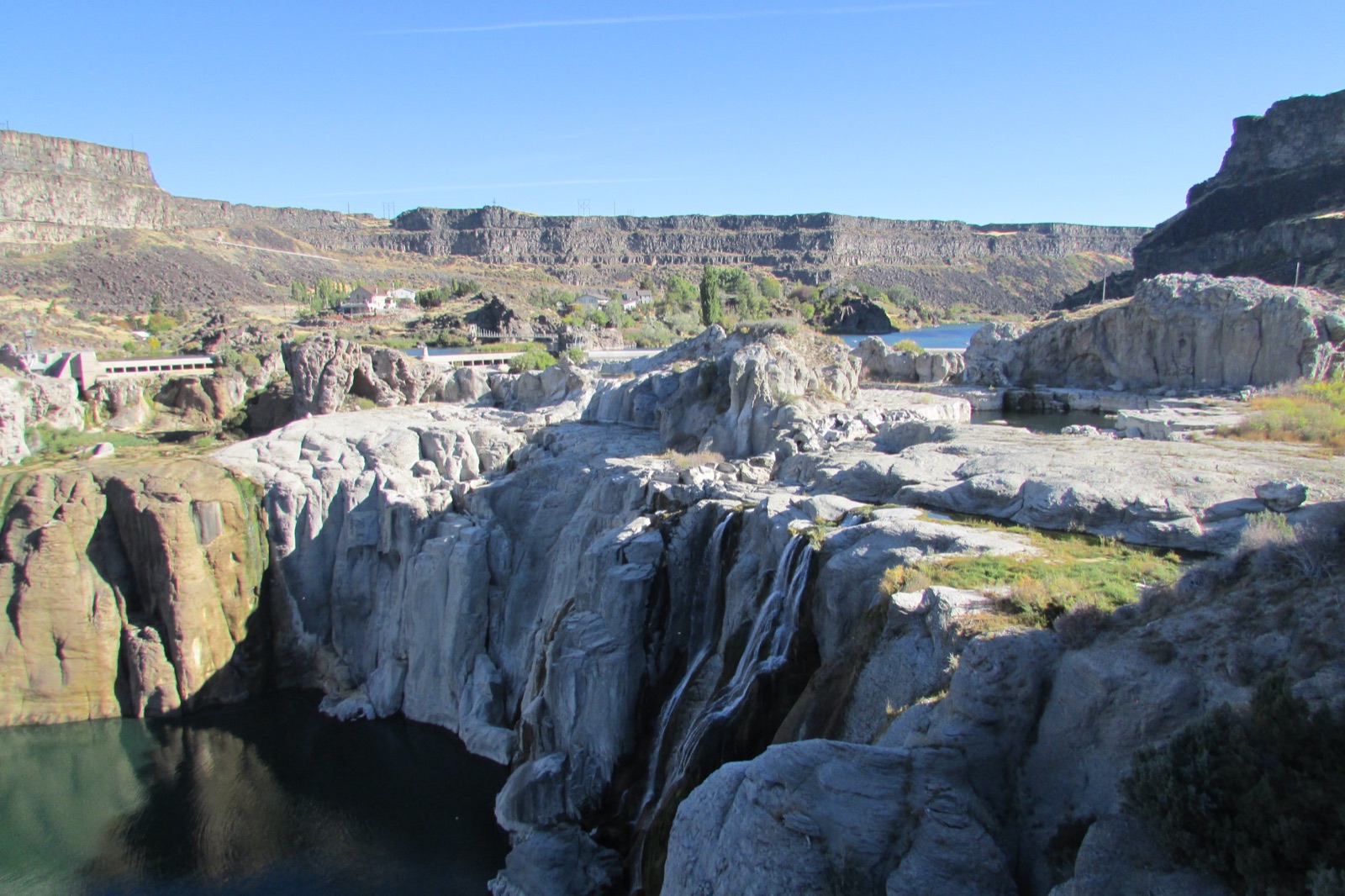
Hero image: “Dry Falls 2016-09-28 358” by Chris Light, CC BY-SA 4.0