Moxie Falls
SnowmeltOne of New England's tallest single drops, on Moxie Stream near The Forks, managed as state land with a boardwalked trail and famously little bureaucracy.

Grafton Notch's 23 foot corkscrew through glacially polished granite potholes, steps from Route 26 and at its loudest in the melt.
Trail status, closures and safety rules belong to each falls' managing agency, named and linked on every page.
The Bear River drains Grafton Notch's high country, so the melt from mid April through June sends the falls boiling through its carved potholes; summer shows the sculpture, spring shows the sculptor. The park's own line about the lip of the falls, quoted below, is the safety sentence that matters.
Typical best flow: Mid April through June
A walking path from Route 26 leads to this 23-foot waterfall lying in a narrow gorge along the Bear River.
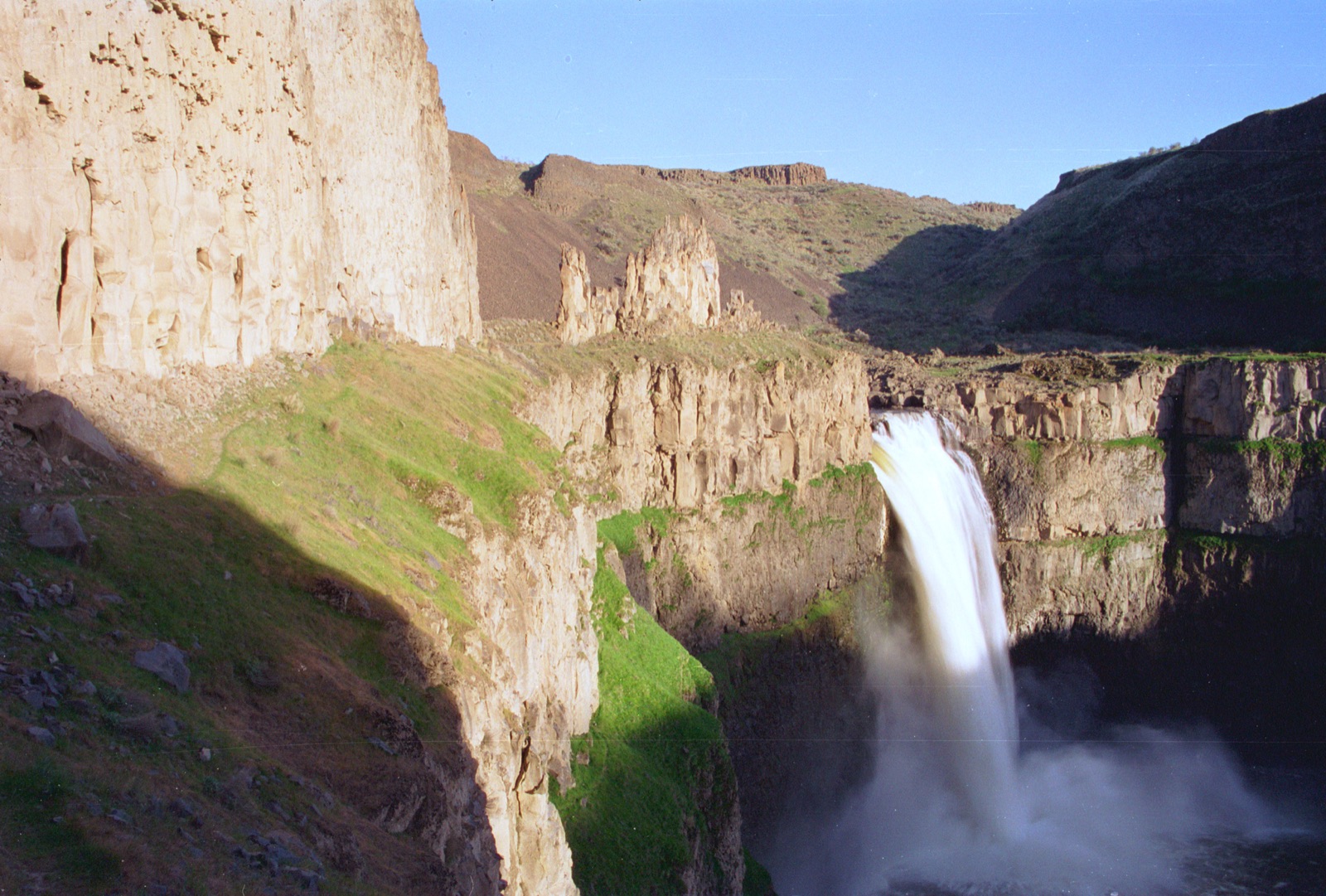
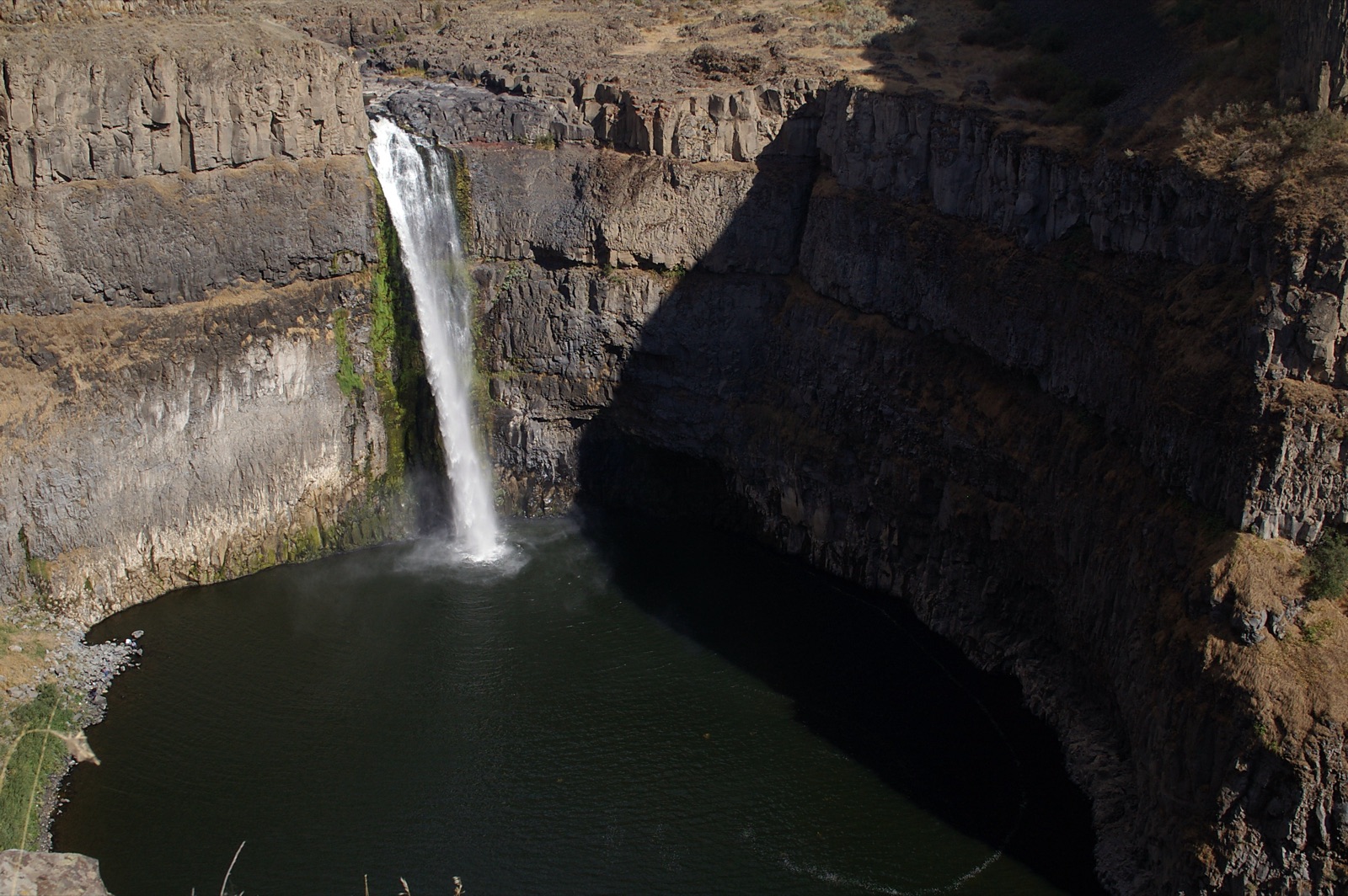
A walking path from Route 26 leads to the falls, per Maine's park page, with the park open 9 am to sunset from May 15 to October 15 for a fee; cell coverage in the notch is spotty to nonexistent, as the page warns.
Current access and closures: Grafton Notch State Park (Maine Bureau of Parks and Lands).
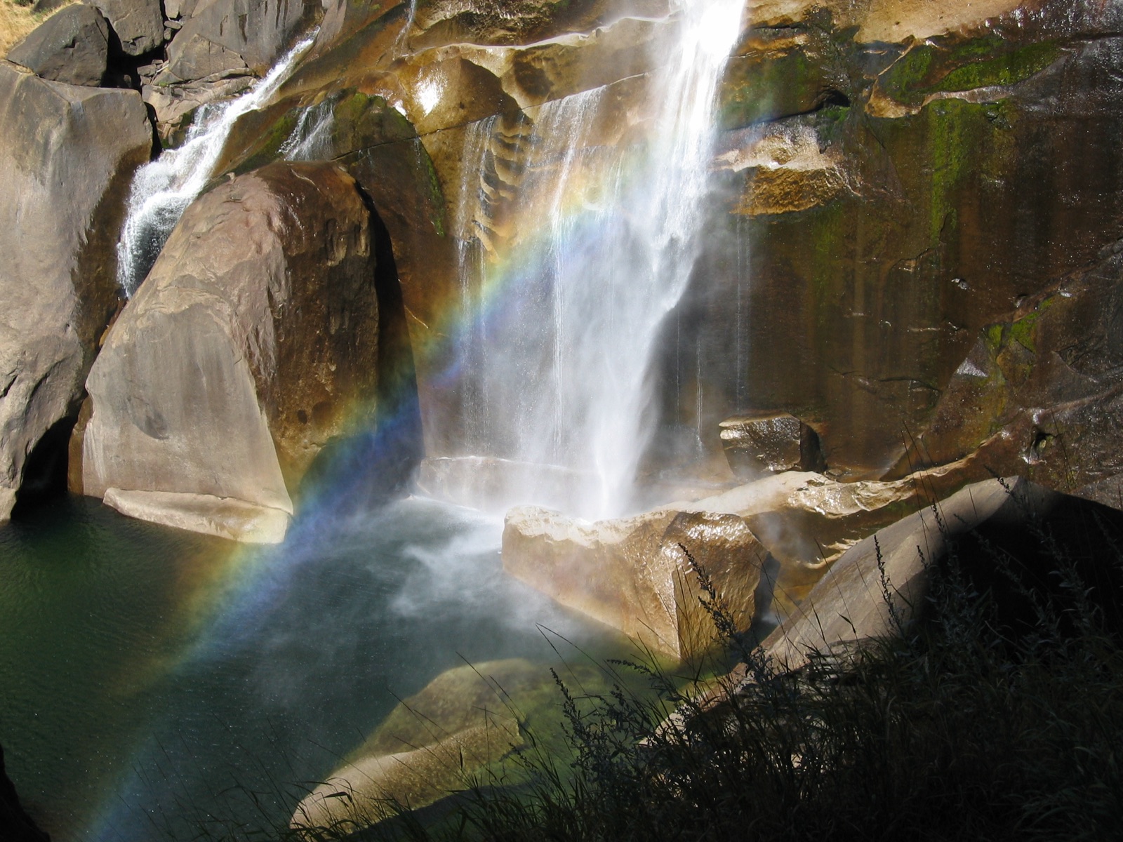

One of New England's tallest single drops, on Moxie Stream near The Forks, managed as state land with a boardwalked trail and famously little bureaucracy.
Make a trip of it
Things to doGuided trips and experiences from local operators.
Browse on Viator Places to stay
Vacation rentals and cabins close to the water.
Browse on VrboWe may earn a commission on bookings made through these links.
Flow windows are typical-year climatology drawn from the driver and the agency language quoted above, not forecasts. Live readings and per-date percentiles are U.S. Geological Survey data, public domain; the above-or-below-typical line is our comparison and is labelled as such. Access, trail and safety information belongs to Grafton Notch State Park (Maine Bureau of Parks and Lands). National picture: waterfall season across the US →
Hero image: “Rainbow in the mist of Vernal Falls in Yosemite National Park. NPS-Madelyn Carpenter (18497149938)” — NPS Natural Resources — Public domain