DeSoto Falls
Rain fedOne of Alabama\u2019s tallest and most visited waterfalls, dropping below a historic dam on the West Fork of the Little River.

A 30-foot fall on one of the few rivers in the country that runs its whole length on top of a mountain, and it changes character within hours of a storm.
Trail status, closures and safety rules belong to each falls' managing agency, named and linked on every page.
The Park Service describes this one better than we could: clear blue-green pools one day, a raging brown surge hours after heavy rain. Spring is the reliable season, and the gauge upstream is the way to know what you will find.
Typical best flow: March through May
Little River Falls is a 30\u2032 waterfall of many moods, from clear blue-green pools of water fed by a partitioned waterfall to a raging surge of brown water after a heavy rainfall

Gauge: USGS 02399200 LITTLE RIVER NEAR BLUE POND AL, near the falls on the same river. The gauge reads the river, not the brink of the falls, so treat it as the trend line rather than a turnstile.
Source: USGS Water Services (National Water Information System). Instantaneous values and daily statistics services. U.S. Geological Survey data are works of the United States Government and are in the public domain. Gauge verified 2026-08-27.

An ADA-compliant boardwalk leads to a viewing platform on the east side of the falls.
Current access and closures: Little River Canyon National Preserve (National Park Service).
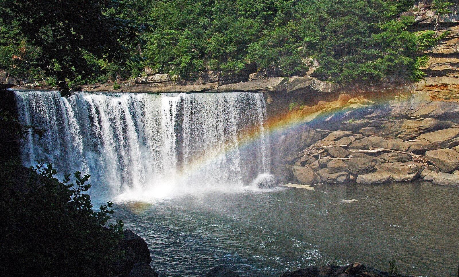

One of Alabama\u2019s tallest and most visited waterfalls, dropping below a historic dam on the West Fork of the Little River.
Make a trip of it
Things to doGuided trips and experiences from local operators.
Browse on Viator Places to stay
Vacation rentals and cabins close to the water.
Browse on VrboWe may earn a commission on bookings made through these links.
Flow windows are typical-year climatology drawn from the driver and the agency language quoted above, not forecasts. Live readings and per-date percentiles are U.S. Geological Survey data, public domain; the above-or-below-typical line is our comparison and is labelled as such. Access, trail and safety information belongs to Little River Canyon National Preserve (National Park Service). National picture: waterfall season across the US →
Hero image: “Cumberland Falls rainbow” by James St. John, CC BY 2.0