Akaka Falls
Rain fedHawaii's postcard plunge: 442 feet of free fall into a stream-eroded gorge on the Hamakua Coast, framed by a paved loop through tropical forest.

The double falls at the end of Maalo Road made famous by television, pouring off the South Fork Wailua and swelling into a single curtain after Kauai rain.
Trail status, closures and safety rules belong to each falls' managing agency, named and linked on every page.
Wailua Falls carries a real river rather than a hillside stream, so it never quits; what the rain decides is its shape, from twin plumes in dry weeks to one wall of whitewater after storms. Winter through spring is the reliably big season. The rain-fed label and the shape-shifting description are ours; the state park page lists the falls among the park's scenic vistas.
Typical best flow: November through April
Lush river valley with riverboat cruise (fee charged) to Fern Grotto, an unusual fern-covered cave set in a tropical garden; scenic vistas of attractive waterfalls 'Opaeka'a Falls and Wailua Falls) and the Wailua River Valley.

Gauge: USGS 16060000 SF Wailua River nr Lihue Kauai HI, on the same South Fork Wailua River nearby; position relative to the falls not independently confirmed. The gauge reads the river, not the brink of the falls, so treat it as the trend line rather than a turnstile.
Source: USGS Water Services (National Water Information System). Instantaneous values and daily statistics services. U.S. Geological Survey data are works of the United States Government and are in the public domain. Gauge verified 2026-08-27.

The overlook sits at the end of Maalo Road near Lihue within Wailua River State Park, open daily with the park's posted hours, and the February 2026 fee regime for non-residents applies. There is no sanctioned trail below the overlook.
Current access and closures: Wailua River State Park (Hawaii DLNR Division of State Parks).
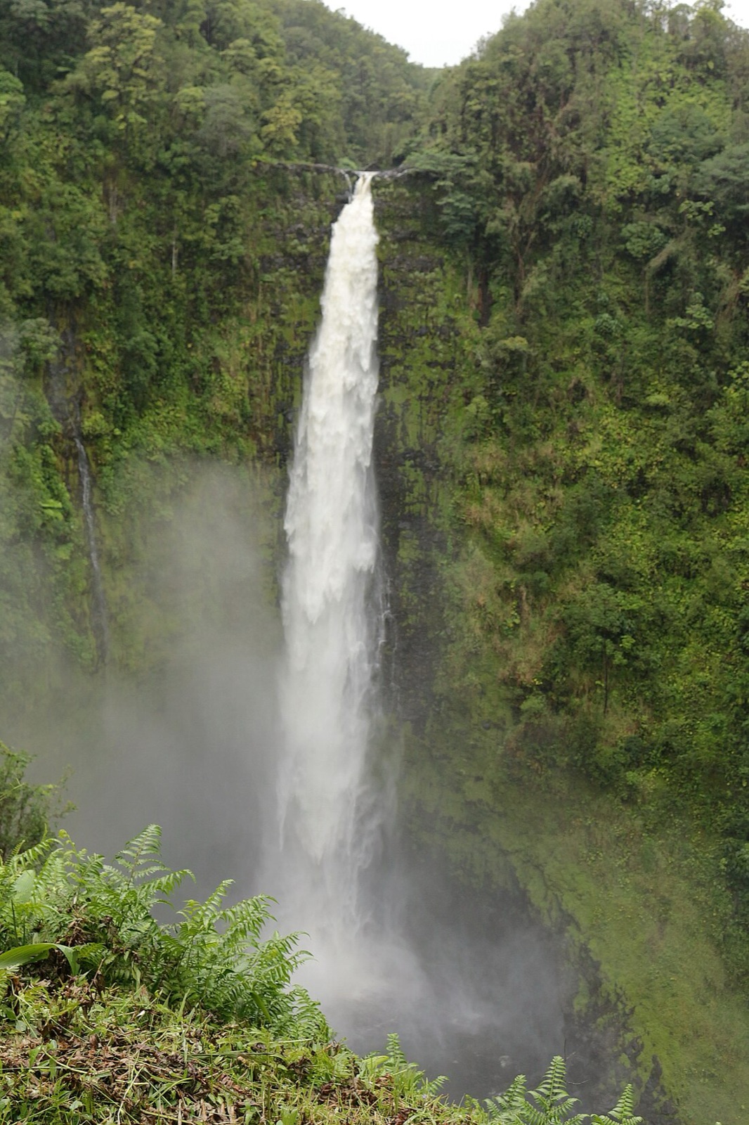

Hawaii's postcard plunge: 442 feet of free fall into a stream-eroded gorge on the Hamakua Coast, framed by a paved loop through tropical forest.
Hilo's drive-up falls on the Wailuku River, 80 feet over a lava cave said to be the home of Hina, and named for the rainbows in its morning mist.
The 400 foot wall of water at the end of Haleakala's Pipiwai Trail, past the bamboo forest in the Kipahulu District beyond Hana.
Kauai's easiest great falls: a roadside overlook above the Wailua River valley, with the falls splitting and rejoining across its basalt lip as the rain dictates.
Make a trip of it
Things to doGuided trips and experiences from local operators.
Browse on Viator Places to stay
Vacation rentals and cabins close to the water.
Browse on VrboWe may earn a commission on bookings made through these links.
Flow windows are typical-year climatology drawn from the driver and the agency language quoted above, not forecasts. Live readings and per-date percentiles are U.S. Geological Survey data, public domain; the above-or-below-typical line is our comparison and is labelled as such. Access, trail and safety information belongs to Wailua River State Park (Hawaii DLNR Division of State Parks). National picture: waterfall season across the US →
Hero image: “Akaka Falls, Akaka Falls State Park, Pepeekeo (504214) (23174492261)” by Robert Linsdell from St. Andrews, Canada, CC BY 2.0