Gorman Falls
Spring fedA 70-foot spring-fed waterfall on the Colorado River in the Hill Country, and one of the few in Texas that does not depend on last week\u2019s rain.

Upper and lower falls on Onion Creek inside Austin city limits, and a textbook example of a Hill Country creek that is either a torrent or bare limestone.
Trail status, closures and safety rules belong to each falls' managing agency, named and linked on every page.
Onion Creek is flashy in the extreme. After rain the falls are genuinely dangerous; in a dry spell the ledges are dry rock you can walk across. The gauge is the way to know which one you are driving to.
Typical best flow: March through May
The upper and lower falls on Onion Creek are scenic and rugged attractions.

Gauge: USGS 08159000 Onion Ck at US Hwy 183, Austin, TX, on Onion Creek at the falls reach. The gauge reads the river, not the brink of the falls, so treat it as the trend line rather than a turnstile.
Source: USGS Water Services (National Water Information System). Instantaneous values and daily statistics services. U.S. Geological Survey data are works of the United States Government and are in the public domain. Gauge verified 2026-08-27.

Both falls are short walks from parking inside the park.
Current access and closures: McKinney Falls State Park (Texas Parks and Wildlife Department).
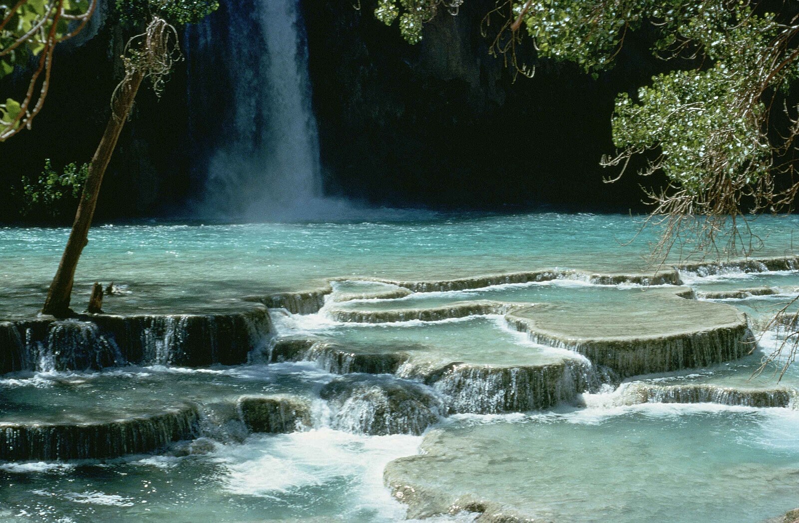

A 70-foot spring-fed waterfall on the Colorado River in the Hill Country, and one of the few in Texas that does not depend on last week\u2019s rain.
The Pedernales River sliding and tumbling over huge tilted slabs of limestone, spectacular after rain and famously dangerous when it rises.
Make a trip of it
Things to doGuided trips and experiences from local operators.
Browse on Viator Places to stay
Vacation rentals and cabins close to the water.
Browse on VrboWe may earn a commission on bookings made through these links.
Flow windows are typical-year climatology drawn from the driver and the agency language quoted above, not forecasts. Live readings and per-date percentiles are U.S. Geological Survey data, public domain; the above-or-below-typical line is our comparison and is labelled as such. Access, trail and safety information belongs to McKinney Falls State Park (Texas Parks and Wildlife Department). National picture: waterfall season across the US →
Hero image: “Havasu falls Arizona” — Stolz Gary M, U.S. Fish and Wildlife Service — Public domain