Burden Falls
Rain fedThe Shawnee Hills' wet-weather cascade at the edge of its namesake wilderness, small but very scenic in the Forest Service's words, and best caught within days of rain.

The tallest of Starved Rock's canyon falls, with an agency that publishes the flow calendar outright: falls run March through June, may dry out by late June, and return as January icefalls.
Trail status, closures and safety rules belong to each falls' managing agency, named and linked on every page.
Illinois DNR's Starved Rock question-and-answer sheet is the most explicit seasonal document any agency publishes for a falls on this site, quoted below: waterfalls are generated by snowmelt and rainfall, occur March through June, may dry out late June through October, and re-form as icefalls in January. Wildcat Canyon's roughly 80 foot drop is the headliner among the eight accessible canyon falls the agency lists.
Typical best flow: March through mid June
Waterfalls are generated by snowmelt and rainfall. They occur March through June but, may dry out late June through October. Heavy rains, snowfall, and snow melt in the months of November through March may replenish the canyon waterfalls.


Boardwalk trails from Starved Rock's visitor center reach Wildcat Canyon's rim and floor among 13 miles of park trails, per the DNR; canyon wading, swimming and watersliding are prohibited with fines starting at $195, per the same document.
Current access and closures: Starved Rock State Park (Illinois DNR).
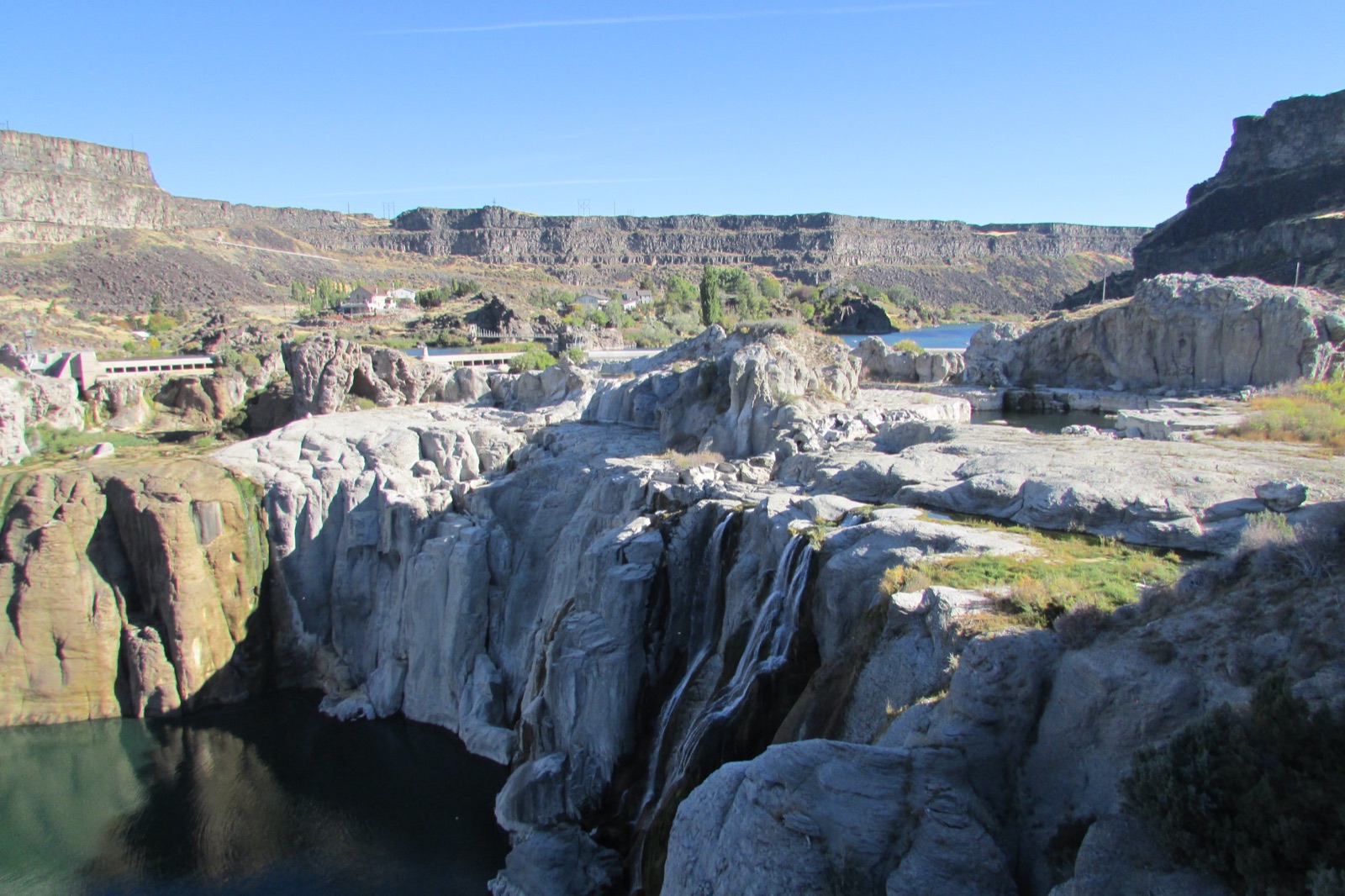

The Shawnee Hills' wet-weather cascade at the edge of its namesake wilderness, small but very scenic in the Forest Service's words, and best caught within days of rain.
Make a trip of it
Things to doGuided trips and experiences from local operators.
Browse on Viator Places to stay
Vacation rentals and cabins close to the water.
Browse on VrboWe may earn a commission on bookings made through these links.
Flow windows are typical-year climatology drawn from the driver and the agency language quoted above, not forecasts. Live readings and per-date percentiles are U.S. Geological Survey data, public domain; the above-or-below-typical line is our comparison and is labelled as such. Access, trail and safety information belongs to Starved Rock State Park (Illinois DNR). National picture: waterfall season across the US →
Hero image: “Dry Falls 2016-09-28 358” by Chris Light, CC BY-SA 4.0