Big Manitou Falls
SnowmeltWisconsin's tallest waterfall at 165 feet, by the DNR's own superlative, dropping the Douglas County Black River toward Lake Superior in Pattison State Park.

Two rivers meeting in an ancient lava gorge: Copper Falls on the Bad River and Brownstone Falls where the Tyler Forks crashes in, both gauged upstream.
Trail status, closures and safety rules belong to each falls' managing agency, named and linked on every page.
The Bad River and Tyler Forks drain the snowy Penokee country, so both falls peak with the melt and lean out by late summer, when their gauges can read single digits. The CCC-built trails and the lava-flow gorge, per the DNR, make this the most architecturally complete falls park in the state.
Typical best flow: April through mid June
Ancient lava flows, deep gorges and spectacular waterfalls make Copper Falls State Park one of Wisconsin's most scenic parks. Log buildings built by the Civilian Conservation Corps in the 1930s add to the park's charm.
Gauge: USGS 04026511 Bad River at US Highway 169 near Mellen WI, upstream of Copper Falls on the Bad River. The gauge reads the river, not the brink of the falls, so treat it as the trend line rather than a turnstile.
Source: USGS Water Services (National Water Information System). Instantaneous values and daily statistics services. U.S. Geological Survey data are works of the United States Government and are in the public domain. Gauge verified 2026-08-27.
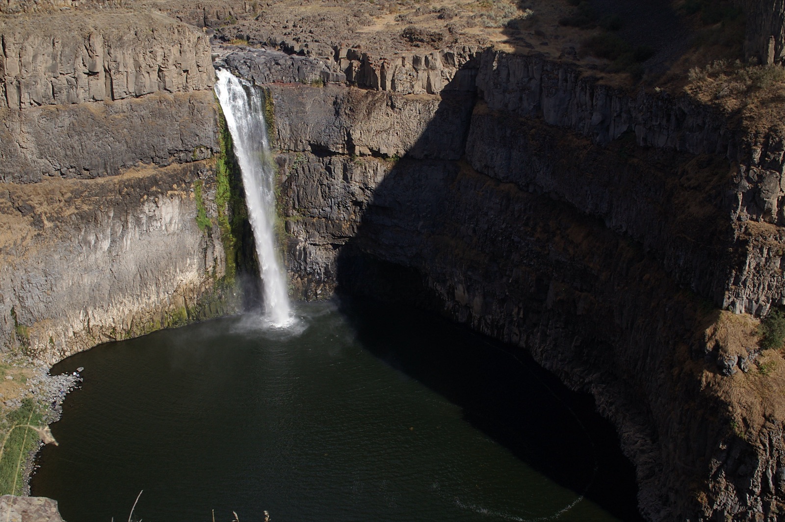
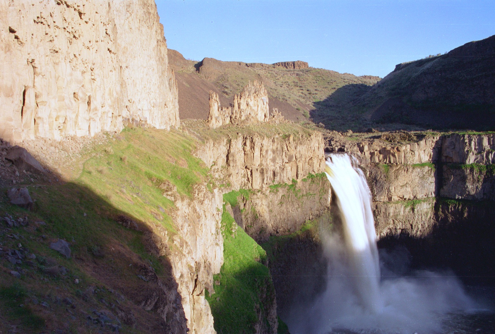
The 1.7 mile Doughboys Nature Trail loops past both falls and the confluence, called one of the best hikes in Wisconsin by the DNR; the park is open 6 am to 11 pm year round.
Current access and closures: Copper Falls State Park (Wisconsin DNR).


Wisconsin's tallest waterfall at 165 feet, by the DNR's own superlative, dropping the Douglas County Black River toward Lake Superior in Pattison State Park.
A broad, stepped 45 foot class cascade in Willow River State Park near Hudson, a wading and photography favorite that runs on the season's rain.
Make a trip of it
Things to doGuided trips and experiences from local operators.
Browse on Viator Places to stay
Vacation rentals and cabins close to the water.
Browse on VrboWe may earn a commission on bookings made through these links.
Flow windows are typical-year climatology drawn from the driver and the agency language quoted above, not forecasts. Live readings and per-date percentiles are U.S. Geological Survey data, public domain; the above-or-below-typical line is our comparison and is labelled as such. Access, trail and safety information belongs to Copper Falls State Park (Wisconsin DNR). National picture: waterfall season across the US →
Hero image: “Blackwater Falls (15437499241)” by Benjamin Smith from United States, CC BY 2.0