Tahquamenon Falls
SnowmeltMichigan's amber giant: a 200 foot wide, 50 foot tall curtain stained by swamp tannin, the largest falls in the state by its DNR's own measure.

The Lower Peninsula's signature falls, a modest, friendly ledge drop with a paved path, accessible picnic areas, and a big reputation for wading.
Trail status, closures and safety rules belong to each falls' managing agency, named and linked on every page.
The Ocqueoc is a gentle northern Lower Peninsula river: its low falls swell with spring runoff and settle into the wading-depth cascades that made the site famous for accessibility. Manage expectations on height; the DNR's pages celebrate access rather than verticality, and rightly.
Typical best flow: Mid March through mid June
You can hike to the campground's crowning jewel, Ocqueoc Falls, along the Ocqueoc Falls Bicentennial Pathway. The campground is located 12 miles west of Rogers City via M-68.


A paved trail runs from the lot to the falls with accessible picnic areas and benches, per the DNR, beside the Ocqueoc Falls Bicentennial Pathway's 3 to 6 mile loops; the state forest campground sits across the road.
Current access and closures: Ocqueoc Falls State Forest Campground (Michigan DNR).
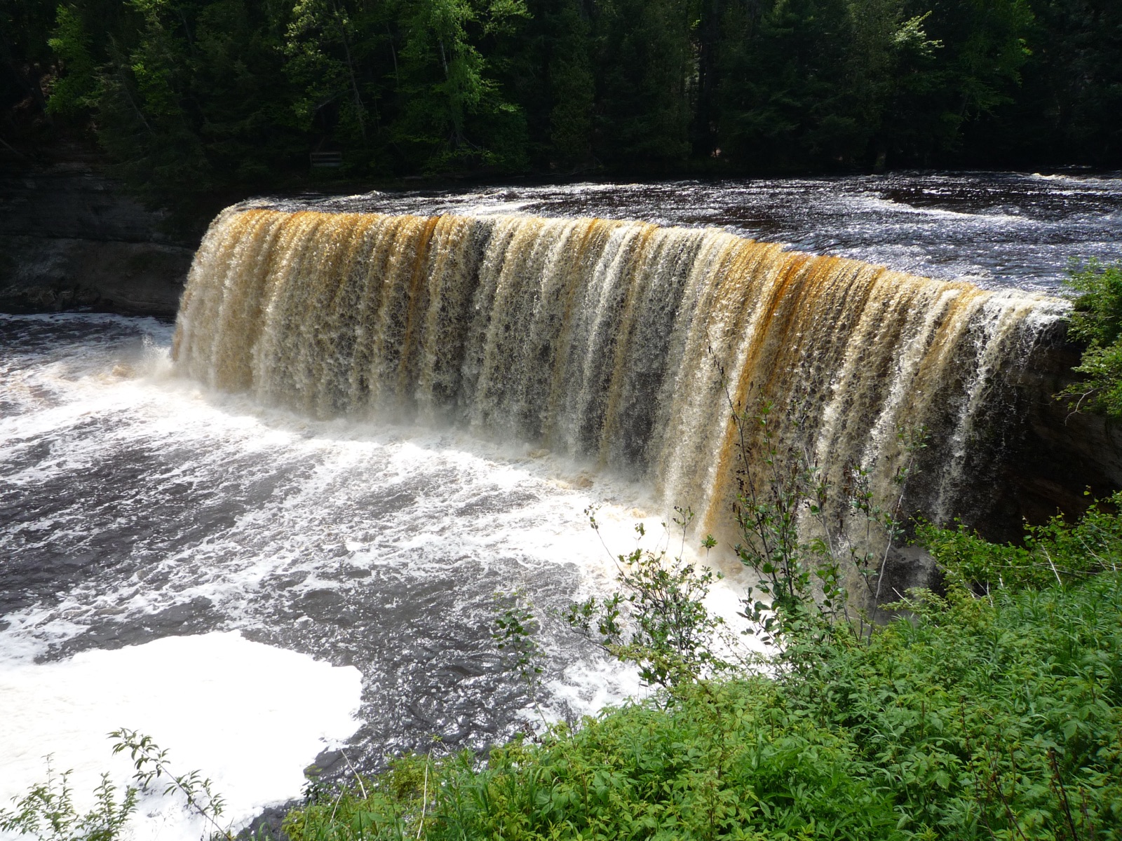

Michigan's amber giant: a 200 foot wide, 50 foot tall curtain stained by swamp tannin, the largest falls in the state by its DNR's own measure.
Pictured Rocks' year-round falls: a 50 foot sandstone drop up a paved canyon path, plowed all winter and stunning frozen, per the Park Service itself.
The most powerful waterfall at Pictured Rocks, reached by a rolling northwoods path to two platforms above the Miners River gorge.
A hundred small cascades fanned across fractured rock below a hydro flowage dam, kept photogenic in most months by the very regulation that tamed the river.
Make a trip of it
Things to doGuided trips and experiences from local operators.
Browse on Viator Places to stay
Vacation rentals and cabins close to the water.
Browse on VrboWe may earn a commission on bookings made through these links.
Flow windows are typical-year climatology drawn from the driver and the agency language quoted above, not forecasts. Live readings and per-date percentiles are U.S. Geological Survey data, public domain; the above-or-below-typical line is our comparison and is labelled as such. Access, trail and safety information belongs to Ocqueoc Falls State Forest Campground (Michigan DNR). National picture: waterfall season across the US →
Hero image: “2009-0618-TahquamenonFalls” by Bobak Ha'Eri, CC BY 3.0