Upper Mesa Falls
SnowmeltThe bigger of the two Mesa Falls, on the last stretch of major Idaho falls never harnessed for irrigation or power: a wild Henrys Fork pouring off a volcanic ledge.

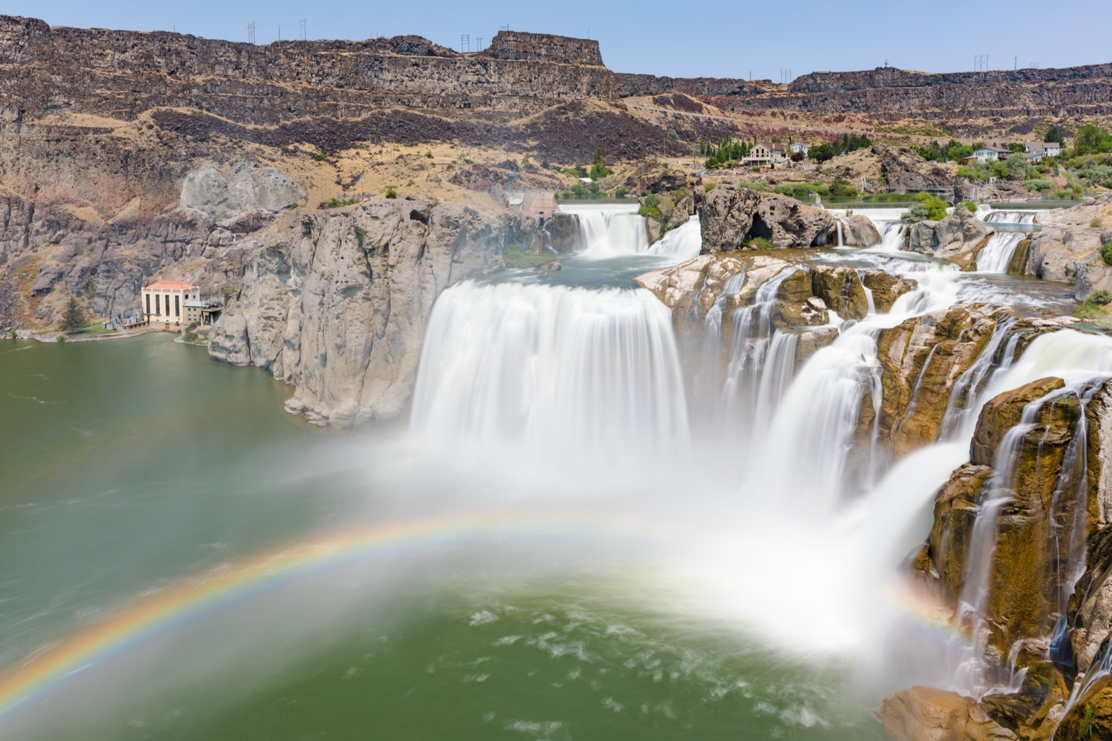
The Niagara of the West: 212 feet tall and 900 feet wide when the Snake River is allowed to come over, and nearly dry by fall when Milner Dam sends the water to farms instead.
Trail status, closures and safety rules belong to each falls' managing agency, named and linked on every page.
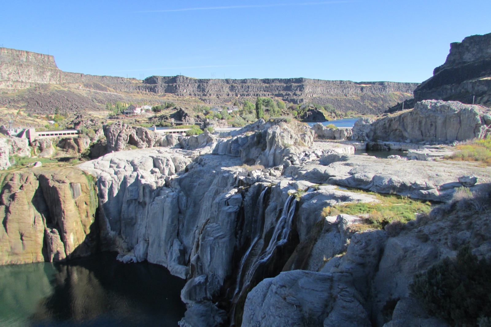
Shoshone Falls is the country's clearest lesson in regulated flow. The City of Twin Falls, which runs the park, says it plainly: spring snowmelt is the best time, summer diverts a portion of the river for irrigation, and by fall the falls often appears nearly dry. The city puts typical spring peaks at 10,000 to 12,000 cfs, upwards of 20,000 in big snow years, and notes the decision is made 20 miles upstream at Milner Dam by the Bureau of Reclamation. The gauge on this page reads the Snake just above the falls, so you can see the schedule for yourself.
Typical best flow: Mid March through mid June
Spring, when the snowpack begins to melt, is the best time to see Shoshone Falls. In the summer months, a portion of the river is diverted for irrigation purposes, which reduces the flow over the falls. In the Fall, you will often experience a minimal flow where Shoshone Falls will appear nearly dry.
Gauge: USGS 13090500 Snake River nr Twin Falls ID, on the Snake River just upstream of the falls, below the Milner Dam diversions. The gauge reads the river, not the brink of the falls, so treat it as the trend line rather than a turnstile.
Source: USGS Water Services (National Water Information System). Instantaneous values and daily statistics services. U.S. Geological Survey data are works of the United States Government and are in the public domain. Gauge verified 2026-08-27.

Shoshone Falls Park is open year round dawn to dusk, with a $5 per car fee from March 1 through fall, per the city. Idaho Power posts flow news and a real time dashboard, and the city FAQ answers the only question that matters here: are the falls on.
Current access and closures: City of Twin Falls Parks and Recreation (Shoshone Falls Park).

The bigger of the two Mesa Falls, on the last stretch of major Idaho falls never harnessed for irrigation or power: a wild Henrys Fork pouring off a volcanic ledge.
A 65 foot plunge over a 200 foot wide ledge of ancient volcanic tuff, viewed from an overlook on the Mesa Falls Scenic Byway and open even while its upper sibling is under renovation.
Make a trip of it
Things to doGuided trips and experiences from local operators.
Browse on Viator Places to stay
Vacation rentals and cabins close to the water.
Browse on VrboWe may earn a commission on bookings made through these links.
Flow windows are typical-year climatology drawn from the driver and the agency language quoted above, not forecasts. Live readings and per-date percentiles are U.S. Geological Survey data, public domain; the above-or-below-typical line is our comparison and is labelled as such. Access, trail and safety information belongs to City of Twin Falls Parks and Recreation (Shoshone Falls Park). National picture: waterfall season across the US →
Hero image: “Shoshone Falls near Twin Falls, Idaho” by Frank Schulenburg, CC BY-SA 4.0