Shoshone Falls
Flow controlledThe Niagara of the West: 212 feet tall and 900 feet wide when the Snake River is allowed to come over, and nearly dry by fall when Milner Dam sends the water to farms instead.

A 65 foot plunge over a 200 foot wide ledge of ancient volcanic tuff, viewed from an overlook on the Mesa Falls Scenic Byway and open even while its upper sibling is under renovation.
Trail status, closures and safety rules belong to each falls' managing agency, named and linked on every page.
Lower Mesa shares the upper falls' wild hydrology: an undammed Henrys Fork whose flow, in the Forest Service's words, is especially striking during the snowmelt driven high flows of late spring. Because nothing upstream schedules it, the seasonal curve is pure mountain physics, big in June, steady and clear the rest of the year.
Typical best flow: May through mid July
Situated along the Mesa Falls Scenic Byway (Idaho Highway 47), approximately 15 miles northeast of Ashton, this site overlooks Lower Mesa Falls, where the Henry's Fork of the Snake River plunges 65 feet over a 200-foot-wide ledge of volcanic tuff formed 1.3 million years ago.

Gauge: USGS 13046000 Henrys Fork nr Ashton ID, downstream of the falls on the same river, near Ashton. The gauge reads the river, not the brink of the falls, so treat it as the trend line rather than a turnstile.
Source: USGS Water Services (National Water Information System). Instantaneous values and daily statistics services. U.S. Geological Survey data are works of the United States Government and are in the public domain. Gauge verified 2026-08-27.
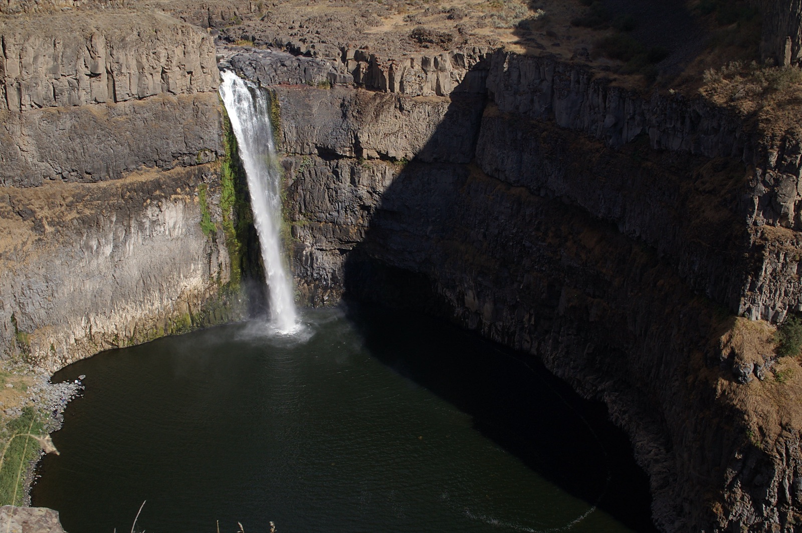
The observation site is open year round with no fee, per the Forest Service, sitting 1.2 miles downstream of Upper Mesa Falls on Highway 47, though winter plowing limits road access. It remained the designated alternative during the 2026 Upper Mesa renovation closure.
Current access and closures: Caribou-Targhee National Forest (US Forest Service).
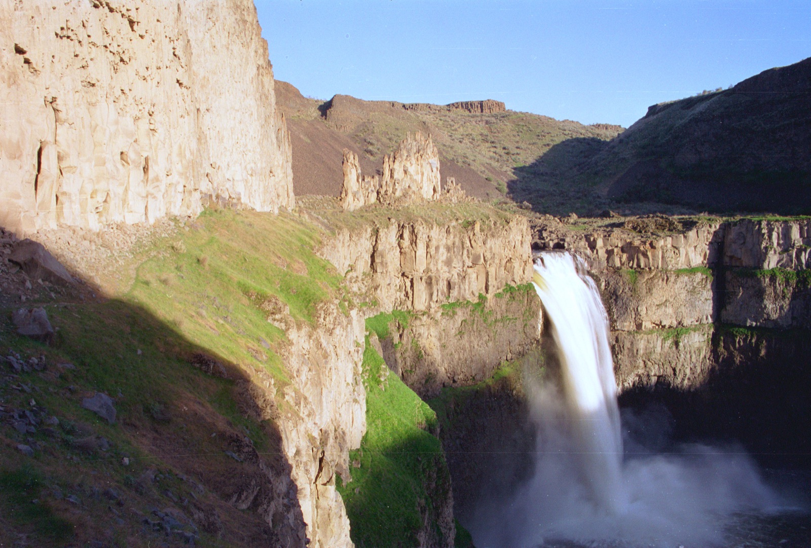

The Niagara of the West: 212 feet tall and 900 feet wide when the Snake River is allowed to come over, and nearly dry by fall when Milner Dam sends the water to farms instead.
The bigger of the two Mesa Falls, on the last stretch of major Idaho falls never harnessed for irrigation or power: a wild Henrys Fork pouring off a volcanic ledge.
Make a trip of it
Things to doGuided trips and experiences from local operators.
Browse on Viator Places to stay
Vacation rentals and cabins close to the water.
Browse on VrboWe may earn a commission on bookings made through these links.
Flow windows are typical-year climatology drawn from the driver and the agency language quoted above, not forecasts. Live readings and per-date percentiles are U.S. Geological Survey data, public domain; the above-or-below-typical line is our comparison and is labelled as such. Access, trail and safety information belongs to Caribou-Targhee National Forest (US Forest Service). National picture: waterfall season across the US →
Hero image: “04-15-14-palouse” — Dsdugan — CC0