Cunningham Falls
SnowmeltMaryland's Catoctin Mountain cascade, called McAfee Falls by the state's own page, sliding down mossy rock near Thurmont with strictly no swimming or climbing.

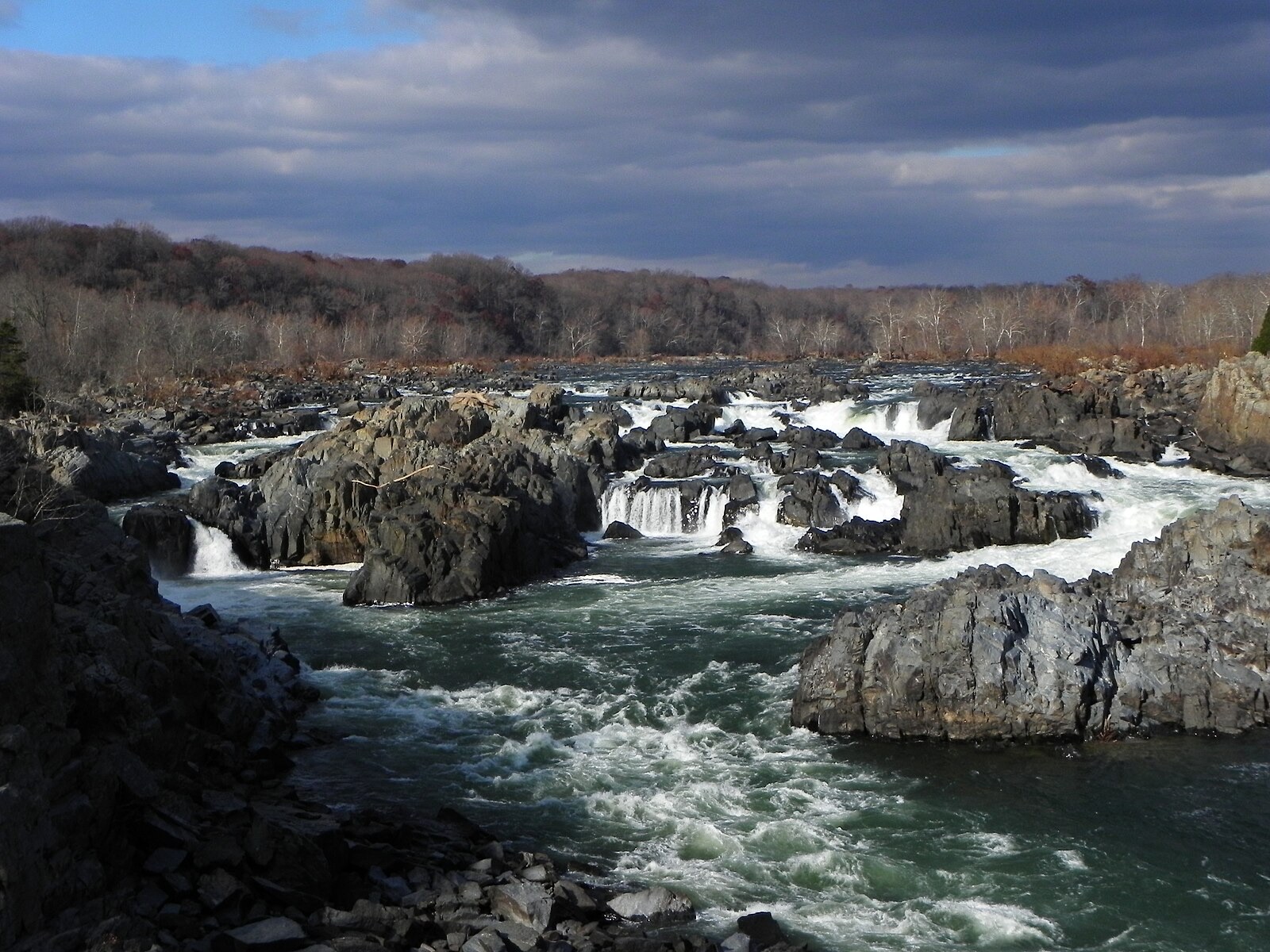
The Maryland side of the East's wildest urban whitewater, viewed from the Olmsted Island boardwalk off the C&O Canal towpath.
Trail status, closures and safety rules belong to each falls' managing agency, named and linked on every page.
The Potomac at Great Falls is a big free river: its falls never stop, but late winter and spring basin-wide rain routinely multiply the flow tenfold over autumn lows, transforming the character from carved channels to one connected cataract. The Little Falls gauge a few miles downstream is the canonical number for the whole DC river.
Typical best flow: Late winter through May
Walk the scenic boardwalk through Olmsted Island, a rare and flourishing ecosystem of thousands of plants and animals.

Gauge: USGS 01646500 Potomac River near Wash DC Little Falls pump sta, a few miles downstream of the falls on the same river. The gauge reads the river, not the brink of the falls, so treat it as the trend line rather than a turnstile.
Source: USGS Water Services (National Water Information System). Instantaneous values and daily statistics services. U.S. Geological Survey data are works of the United States Government and are in the public domain. Gauge verified 2026-08-27.

The boardwalk crosses Olmsted Island's rare bedrock terrace ecosystem to the overlook, per the Park Service; flood damage has periodically closed the bridges, and the agency's river warnings below are written in earnest.
Current access and closures: Chesapeake and Ohio Canal National Historical Park (National Park Service).

Maryland's Catoctin Mountain cascade, called McAfee Falls by the state's own page, sliding down mossy rock near Thurmont with strictly no swimming or climbing.
Maryland's big one: a crashing 53 foot falls in Swallow Falls State Park's old-growth hemlock corner, with a USGS gauge on the Youghiogheny essentially at the park.
Make a trip of it
Things to doGuided trips and experiences from local operators.
Browse on Viator Places to stay
Vacation rentals and cabins close to the water.
Browse on VrboWe may earn a commission on bookings made through these links.
Flow windows are typical-year climatology drawn from the driver and the agency language quoted above, not forecasts. Live readings and per-date percentiles are U.S. Geological Survey data, public domain; the above-or-below-typical line is our comparison and is labelled as such. Access, trail and safety information belongs to Chesapeake and Ohio Canal National Historical Park (National Park Service). National picture: waterfall season across the US →
Hero image: “Great Falls of the Potomac River in November, 2012” — National Park Service — Public domain