Sitting Bull Falls
Spring fedA 150 foot spring-fed oasis in the Chihuahuan Desert canyons west of Carlsbad, with an accessible path to the falls and strict gate hours.

The highest falls in the Jemez Mountains, a quarter mile walk from the trailhead through ponderosa country above the Valles Caldera.
Trail status, closures and safety rules belong to each falls' managing agency, named and linked on every page.
The East Fork Jemez gathers snowmelt off the caldera rim, so the falls peaks from mid April to mid June, drops through the arid early summer, and gets brief second winds from July and August monsoon storms. That seasonal read is ours from the gauge records; the Forest Service page sticks to the trail.
Typical best flow: Mid April through mid June
A short 1/4-mile hike will get you to the Jemez Falls Overlook, the highest falls in the Jemez Mountains.
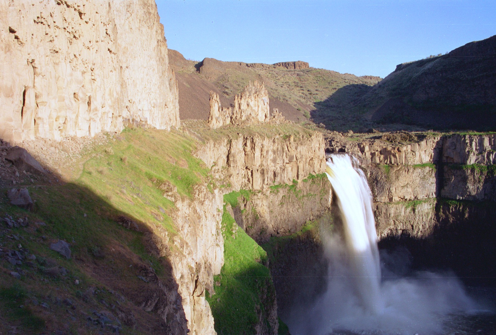
Gauge: USGS 08324000 Jemez River near Jemez NM, downstream of the falls, below the East Fork confluence. The gauge reads the river, not the brink of the falls, so treat it as the trend line rather than a turnstile.
Source: USGS Water Services (National Water Information System). Instantaneous values and daily statistics services. U.S. Geological Survey data are works of the United States Government and are in the public domain. Gauge verified 2026-08-27.
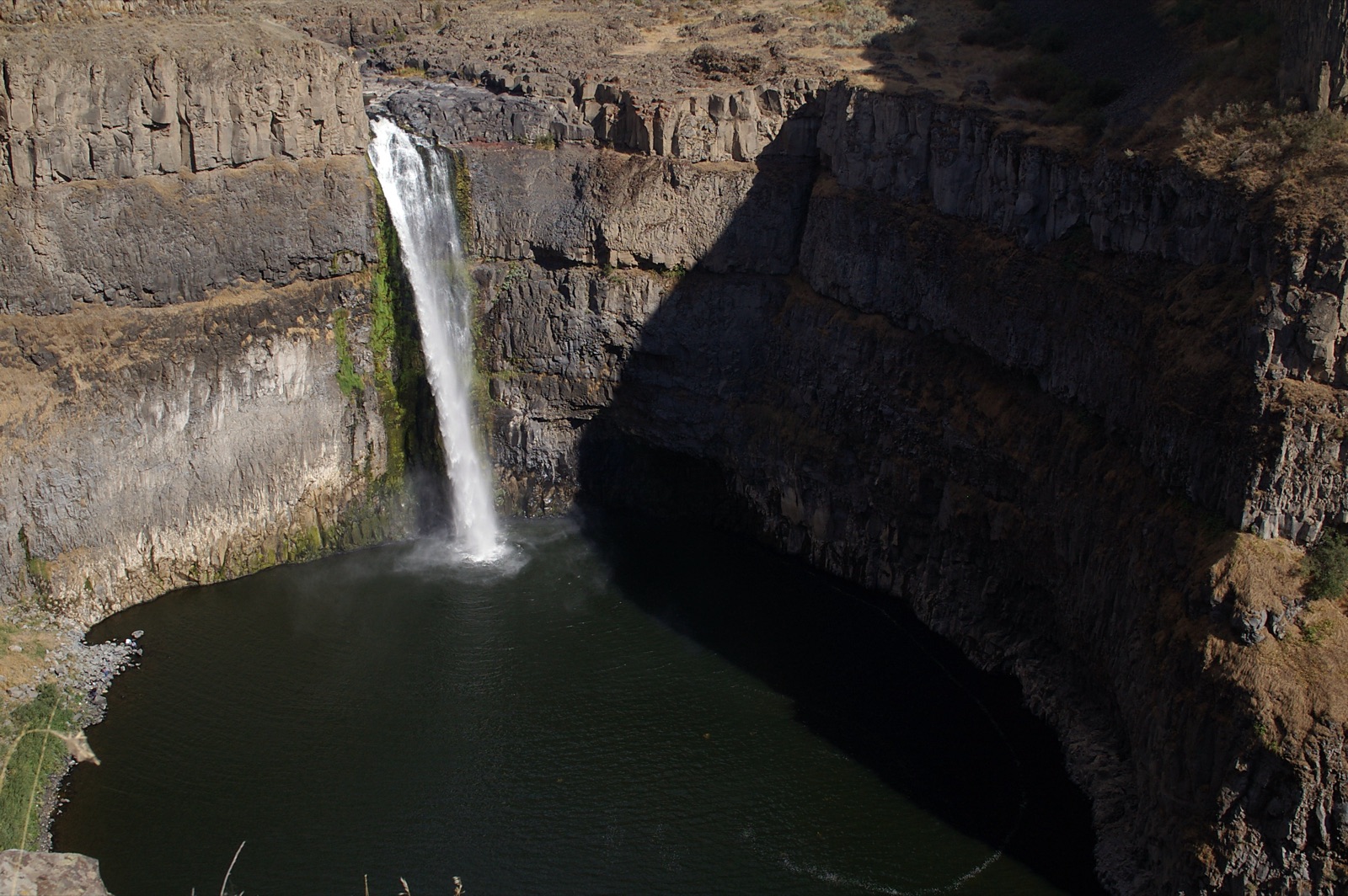
A quarter mile hike reaches the overlook, per the Forest Service, from a trailhead with paved parking and toilets that began charging a $5 day use fee in May 2025. The adjacent Jemez Falls Campground shares the turnoff; day use only near the trailhead.
Current access and closures: Santa Fe National Forest (US Forest Service).
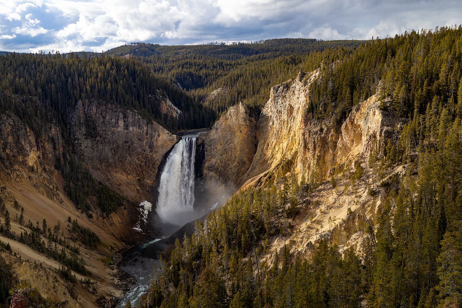

A 150 foot spring-fed oasis in the Chihuahuan Desert canyons west of Carlsbad, with an accessible path to the falls and strict gate hours.
A double drop on the Rio Nambe on sovereign Nambe Pueblo land, directly below the Bureau of Reclamation dam that has set its flow since 1976.
Make a trip of it
Things to doGuided trips and experiences from local operators.
Browse on Viator Places to stay
Vacation rentals and cabins close to the water.
Browse on VrboWe may earn a commission on bookings made through these links.
Flow windows are typical-year climatology drawn from the driver and the agency language quoted above, not forecasts. Live readings and per-date percentiles are U.S. Geological Survey data, public domain; the above-or-below-typical line is our comparison and is labelled as such. Access, trail and safety information belongs to Santa Fe National Forest (US Forest Service). National picture: waterfall season across the US →
Hero image: “Afternoon fall light on Lower Falls from Lookout Point (54937071695)” — YellowstoneNPS — Public domain