Jemez Falls
SnowmeltThe highest falls in the Jemez Mountains, a quarter mile walk from the trailhead through ponderosa country above the Valles Caldera.

A 150 foot spring-fed oasis in the Chihuahuan Desert canyons west of Carlsbad, with an accessible path to the falls and strict gate hours.
Trail status, closures and safety rules belong to each falls' managing agency, named and linked on every page.
The Forest Service calls it what it is: a desert oasis of spring-fed waterfalls dropping 150 feet to a pool. Because the water rises from the Guadalupe Mountains' limestone rather than falling from the sky, the falls runs in every month of a climate that gets under a foot and a half of rain a year. The calendar that governs a visit is the gate: open 8:30 to 4, entry closed by 3:30.
This desert oasis features a series of spring-fed waterfalls that fall 150 feet (45.7 m) to a large pool of water below. There is an ADA accessible path to the falls viewing area a short distance from the parking lot, along with several hiking trails.
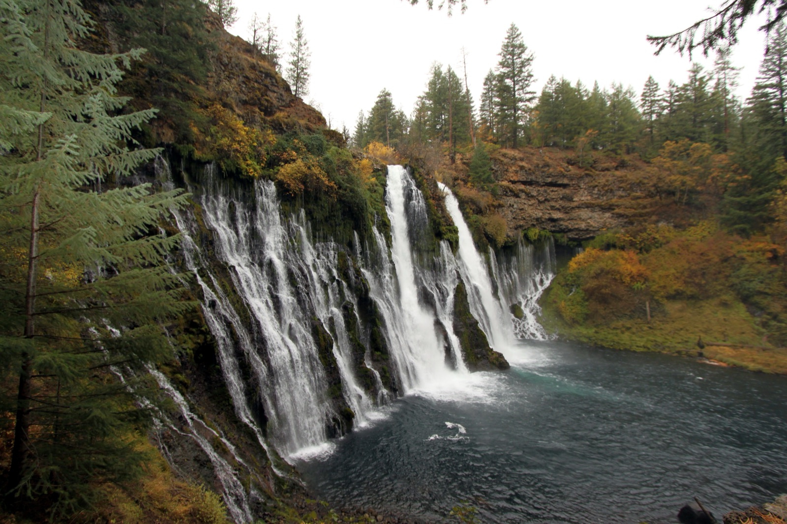

The recreation area is day use only, 42 miles west of Carlsbad, with an ADA accessible path to the falls viewing area and a $10 per vehicle fee, per the Forest Service. The entry gate closes at 3:30 pm sharp.
Current access and closures: Lincoln National Forest (US Forest Service).
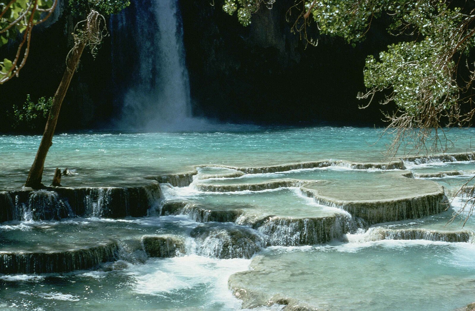

The highest falls in the Jemez Mountains, a quarter mile walk from the trailhead through ponderosa country above the Valles Caldera.
A double drop on the Rio Nambe on sovereign Nambe Pueblo land, directly below the Bureau of Reclamation dam that has set its flow since 1976.
Make a trip of it
Things to doGuided trips and experiences from local operators.
Browse on Viator Places to stay
Vacation rentals and cabins close to the water.
Browse on VrboWe may earn a commission on bookings made through these links.
Flow windows are typical-year climatology drawn from the driver and the agency language quoted above, not forecasts. Live readings and per-date percentiles are U.S. Geological Survey data, public domain; the above-or-below-typical line is our comparison and is labelled as such. Access, trail and safety information belongs to Lincoln National Forest (US Forest Service). National picture: waterfall season across the US →
Hero image: “Havasu falls Arizona” — Stolz Gary M, U.S. Fish and Wildlife Service — Public domain