
Mineral Springs Waterfall: When It Actually Flows
North Dakota's only waterfall, by the state forest service's own banner, a small spring-fed drop on the North Country Trail in the Sheyenne River valley.
Trail status, closures and safety rules belong to each falls' managing agency, named and linked on every page.
What fills Mineral Springs Waterfall, and when
The agency's claim is delightfully unambiguous, quoted below: home to North Dakota's only waterfall. It is a small falls, spring-fed off the valley wall, taller after wet spells, and the state's superlative does the marketing.
The 509-acre Sheyenne River State Forest is located 1 mile south east of Fort Ransom, ND along the Sheyenne River National Scenic Byway. Our Most Visited State Forest Trail Home to North Dakota's Only Waterfall

Current flow at Mineral Springs Waterfall
Access, in the agency's words and ours
Four miles of the North Country National Scenic Trail cross the 509 acre state forest near Fort Ransom, per the agency, with the falls a walk-in destination along it.
Current access and closures: North Dakota Forest Service (Sheyenne River State Forest).
Mineral Springs Waterfall flow season FAQ

More falls, and the rest of the North Dakota year
Make a trip of it
Making a trip to Mineral Springs Waterfall?
Things to doTours & activities near Mineral Springs Waterfall
Guided trips and experiences from local operators.
Browse on Viator Places to stay
Stays near Mineral Springs Waterfall
Vacation rentals and cabins close to the water.
Browse on VrboWe may earn a commission on bookings made through these links.
Flow windows are typical-year climatology drawn from the driver and the agency language quoted above, not forecasts. Live readings and per-date percentiles are U.S. Geological Survey data, public domain; the above-or-below-typical line is our comparison and is labelled as such. Access, trail and safety information belongs to North Dakota Forest Service (Sheyenne River State Forest). National picture: waterfall season across the US →
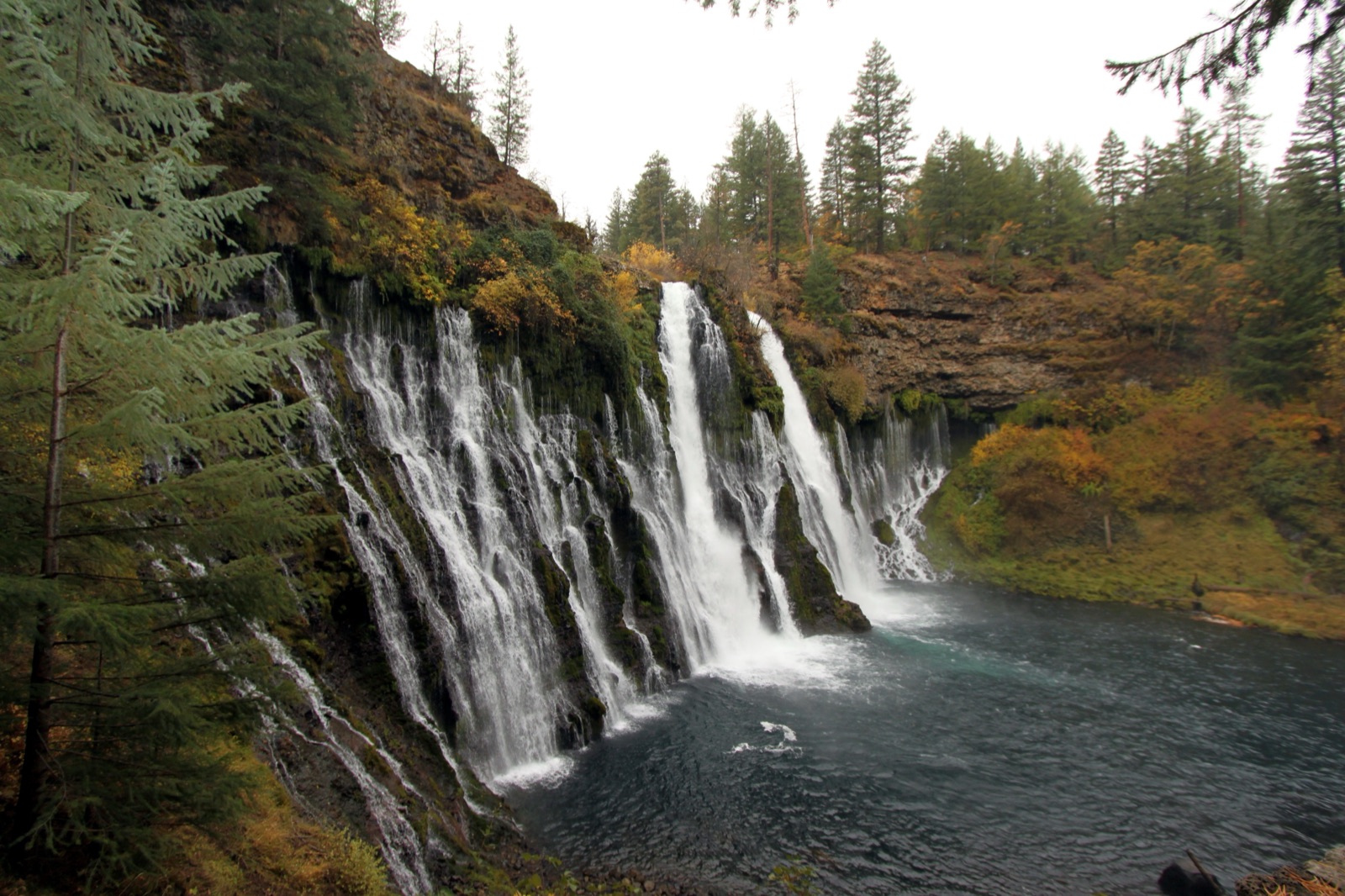
Hero image: “Burney Falls (6489840799)” by Prayitno / Thank you for (9 millions +) views from Los Angeles, USA, CC BY 2.0