Tower Fall
SnowmeltThe 132 foot drop framed by volcanic pinnacles whose Thomas Moran painting helped establish Yellowstone itself in 1872, a short walk from the Tower General Store.

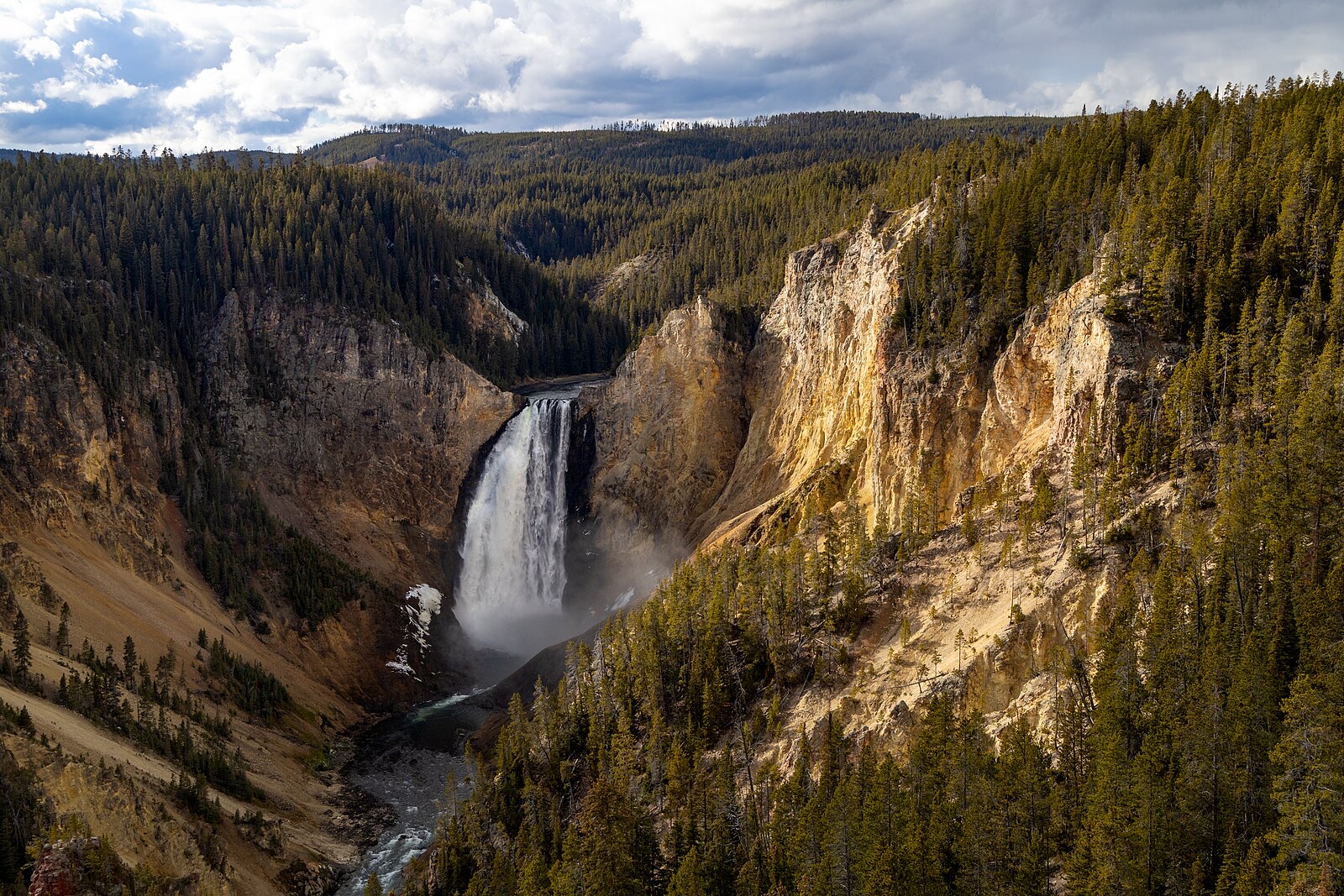
The 308 foot centerpiece of the Grand Canyon of the Yellowstone, nearly twice Niagara's height, on an undammed river that peaks with the plateau snowmelt.
Trail status, closures and safety rules belong to each falls' managing agency, named and linked on every page.
The Yellowstone is the longest undammed river in the lower 48, and its Lower Falls shows the natural calendar at full scale: the melt off the Yellowstone plateau crests in late May and June at several times the late-summer flow, then the river settles through fall. The Park Service's canyon page urges visiting at different seasons and times of day, and the winter version, viewed by snowcoach with the falls partly frozen, is its own event.
Typical best flow: Mid May through mid July
Experience the canyon from a variety of overlooks, at different times of day, and at different seasons. A number of trails and walkways wind along the rims and down partway into the canyon.
Gauge: USGS 06186500 Yellowstone River at Yellowstone Lk Outlet YNP, upstream of the falls, at the Yellowstone Lake outlet. The gauge reads the river, not the brink of the falls, so treat it as the trend line rather than a turnstile.
Source: USGS Water Services (National Water Information System). Instantaneous values and daily statistics services. U.S. Geological Survey data are works of the United States Government and are in the public domain. Gauge verified 2026-08-27.
Overlooks line both rims via North Rim and South Rim drives near Canyon Village, with trails descending partway into the canyon. The Park Service flags the Brink of the Lower Falls and Red Rock Point trails as not recommended for visitors with heart, lung or other health conditions because of the vertical descent and return climb.
Current access and closures: Yellowstone National Park (National Park Service).

The 132 foot drop framed by volcanic pinnacles whose Thomas Moran painting helped establish Yellowstone itself in 1872, a short walk from the Tower General Store.
Make a trip of it
Things to doGuided trips and experiences from local operators.
Browse on Viator Places to stay
Vacation rentals and cabins close to the water.
Browse on VrboWe may earn a commission on bookings made through these links.
Flow windows are typical-year climatology drawn from the driver and the agency language quoted above, not forecasts. Live readings and per-date percentiles are U.S. Geological Survey data, public domain; the above-or-below-typical line is our comparison and is labelled as such. Access, trail and safety information belongs to Yellowstone National Park (National Park Service). National picture: waterfall season across the US →
Hero image: “Afternoon fall light on Lower Falls from Lookout Point (54937071695)” — YellowstoneNPS — Public domain