Lower Falls of the Yellowstone
SnowmeltThe 308 foot centerpiece of the Grand Canyon of the Yellowstone, nearly twice Niagara's height, on an undammed river that peaks with the plateau snowmelt.

The 132 foot drop framed by volcanic pinnacles whose Thomas Moran painting helped establish Yellowstone itself in 1872, a short walk from the Tower General Store.
Trail status, closures and safety rules belong to each falls' managing agency, named and linked on every page.
Tower Creek is a modest snowmelt stream, so the fall runs biggest with the plateau melt from mid May into July and slims through late summer. Unlike the mainstem Lower Falls, this one visibly feels the season; the overlook view in June and the one in September are noticeably different waterfalls.
Typical best flow: Mid May through mid July
The 132-foot (40-m) drop of Tower Creek, framed by eroded volcanic pinnacles has been documented by park visitors from the earliest trips of Europeans into the Yellowstone region. Its idyllic setting has inspired numerous artists, including Thomas Moran. His painting of Tower Fall played a role in the establishment of Yellowstone National Park in 1872.
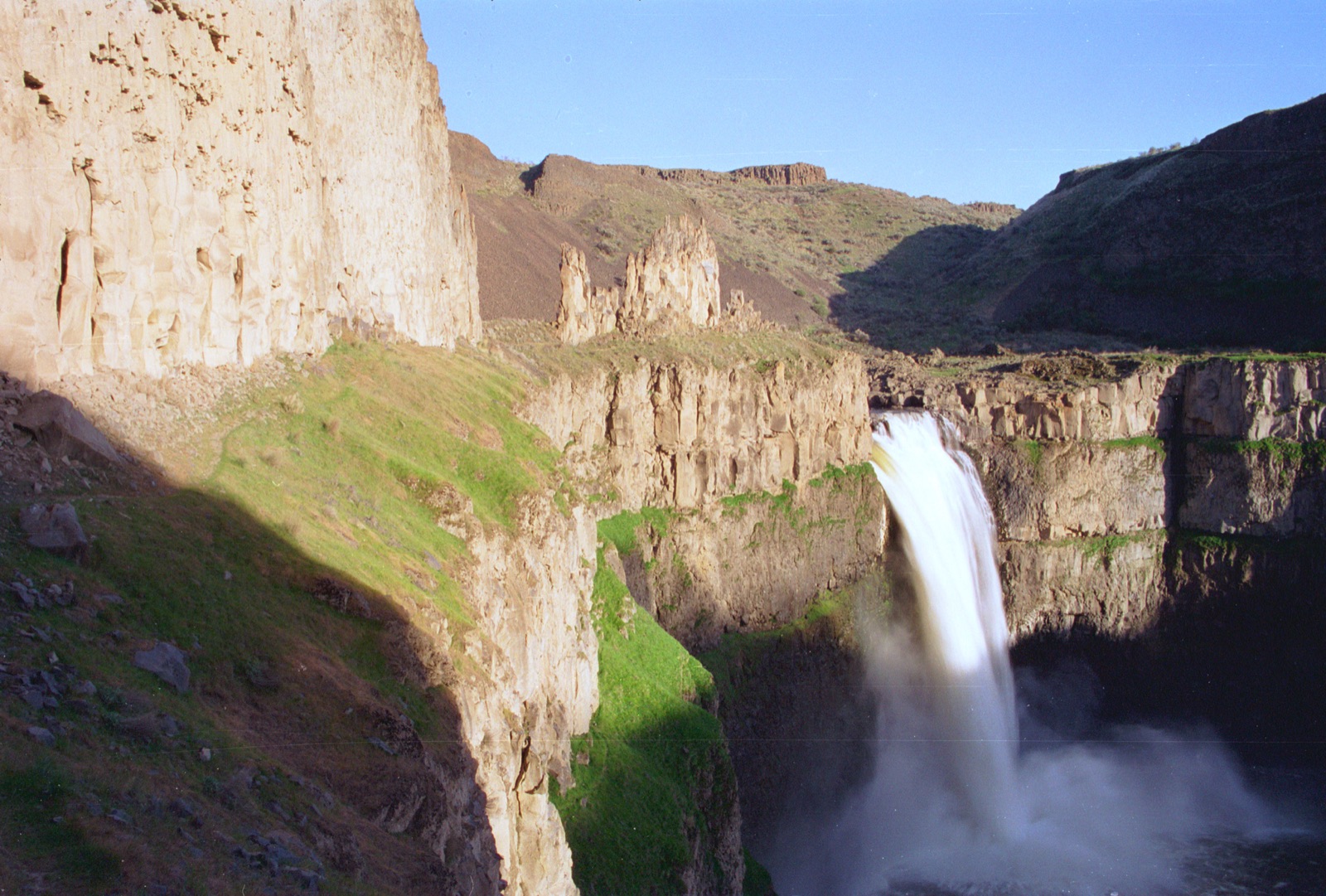
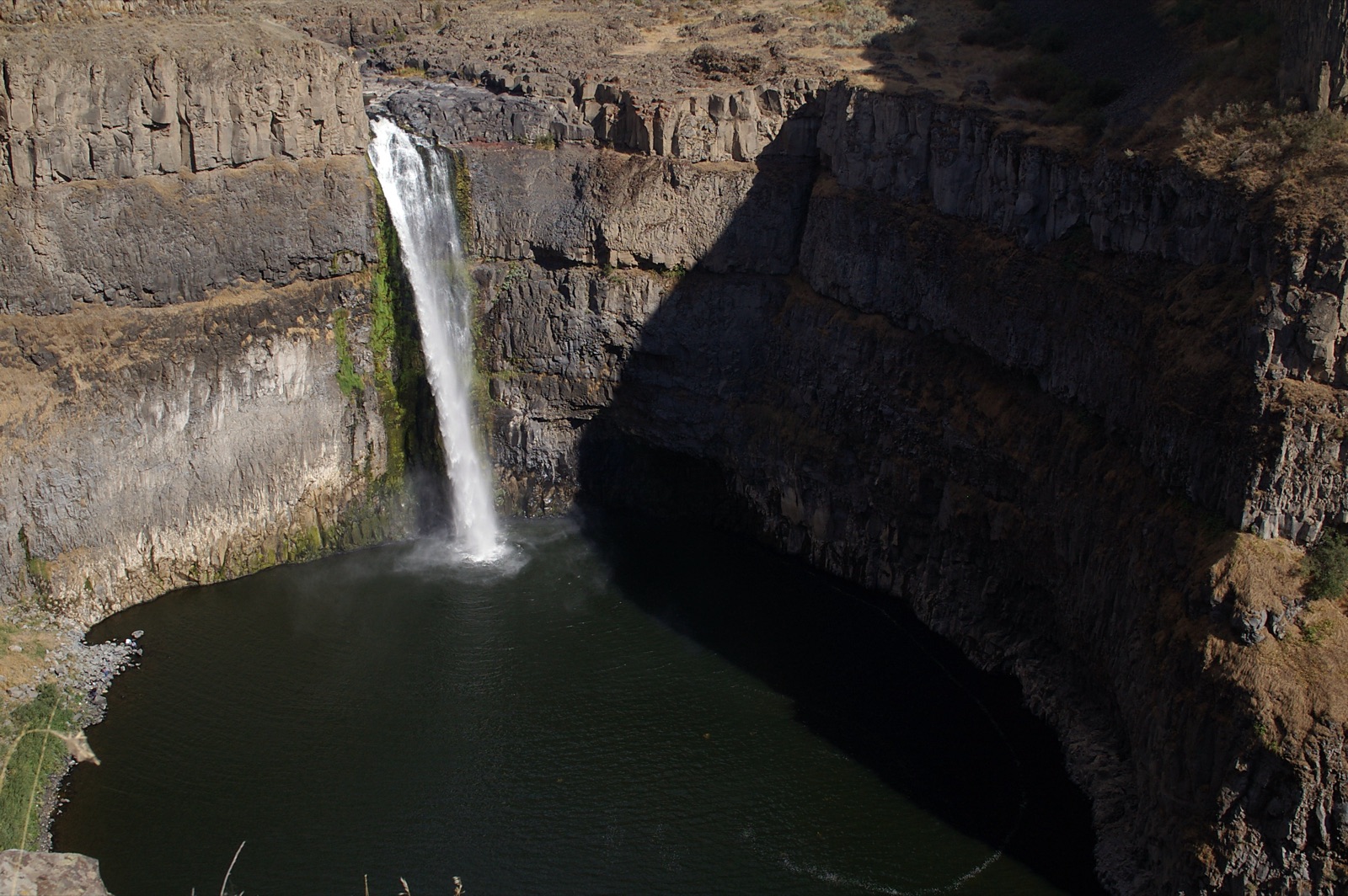
The fall is visible from an overlook near the Tower General Store, per the Park Service. The lower trail to the base has been closed for years due to severe erosion; the walkable stretch past the overlook ends with a view of Tower Creek meeting the Yellowstone River.
Current access and closures: Yellowstone National Park (National Park Service).
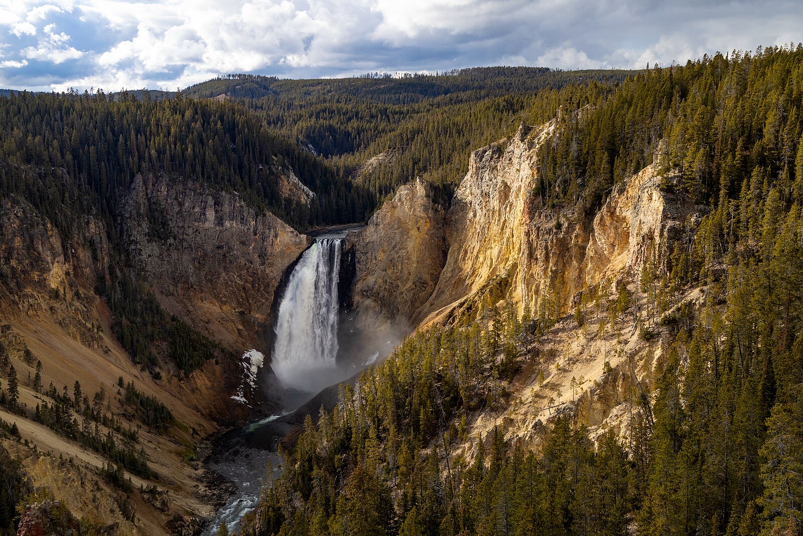

The 308 foot centerpiece of the Grand Canyon of the Yellowstone, nearly twice Niagara's height, on an undammed river that peaks with the plateau snowmelt.
Make a trip of it
Things to doGuided trips and experiences from local operators.
Browse on Viator Places to stay
Vacation rentals and cabins close to the water.
Browse on VrboWe may earn a commission on bookings made through these links.
Flow windows are typical-year climatology drawn from the driver and the agency language quoted above, not forecasts. Live readings and per-date percentiles are U.S. Geological Survey data, public domain; the above-or-below-typical line is our comparison and is labelled as such. Access, trail and safety information belongs to Yellowstone National Park (National Park Service). National picture: waterfall season across the US →
Hero image: “Afternoon fall light on Lower Falls from Lookout Point (54937071695)” — YellowstoneNPS — Public domain