Yosemite Falls
SnowmeltThe tallest waterfall in North America by the Park Service's measure, and the most famous seasonal one: 2,425 feet of snowmelt that thunders in May and is often gone by August.

The winter-only fall off El Capitan that catches sunset in mid to late February and appears to burn: the famous natural firefall, gone entirely by summer.
Trail status, closures and safety rules belong to each falls' managing agency, named and linked on every page.
Horsetail Fall inverts the usual Yosemite calendar. Its tiny drainage holds no summer water at all; the Park Service lists it flowing approximately December through April only. The spectacle is mid to late February, when sunset light hits the ribbon at the right angle and the fall appears to be on fire, an event that now draws managed crowds.
Typical best flow: December through April
Horsetail Fall is famous for appearing to be on fire when it reflects the orange glow of sunset in mid- to late February. It falls off of the east side of El Capitan and is best seen from just east of El Capitan.
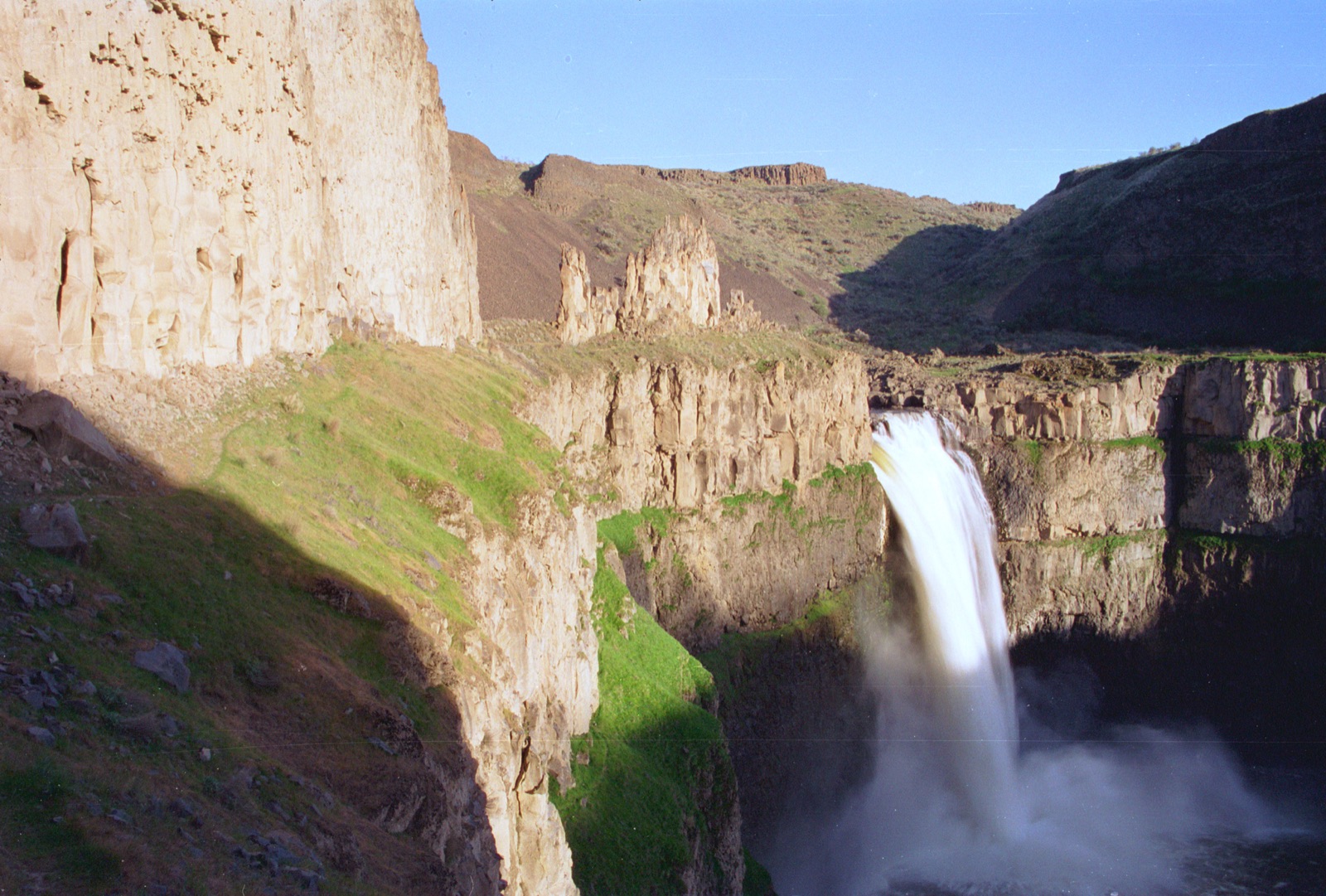
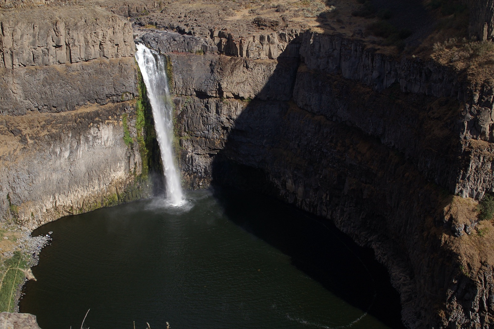
Best seen from just east of El Capitan, per the Park Service. February firefall viewing has brought parking and access restrictions in recent years; check the park site for the current rules before a February trip.
Current access and closures: Yosemite National Park (National Park Service).

The tallest waterfall in North America by the Park Service's measure, and the most famous seasonal one: 2,425 feet of snowmelt that thunders in May and is often gone by August.
The 620 foot fall at the gateway of Yosemite Valley: a thundering column in spring, a light swaying veil the rest of the year, and one of the few Yosemite falls that never quite quits.
The 317 foot Merced River step on the Mist Trail, wide as a curtain in June and narrowed to ribbons by late summer; the mist that names the trail is a spring-only drenching.
The 594 foot upper step of the Merced staircase above Vernal Fall, at its loudest in late May and June and visible from Glacier Point when the road is open.
Make a trip of it
Things to doGuided trips and experiences from local operators.
Browse on Viator Places to stay
Vacation rentals and cabins close to the water.
Browse on VrboWe may earn a commission on bookings made through these links.
Flow windows are typical-year climatology drawn from the driver and the agency language quoted above, not forecasts. Live readings and per-date percentiles are U.S. Geological Survey data, public domain; the above-or-below-typical line is our comparison and is labelled as such. Access, trail and safety information belongs to Yosemite National Park (National Park Service). National picture: waterfall season across the US →
Hero image: “Tourists below Yosemite Falls (39832011431)” by Mike McBey, CC BY 2.0