Clifty Falls
Rain fedThe canyon falls of Madison, Indiana, whose DNR says the quiet part beautifully: winter and spring reveal them at their best, from roaring plunges to frozen titans.

Indiana's big water: upper and lower falls on Mill Creek beside a covered bridge, above the reservoir, so the flow is still the creek's own weather.
Trail status, closures and safety rules belong to each falls' managing agency, named and linked on every page.
Mill Creek feeds Cagles Mill Lake, Indiana's first flood control reservoir, but the falls sit upstream of the pool, so what comes over is natural rain-and-melt flow, hundreds of cfs in spring at the gauge upstream and a fraction of that by fall. The two drops and the 1876 covered bridge make it the state's flagship falls stop.
Typical best flow: March through mid June
In 1952, Cagles Mill Lake was built as Indiana's first flood control reservoir, protecting the Eel and White river watersheds. Mill Creek feeds the 1,400-acre lake and is home to beautiful Cataract Falls.

Gauge: USGS 03358000 Mill Creek near Cataract IN, upstream of the falls on the same creek. The gauge reads the river, not the brink of the falls, so treat it as the trend line rather than a turnstile.
Source: USGS Water Services (National Water Information System). Instantaneous values and daily statistics services. U.S. Geological Survey data are works of the United States Government and are in the public domain. Gauge verified 2026-08-27.

The Cataract Falls State Recreation Area serves both falls with short walks and overlooks, per Indiana DNR, whose property map states plainly that swimming is prohibited anywhere along the creek and waterfalls.
Current access and closures: Cataract Falls State Recreation Area, Cagles Mill Lake (Indiana DNR).
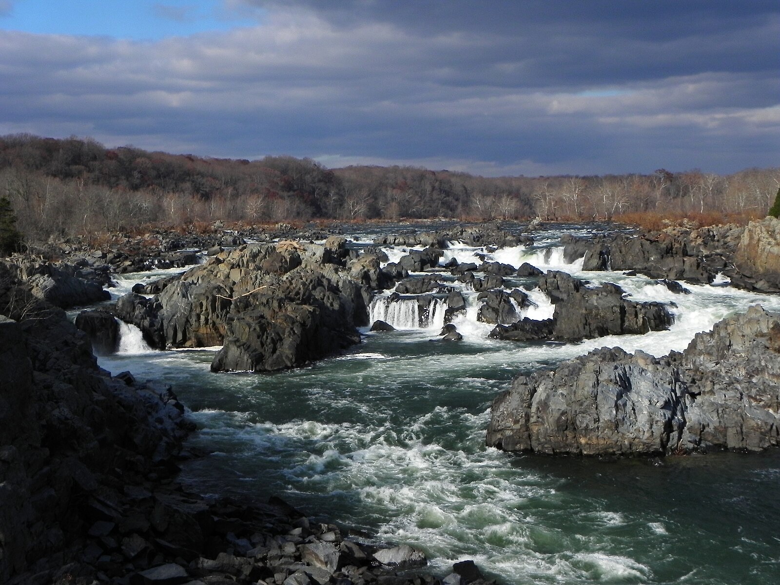

The canyon falls of Madison, Indiana, whose DNR says the quiet part beautifully: winter and spring reveal them at their best, from roaring plunges to frozen titans.
Make a trip of it
Things to doGuided trips and experiences from local operators.
Browse on Viator Places to stay
Vacation rentals and cabins close to the water.
Browse on VrboWe may earn a commission on bookings made through these links.
Flow windows are typical-year climatology drawn from the driver and the agency language quoted above, not forecasts. Live readings and per-date percentiles are U.S. Geological Survey data, public domain; the above-or-below-typical line is our comparison and is labelled as such. Access, trail and safety information belongs to Cataract Falls State Recreation Area, Cagles Mill Lake (Indiana DNR). National picture: waterfall season across the US →
Hero image: “Great Falls of the Potomac River in November, 2012” — National Park Service — Public domain