Fossil Creek Falls
Spring fedA travertine falls on a creek that got its river back: 30 million gallons a day of 70 degree spring water, restored when the century-old hydro diversion was retired.

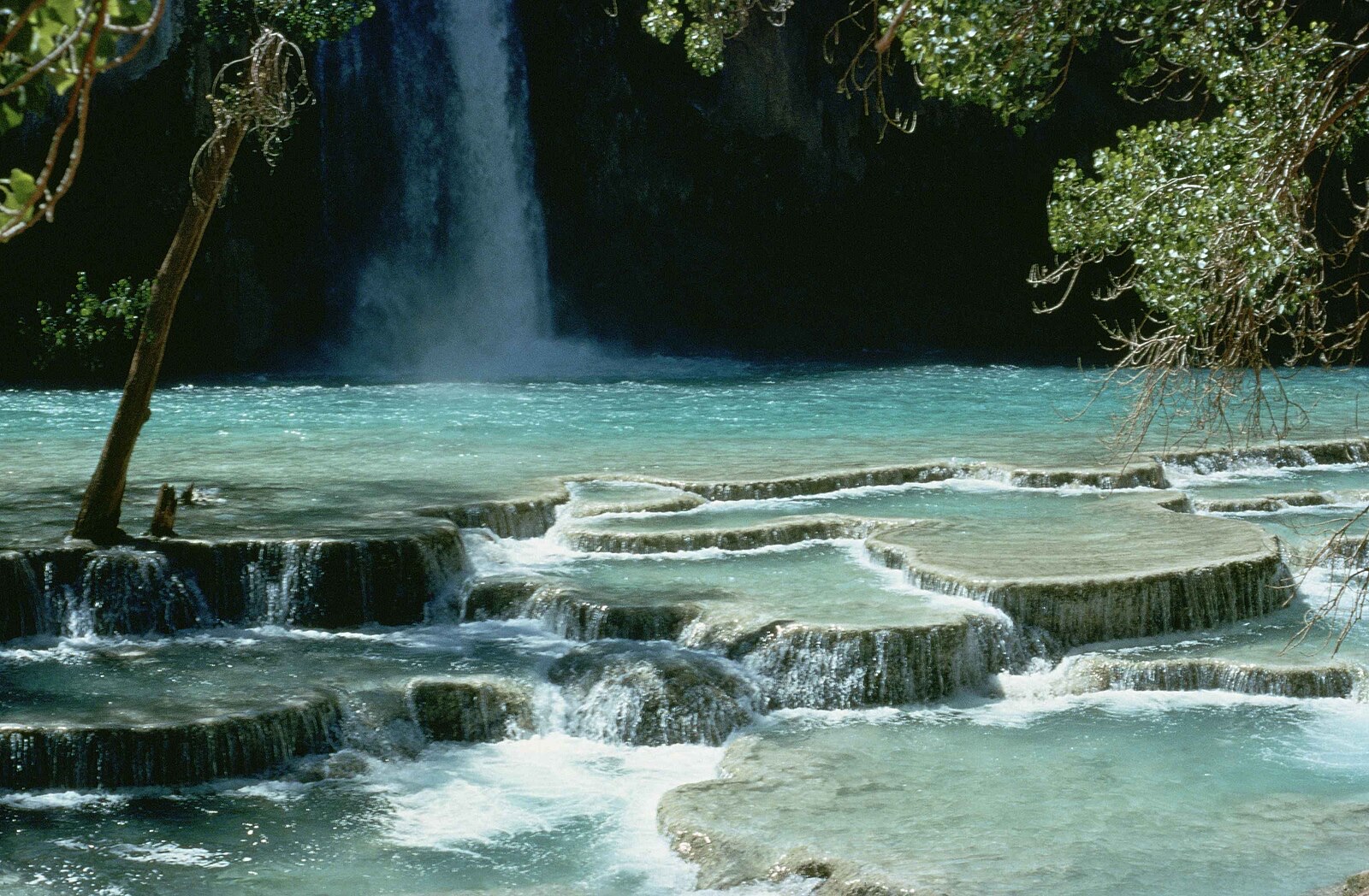
The blue green icon of Havasu Canyon on sovereign Havasupai land: aquifer-fed water over travertine, reachable only with a tribal permit and an eight mile hike past Supai.
Trail status, closures and safety rules belong to each falls' managing agency, named and linked on every page.
Havasu Creek pours out of a hidden limestone aquifer, in the Havasupai Tribe's own words, which is why the blue green water and its travertine terraces hold their color and flow in every season. The people of the blue green water have lived here since time immemorial; the falls is on their sovereign land, outside Grand Canyon National Park, and visiting it is a privilege the tribe extends by permit, on their terms.
The Havasupai Tribe, the People of the Blue Green Water, have lived in and around the Grand Canyon since time immemorial. The Havasupai Tribe is a federally recognized Indian tribe. Their existence thrives on the life-sustaining blue-green waters from a hidden limestone aquifer, enabling cultivation and resilience in the harsh desert environment.
Gauge: USGS 09404115 Havasu Creek above the mouth near Supai AZ, downstream of the falls, near the Colorado River confluence. The gauge reads the river, not the brink of the falls, so treat it as the trend line rather than a turnstile.
Source: USGS Water Services (National Water Information System). Instantaneous values and daily statistics services. U.S. Geological Survey data are works of the United States Government and are in the public domain. Gauge verified 2026-08-27.

A Havasupai tourism permit is required for entry, booked only through the tribe's reservation site; entering without a permit and wristband is trespassing, per the tribe. There is no road to Supai and no day hiking, per the National Park Service: the trip is an eight mile hike to the village, two more to the campground, on a multi-day reservation.
Current access and closures: Havasupai Tribe (Havasupai Reservations).

A travertine falls on a creek that got its river back: 30 million gallons a day of 70 degree spring water, restored when the century-old hydro diversion was retired.
Tucson's desert cascade: seven pools stacked in Bear Canyon, flowing after winter rains and monsoon bursts, dry-ish in between, and reached across numerous stream crossings.
Make a trip of it
Things to doGuided trips and experiences from local operators.
Browse on Viator Places to stay
Vacation rentals and cabins close to the water.
Browse on VrboWe may earn a commission on bookings made through these links.
Flow windows are typical-year climatology drawn from the driver and the agency language quoted above, not forecasts. Live readings and per-date percentiles are U.S. Geological Survey data, public domain; the above-or-below-typical line is our comparison and is labelled as such. Access, trail and safety information belongs to Havasupai Tribe (Havasupai Reservations). National picture: waterfall season across the US →
Hero image: “Havasu falls Arizona” — Stolz Gary M, U.S. Fish and Wildlife Service — Public domain