Havasu Falls
Spring fedThe blue green icon of Havasu Canyon on sovereign Havasupai land: aquifer-fed water over travertine, reachable only with a tribal permit and an eight mile hike past Supai.

Tucson's desert cascade: seven pools stacked in Bear Canyon, flowing after winter rains and monsoon bursts, dry-ish in between, and reached across numerous stream crossings.
Trail status, closures and safety rules belong to each falls' managing agency, named and linked on every page.
Bear Creek is a Sonoran Desert stream, and the Forest Service's trail description carries the operative phrase: when the water is running, your feet will get wet. Winter rains from February to mid April are the reliable window, with the summer monsoon adding violent, brief encores. Between weather systems the falls can shrink to standing pools. Our rain-fed label reflects that regime; no gauge sits on Bear Creek itself, so let recent Tucson weather be your forecast.
Typical best flow: February through mid April
The Seven Falls trail is a subsection of Bear Canyon #29. This popular trail is out and back across numerous streams and rugged terrain. Without using the shuttle service, the hike is approximately 8.5 miles round trip from the Sabino Canyon Visitor Center.


The hike runs about 8.5 miles round trip from the Sabino Canyon Visitor Center across numerous stream crossings, per the Forest Service, with a seasonal Bear Canyon shuttle cutting off around four miles. Parking requires a day or interagency pass.
Current access and closures: Coronado National Forest (US Forest Service).
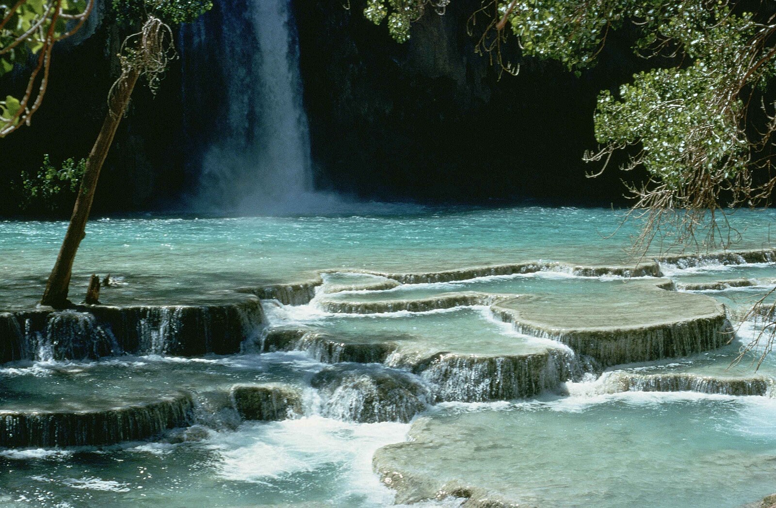

The blue green icon of Havasu Canyon on sovereign Havasupai land: aquifer-fed water over travertine, reachable only with a tribal permit and an eight mile hike past Supai.
A travertine falls on a creek that got its river back: 30 million gallons a day of 70 degree spring water, restored when the century-old hydro diversion was retired.
Make a trip of it
Things to doGuided trips and experiences from local operators.
Browse on Viator Places to stay
Vacation rentals and cabins close to the water.
Browse on VrboWe may earn a commission on bookings made through these links.
Flow windows are typical-year climatology drawn from the driver and the agency language quoted above, not forecasts. Live readings and per-date percentiles are U.S. Geological Survey data, public domain; the above-or-below-typical line is our comparison and is labelled as such. Access, trail and safety information belongs to Coronado National Forest (US Forest Service). National picture: waterfall season across the US →
Hero image: “Havasu falls Arizona” — Stolz Gary M, U.S. Fish and Wildlife Service — Public domain