Kootenai Falls
Flow controlledThe last undammed falls on the Kootenai River and one of the largest free flowing falls in the Northwest, dropping 90 feet in under a mile below a swinging bridge, on flow released from Libby Dam.

The payoff of a National Recreation Trail along Holland Lake in the Swan Valley: a mountain creek falls framed by the Mission and Swan ranges.
Trail status, closures and safety rules belong to each falls' managing agency, named and linked on every page.
Holland Creek gathers snowmelt off the Swan Range, so the falls peaks in late spring and early summer and quiets through August. Our snowmelt label is editorial; the Forest Service page describes the trail rather than the hydrograph. The lakeshore walk makes this one worth doing at any flow.
Typical best flow: Mid May through mid July
The trailhead for the popular and easy Holland Falls National Recreation Trail is near the campground. The 1.6-mile trail climbs 750 feet, following the shoreline of Holland Lake to the base of Holland Falls waterfall.

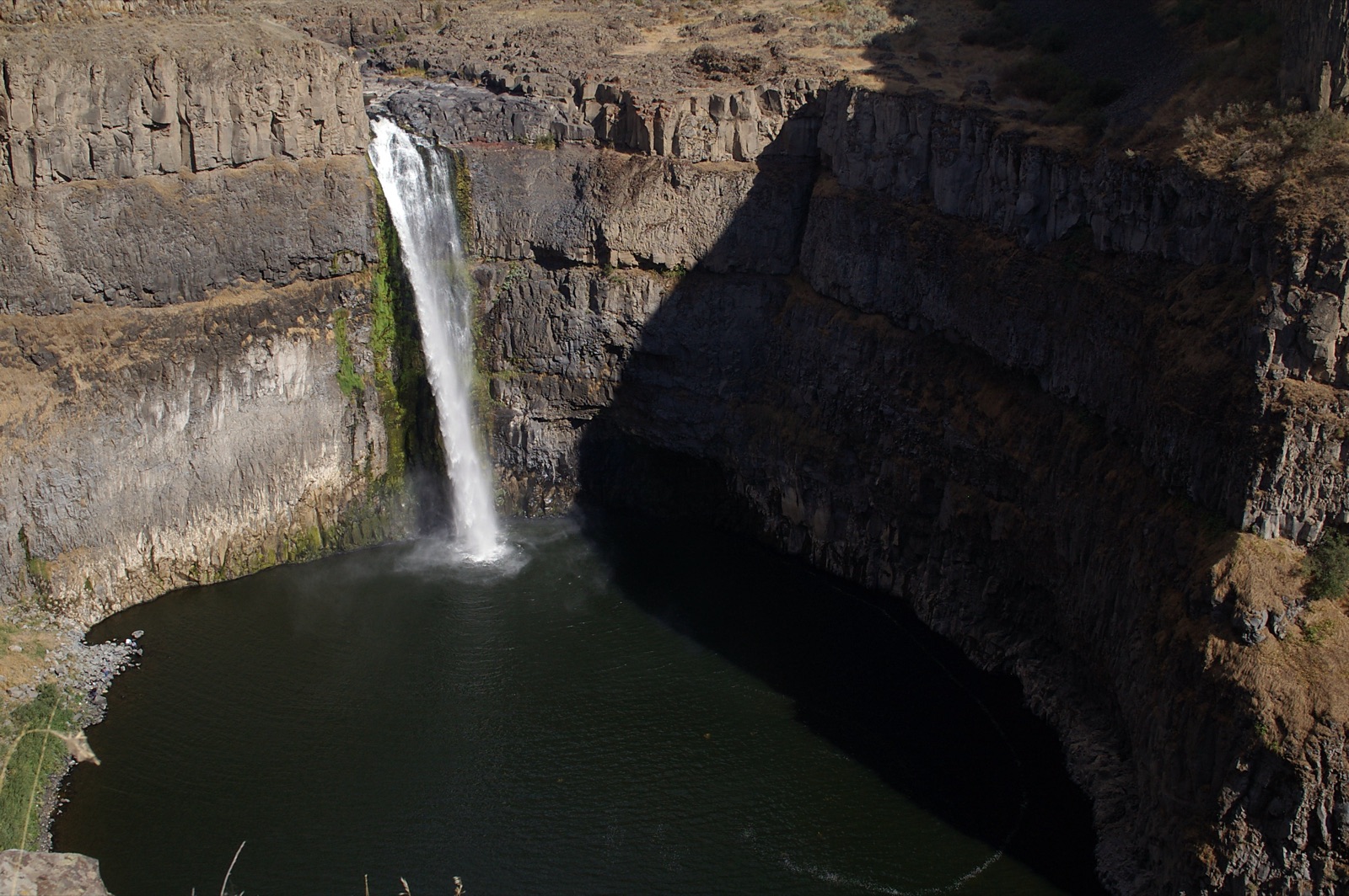
The Holland Falls National Recreation Trail runs 1.6 miles and climbs 750 feet along the Holland Lake shoreline to the base of the falls, per the Forest Service, from a trailhead near the campground about 25 miles from Seeley Lake.
Current access and closures: Flathead National Forest (US Forest Service).
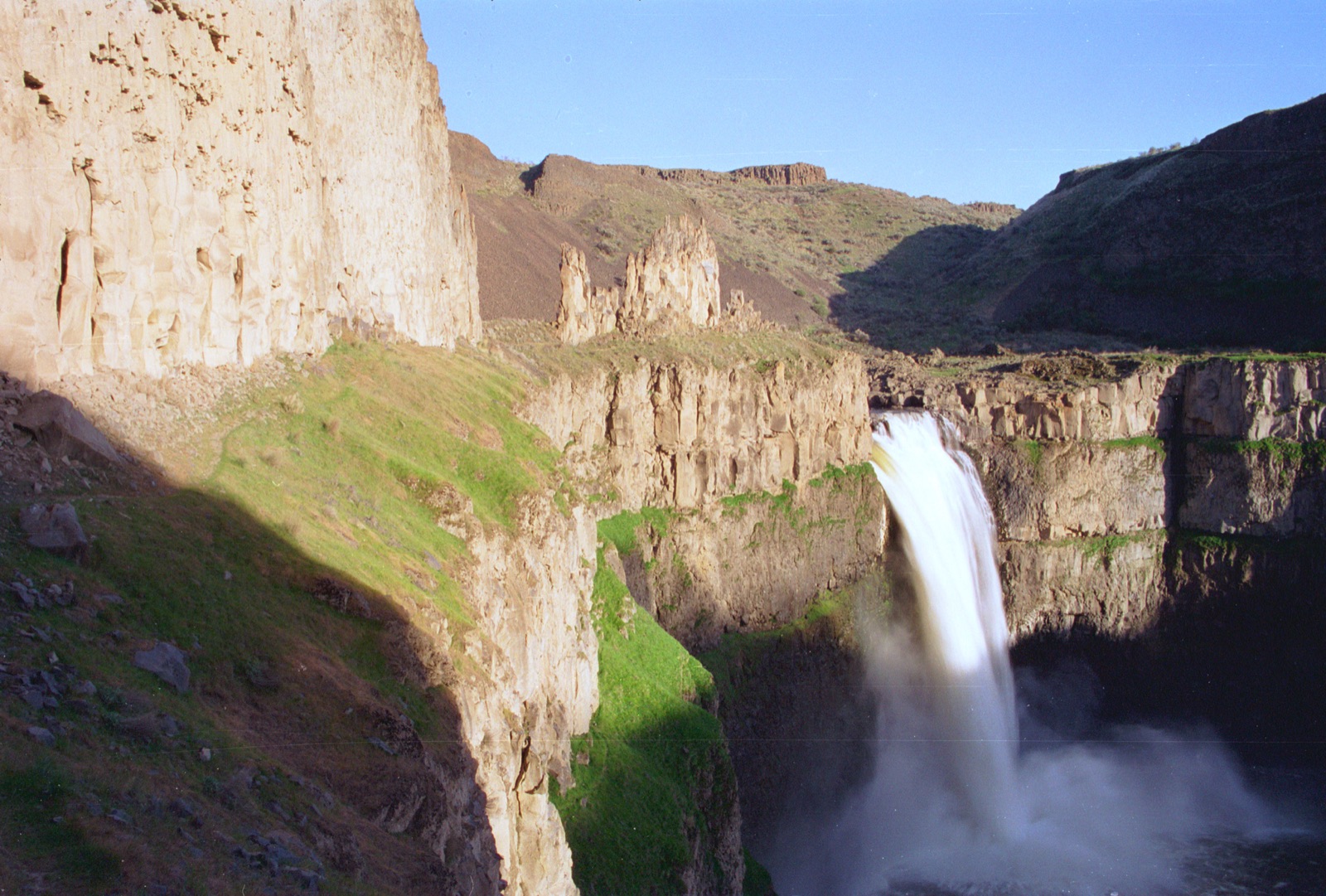

The last undammed falls on the Kootenai River and one of the largest free flowing falls in the Northwest, dropping 90 feet in under a mile below a swinging bridge, on flow released from Libby Dam.
Bozeman's paved-trail falls in Hyalite Canyon, pouring off a wall of columnar basalt at the head of a half mile fully accessible path.
Make a trip of it
Things to doGuided trips and experiences from local operators.
Browse on Viator Places to stay
Vacation rentals and cabins close to the water.
Browse on VrboWe may earn a commission on bookings made through these links.
Flow windows are typical-year climatology drawn from the driver and the agency language quoted above, not forecasts. Live readings and per-date percentiles are U.S. Geological Survey data, public domain; the above-or-below-typical line is our comparison and is labelled as such. Access, trail and safety information belongs to Flathead National Forest (US Forest Service). National picture: waterfall season across the US →
Hero image: “04-15-14-palouse” — Dsdugan — CC0