Kootenai Falls
Flow controlledThe last undammed falls on the Kootenai River and one of the largest free flowing falls in the Northwest, dropping 90 feet in under a mile below a swinging bridge, on flow released from Libby Dam.

Bozeman's paved-trail falls in Hyalite Canyon, pouring off a wall of columnar basalt at the head of a half mile fully accessible path.
Trail status, closures and safety rules belong to each falls' managing agency, named and linked on every page.
Palisade Falls drains high snowfields in the Gallatin Range, so the water follows the melt: loud from mid May into July, mellow by fall, and in winter a celebrated ice climb. Our snowmelt label is editorial; the Forest Service page covers the trail. The access road opens with the season, May 16 to December 31, weather dependent, per the agency.
Typical best flow: Mid May through mid July
Popular 1/2 mile nature trail, fully accessible and paved, providing views to Palisade Falls. Picnic area and accessible vault toilet at trailhead. No drinking water available.
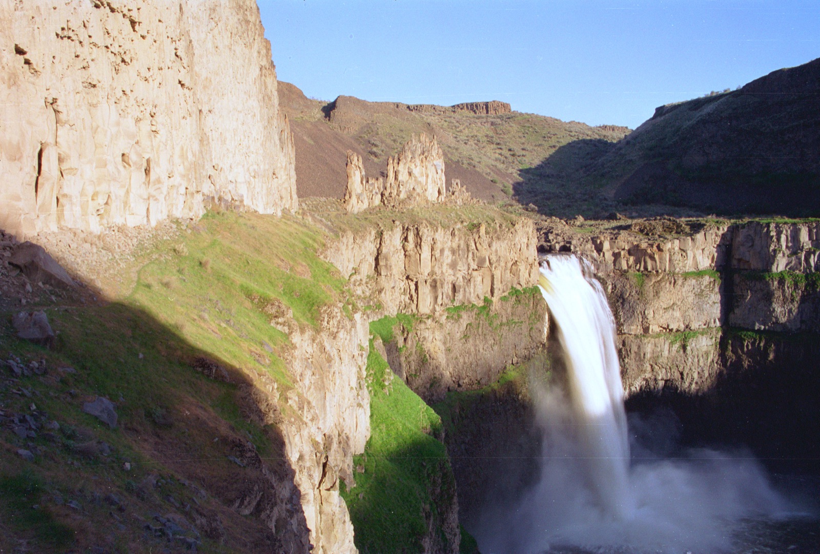
Gauge: USGS 06050000 Hyalite C at Hyalite R S nr Bozeman MT, downstream in the same drainage, below Hyalite Reservoir, so partly reservoir influenced. The gauge reads the river, not the brink of the falls, so treat it as the trend line rather than a turnstile.
Source: USGS Water Services (National Water Information System). Instantaneous values and daily statistics services. U.S. Geological Survey data are works of the United States Government and are in the public domain. Gauge verified 2026-08-27.
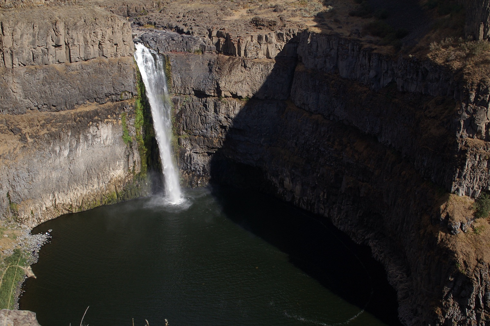
The half mile nature trail is paved and fully accessible with a picnic area and vault toilet at the trailhead, per the Forest Service, about 20 miles south of Bozeman up Hyalite Canyon Road; the last mile of forest road operates seasonally.
Current access and closures: Custer Gallatin National Forest (US Forest Service).
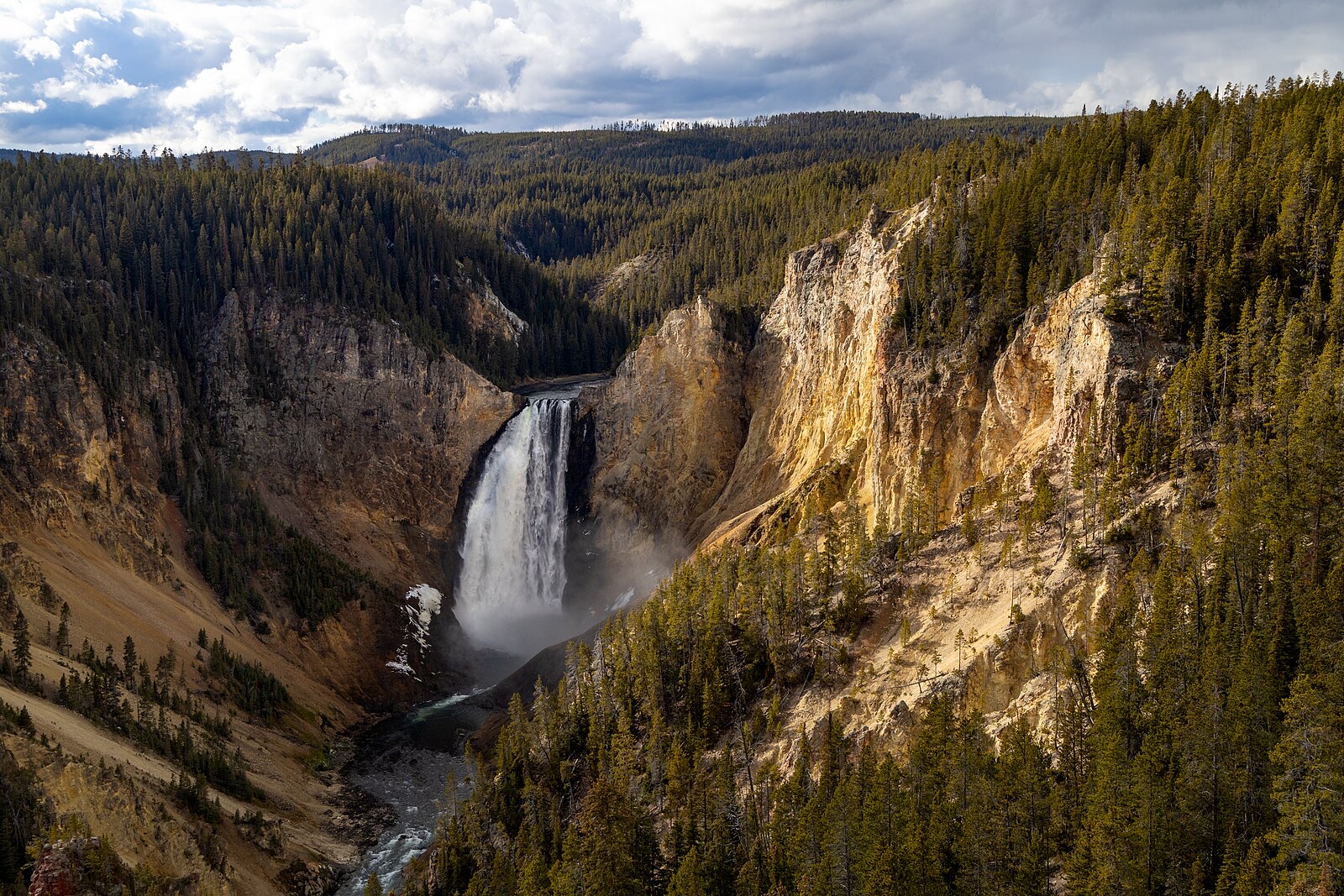

The last undammed falls on the Kootenai River and one of the largest free flowing falls in the Northwest, dropping 90 feet in under a mile below a swinging bridge, on flow released from Libby Dam.
The payoff of a National Recreation Trail along Holland Lake in the Swan Valley: a mountain creek falls framed by the Mission and Swan ranges.
Make a trip of it
Things to doGuided trips and experiences from local operators.
Browse on Viator Places to stay
Vacation rentals and cabins close to the water.
Browse on VrboWe may earn a commission on bookings made through these links.
Flow windows are typical-year climatology drawn from the driver and the agency language quoted above, not forecasts. Live readings and per-date percentiles are U.S. Geological Survey data, public domain; the above-or-below-typical line is our comparison and is labelled as such. Access, trail and safety information belongs to Custer Gallatin National Forest (US Forest Service). National picture: waterfall season across the US →
Hero image: “Afternoon fall light on Lower Falls from Lookout Point (54937071695)” — YellowstoneNPS — Public domain