Kent Falls
SnowmeltConnecticut's showpiece: 250 feet of cascades stepping down to the Housatonic, with the state's own page saying exactly when to come, spring snowmelt, and when else, right after a storm.

A broad river ledge drop in central Connecticut, the burly counterpart to Kent's lace, with a live gauge upstream on its own river.
Trail status, closures and safety rules belong to each falls' managing agency, named and linked on every page.
The Coginchaug is a low-elevation river that runs on rain with a modest snowmelt bump, so Big Falls is widest from March through May and after storms, settling to a genteel curtain in dry stretches. The Middlefield gauge upstream reads the same water a few minutes before it goes over.
Typical best flow: March through May
Wadsworth Falls, designated as a state park in 1942, offers visitors 4.5 miles of trails for hiking or biking as well as scenic views of the namesake falls.

Gauge: USGS 01192883 Coginchaug River at Middlefield CT, upstream of the falls on the same river. The gauge reads the river, not the brink of the falls, so treat it as the trend line rather than a turnstile.
Source: USGS Water Services (National Water Information System). Instantaneous values and daily statistics services. U.S. Geological Survey data are works of the United States Government and are in the public domain. Gauge verified 2026-08-27.

The falls area is intended for short visits to view the scenic falls, in the park's words, with swimming and picnicking prohibited there; the park proper offers 4.5 miles of trails and a separate designated swimming area.
Current access and closures: Wadsworth Falls State Park (Connecticut State Parks).

Connecticut's showpiece: 250 feet of cascades stepping down to the Housatonic, with the state's own page saying exactly when to come, spring snowmelt, and when else, right after a storm.
Make a trip of it
Things to doGuided trips and experiences from local operators.
Browse on Viator Places to stay
Vacation rentals and cabins close to the water.
Browse on VrboWe may earn a commission on bookings made through these links.
Flow windows are typical-year climatology drawn from the driver and the agency language quoted above, not forecasts. Live readings and per-date percentiles are U.S. Geological Survey data, public domain; the above-or-below-typical line is our comparison and is labelled as such. Access, trail and safety information belongs to Wadsworth Falls State Park (Connecticut State Parks). National picture: waterfall season across the US →
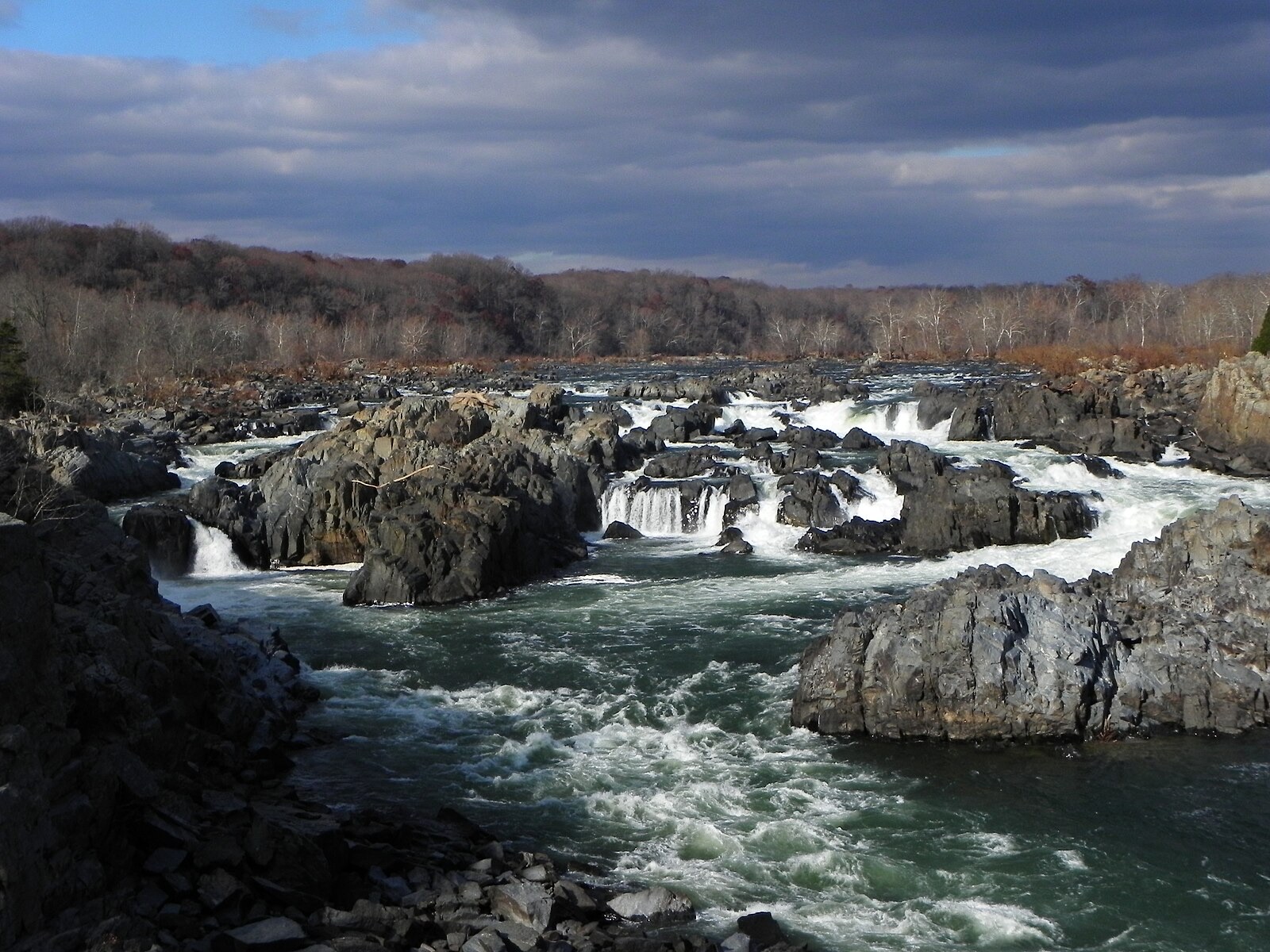
Hero image: “Great Falls of the Potomac River in November, 2012” — National Park Service — Public domain