Tallulah Gorge Falls
Flow controlledFive waterfalls in a gorge two miles long and nearly 1,000 feet deep, where the flow is set by a published dam release schedule rather than by weather.

A 729-foot cascade the park calls the third highest east of the Mississippi, with a stair climb beside the water.
Trail status, closures and safety rules belong to each falls' managing agency, named and linked on every page.
A rain-fed north Georgia creek. Spring is the reliable season; the cascade thins noticeably in a dry late summer, though the height keeps it worth the stairs.
Typical best flow: March through May
a magnificent 729-foot waterfall that\u2019s the third-highest cascading waterfall east of the Mississippi River.


Stairs climb alongside the cascade with viewing platforms; a road reaches the top for a shorter walk.
Current access and closures: Amicalola Falls State Park (Georgia State Parks).

Five waterfalls in a gorge two miles long and nearly 1,000 feet deep, where the flow is set by a published dam release schedule rather than by weather.
Make a trip of it
Things to doGuided trips and experiences from local operators.
Browse on Viator Places to stay
Vacation rentals and cabins close to the water.
Browse on VrboWe may earn a commission on bookings made through these links.
Flow windows are typical-year climatology drawn from the driver and the agency language quoted above, not forecasts. Live readings and per-date percentiles are U.S. Geological Survey data, public domain; the above-or-below-typical line is our comparison and is labelled as such. Access, trail and safety information belongs to Amicalola Falls State Park (Georgia State Parks). National picture: waterfall season across the US →
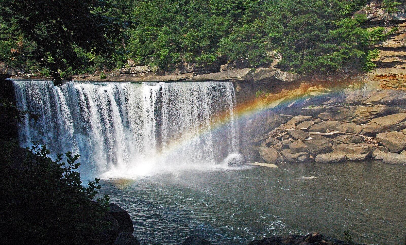
Hero image: “Cumberland Falls rainbow” by James St. John, CC BY 2.0