Smith Falls
Spring fedNebraska's tallest waterfall at 63 feet, a groundwater-fed ribbon dropping to the Niobrara in a state park reached by footbridge from the national scenic river corridor.

A 45 foot spring-fed falls on the Fort Niobrara refuge, reached by metal stairways to the canyon floor, with bison and elk country above.
Trail status, closures and safety rules belong to each falls' managing agency, named and linked on every page.
Fort Falls runs on the same groundwater plumbing as Smith Falls downstream: steady spring flow off the Niobrara canyon wall, indifferent to Sandhills drought. The US Fish and Wildlife Service serves it with a short stairway loop and the wildlife drive.
The Fort Falls Upper Trailhead in the Fort Niobrara National Wildlife Refuge quickly leads hikers down to the canyon floor using metal walkways and stairs.

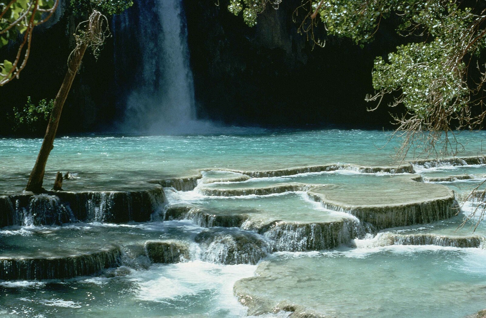
The Fort Falls trail descends quickly to the canyon floor via metal walkways and stairs, per the refuge, on a loop of under a mile; the visitor center operates weekdays.
Current access and closures: Fort Niobrara National Wildlife Refuge (US Fish and Wildlife Service).
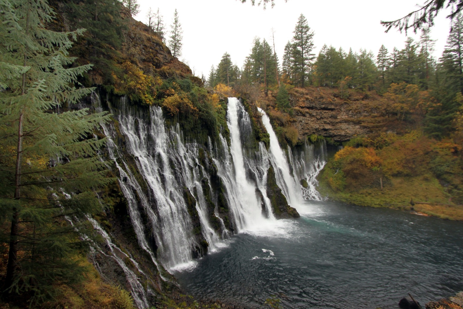

Nebraska's tallest waterfall at 63 feet, a groundwater-fed ribbon dropping to the Niobrara in a state park reached by footbridge from the national scenic river corridor.
Make a trip of it
Things to doGuided trips and experiences from local operators.
Browse on Viator Places to stay
Vacation rentals and cabins close to the water.
Browse on VrboWe may earn a commission on bookings made through these links.
Flow windows are typical-year climatology drawn from the driver and the agency language quoted above, not forecasts. Live readings and per-date percentiles are U.S. Geological Survey data, public domain; the above-or-below-typical line is our comparison and is labelled as such. Access, trail and safety information belongs to Fort Niobrara National Wildlife Refuge (US Fish and Wildlife Service). National picture: waterfall season across the US →
Hero image: “Burney Falls (6489840799)” by Prayitno / Thank you for (9 millions +) views from Los Angeles, USA, CC BY 2.0