Fort Falls
Spring fedA 45 foot spring-fed falls on the Fort Niobrara refuge, reached by metal stairways to the canyon floor, with bison and elk country above.

Nebraska's tallest waterfall at 63 feet, a groundwater-fed ribbon dropping to the Niobrara in a state park reached by footbridge from the national scenic river corridor.
Trail status, closures and safety rules belong to each falls' managing agency, named and linked on every page.
Smith Falls pours off the Niobrara valley wall on spring-fed water, steady through the seasons while the canoe river below swells and shrinks; the Sparks gauge on this page reads the float trip, not the falls. The Park Service's place page, which co-documents the state park, supplies the tallest-in-Nebraska superlative verbatim.
Smith Falls is an iconic waterfall in the State of Nebraska. It is the tallest waterfall in the state at 63 feet tall and has been a popular stop for floaters and visitors of the Niobrara River Valley for many years.

Gauge: USGS 06461500 Niobrara River near Sparks NE, on the Niobrara mainstem upstream of the park; it reads the canoe river, not the spring-fed falls. The gauge reads the river, not the brink of the falls, so treat it as the trend line rather than a turnstile.
Source: USGS Water Services (National Water Information System). Instantaneous values and daily statistics services. U.S. Geological Survey data are works of the United States Government and are in the public domain. Gauge verified 2026-08-27.
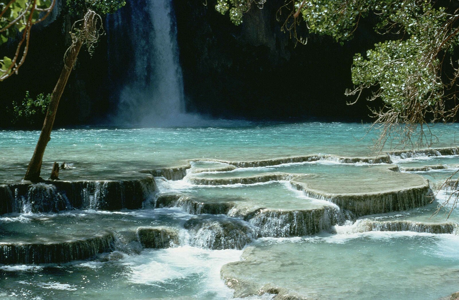
Accessible boardwalks reach the falls viewing platform from the state park, per the Park Service, and summer floaters pull out at a landing 300 yards away; Nebraska Game and Parks operates the park within the scenic river corridor.
Current access and closures: Smith Falls State Park (Nebraska Game and Parks / Niobrara National Scenic River, NPS).
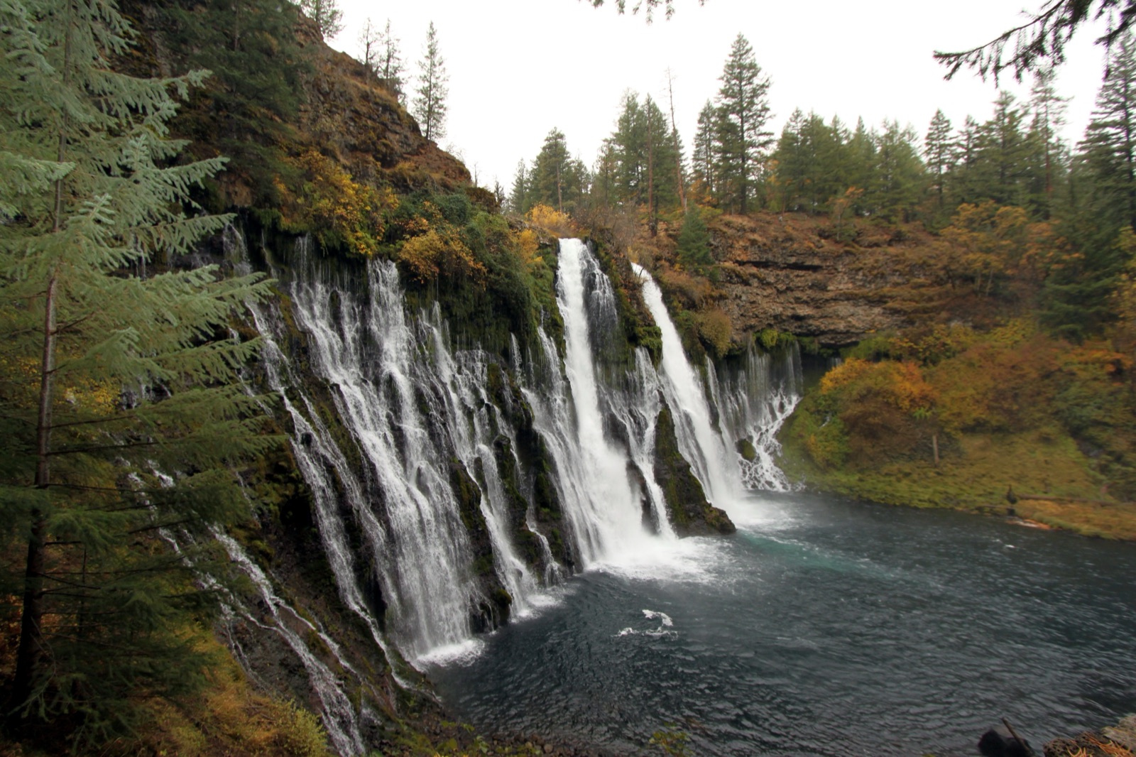

A 45 foot spring-fed falls on the Fort Niobrara refuge, reached by metal stairways to the canyon floor, with bison and elk country above.
Make a trip of it
Things to doGuided trips and experiences from local operators.
Browse on Viator Places to stay
Vacation rentals and cabins close to the water.
Browse on VrboWe may earn a commission on bookings made through these links.
Flow windows are typical-year climatology drawn from the driver and the agency language quoted above, not forecasts. Live readings and per-date percentiles are U.S. Geological Survey data, public domain; the above-or-below-typical line is our comparison and is labelled as such. Access, trail and safety information belongs to Smith Falls State Park (Nebraska Game and Parks / Niobrara National Scenic River, NPS). National picture: waterfall season across the US →
Hero image: “Burney Falls (6489840799)” by Prayitno / Thank you for (9 millions +) views from Los Angeles, USA, CC BY 2.0