Spearfish Falls
Spring fedRoughlock's taller neighbor at Savoy, dropping Spearfish Creek into its canyon behind the lodge, gauged upstream and framed by the Black Hills' best fall color.

The Black Hills' postcard falls in Spearfish Canyon, on a limestone creek with strong spring-fed baseflow, gauged just upstream and open all year.
Trail status, closures and safety rules belong to each falls' managing agency, named and linked on every page.
Little Spearfish Creek runs on Black Hills limestone groundwater topped with snowmelt, so Roughlock keeps its terraced flow through every season; the gauge a mile upstream reads it live. South Dakota Game, Fish and Parks manages the nature area, and its winter note matters: the access road closes for snowmobile season while the lodge trail stays open.
Spearfish Canyon Nature Area includes the Roughlock Falls, Spearfish Falls, and the Savoy Pond area. The canyon is considered one of the most beautiful locations in the Black Hills. A trail system connects all three areas and offers spectacular views of the waterfalls and foliage in the fall.

Gauge: USGS 06430850 Little Spearfish Creek near Lead SD, upstream of the falls on the same creek. The gauge reads the river, not the brink of the falls, so treat it as the trend line rather than a turnstile.
Source: USGS Water Services (National Water Information System). Instantaneous values and daily statistics services. U.S. Geological Survey data are works of the United States Government and are in the public domain. Gauge verified 2026-08-27.
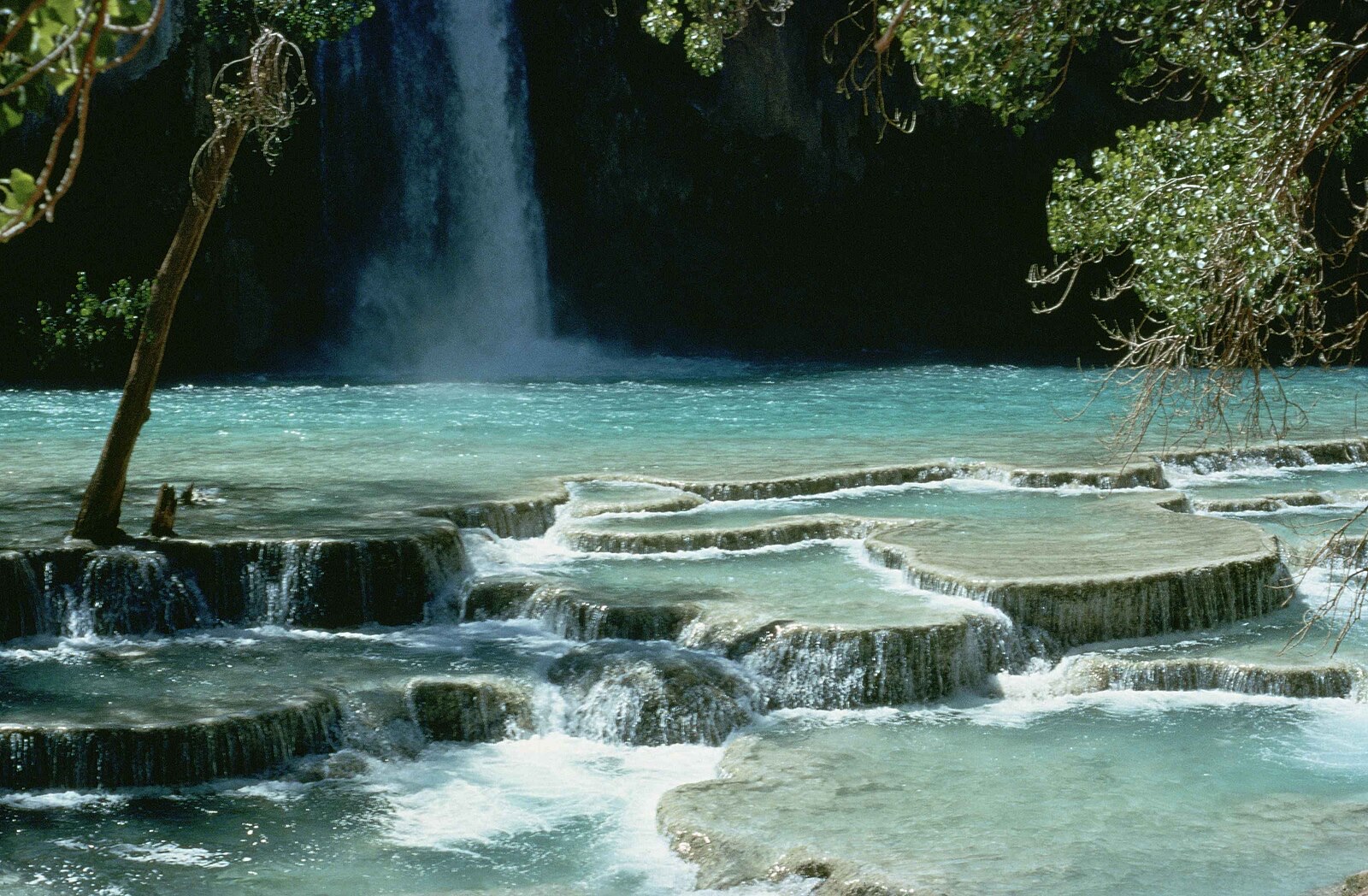
The falls sits a mile up Forest Road 222 from Savoy, per the agency, with accessible paths at the falls; the road closes December 15 to March 31, when the year-round trail from Spearfish Canyon Lodge is the way in, at your own risk in the agency's words.
Current access and closures: Spearfish Canyon Nature Area (South Dakota Game, Fish and Parks).
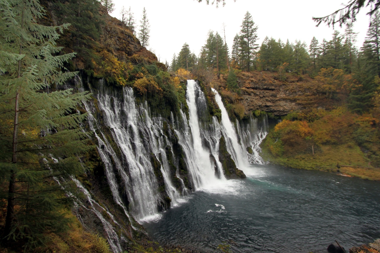

Roughlock's taller neighbor at Savoy, dropping Spearfish Creek into its canyon behind the lodge, gauged upstream and framed by the Black Hills' best fall color.
Make a trip of it
Things to doGuided trips and experiences from local operators.
Browse on Viator Places to stay
Vacation rentals and cabins close to the water.
Browse on VrboWe may earn a commission on bookings made through these links.
Flow windows are typical-year climatology drawn from the driver and the agency language quoted above, not forecasts. Live readings and per-date percentiles are U.S. Geological Survey data, public domain; the above-or-below-typical line is our comparison and is labelled as such. Access, trail and safety information belongs to Spearfish Canyon Nature Area (South Dakota Game, Fish and Parks). National picture: waterfall season across the US →
Hero image: “Burney Falls (6489840799)” by Prayitno / Thank you for (9 millions +) views from Los Angeles, USA, CC BY 2.0