Niagara Falls
Flow controlledThe most famous falls on the continent runs on a 1950 treaty: 100,000 cfs must come over during tourist season daytime hours, half that the rest of the time, with the balance sent to power plants.

New York's tallest waterfall by the DEC's own account, a 260 foot two-tier drop in the Catskills painted by the Hudson River School and treated with respect by everyone who reads the DEC's warnings.
Trail status, closures and safety rules belong to each falls' managing agency, named and linked on every page.
Spruce Creek runs on Catskills snowmelt with violent rain responses; the DEC's standing flash flood warning for the falls and clove is a hydrology statement as much as a safety one. Mid March through mid June is the reliable big season, storms excepted, and the DEC's North-South Lake page puts the two tiers at 175 and 85 feet, the highest in the state.
Typical best flow: Mid March through mid June
From the Laurel-House Road parking area: 0.3 miles to the observation platform overlooking Kaaterskill falls.
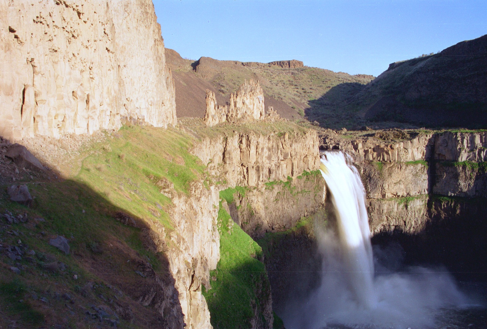
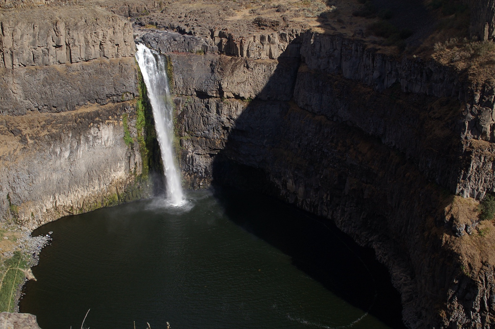
From the Laurel House Road parking area it is 0.3 miles to the observation platform, per the DEC, and the site is open year round. The old roadside scramble from Route 23A has been the subject of repeated DEC safety work; use the platform route.
Current access and closures: New York State Department of Environmental Conservation (Kaaterskill Wild Forest).


The most famous falls on the continent runs on a 1950 treaty: 100,000 cfs must come over during tourist season daytime hours, half that the rest of the time, with the balance sent to power plants.
A 215 foot single plunge past 400 foot gorge cliffs near Ithaca, taller than Niagara, biggest with the Finger Lakes spring runoff and thin by late summer.
Nineteen waterfalls in one walkable mile of stone stairways and tunnels, with a season set as much by the trail calendar as by the creek.
Three major falls on the Genesee River in the Grand Canyon of the East, with the flow-setting dam conveniently DOWNSTREAM, so what comes over is the river's own weather.
Make a trip of it
Things to doGuided trips and experiences from local operators.
Browse on Viator Places to stay
Vacation rentals and cabins close to the water.
Browse on VrboWe may earn a commission on bookings made through these links.
Flow windows are typical-year climatology drawn from the driver and the agency language quoted above, not forecasts. Live readings and per-date percentiles are U.S. Geological Survey data, public domain; the above-or-below-typical line is our comparison and is labelled as such. Access, trail and safety information belongs to New York State Department of Environmental Conservation (Kaaterskill Wild Forest). National picture: waterfall season across the US →
Hero image: “Blackwater Falls (15437499241)” by Benjamin Smith from United States, CC BY 2.0