Cumberland Falls
Rain fedA 125-foot curtain across the Cumberland River, and one of the few places on earth that reliably produces a moonbow.

Kentucky\u2019s tallest waterfall at 113 feet, with a trail that passes behind it under one of the largest rock shelters in the area.
Trail status, closures and safety rules belong to each falls' managing agency, named and linked on every page.
A small creek in the Big South Fork country, so volume follows rain closely. The Park Service says plainly that water volume is significantly reduced during periods of dryer weather.
Typical best flow: March through May
Water volume is significantly reduced during periods of dryer weather.


A one-mile loop with some very steep metal steps; the trail passes behind the falls beneath the rock shelter.
Current access and closures: Big South Fork National River and Recreation Area (National Park Service).
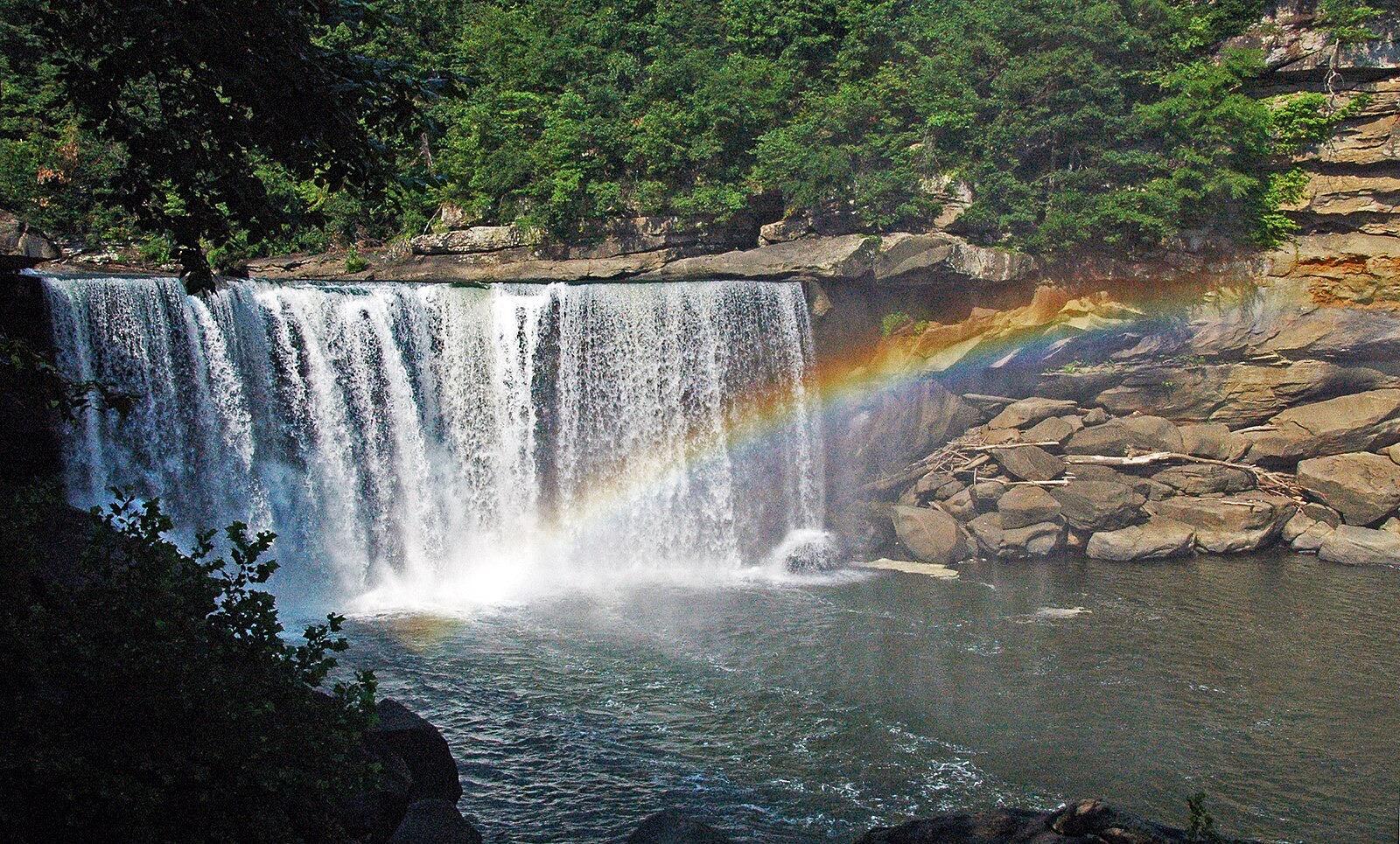

A 125-foot curtain across the Cumberland River, and one of the few places on earth that reliably produces a moonbow.
Make a trip of it
Things to doGuided trips and experiences from local operators.
Browse on Viator Places to stay
Vacation rentals and cabins close to the water.
Browse on VrboWe may earn a commission on bookings made through these links.
Flow windows are typical-year climatology drawn from the driver and the agency language quoted above, not forecasts. Live readings and per-date percentiles are U.S. Geological Survey data, public domain; the above-or-below-typical line is our comparison and is labelled as such. Access, trail and safety information belongs to Big South Fork National River and Recreation Area (National Park Service). National picture: waterfall season across the US →
Hero image: “Cumberland Falls rainbow” by James St. John, CC BY 2.0