Bridal Veil Falls
SnowmeltUtah's roadside icon: a 607 foot double cataract dropping into Provo Canyon beside the river parkway trail, free to visit and busiest in the melt months.

A 126 foot desert falls at the end of six sandy miles in Grand Staircase-Escalante, running on spring water through country where the mainstem river can drop to a trickle.
Trail status, closures and safety rules belong to each falls' managing agency, named and linked on every page.
Calf Creek is the desert exception: a perennial creek widely described as spring-fed, holding its falls through summers in which the nearby Escalante River gauge can read close to zero. The BLM trail page does not state the water source, so treat the spring-fed label as ours; what the agency does emphasize is the heat, and the need to carry water on the exposed six mile round trip.
The 6.0 mile round trip hike to the 126 foot lower falls is on a developed trail adjacent to Calf Creek. The hike is moderately difficult due to sandy sections. The hike can be hot, especially during summer months, and hikers must carry adequate water.
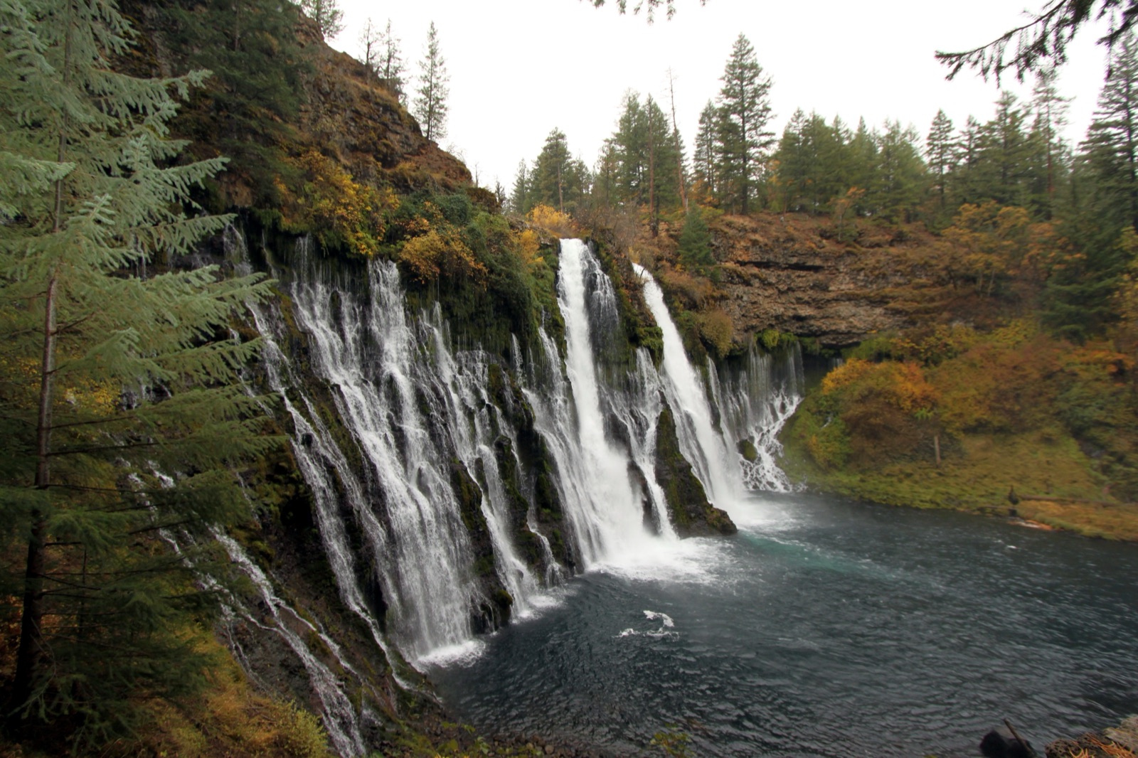

The BLM describes a moderately difficult six mile round trip over sandy sections from the Calf Creek Recreation Area on Highway 12, with a day use fee. In 2025 the BLM issued a standing warning about rockfall from the cliffs around the falls and pool.
Current access and closures: Bureau of Land Management, Grand Staircase-Escalante National Monument.
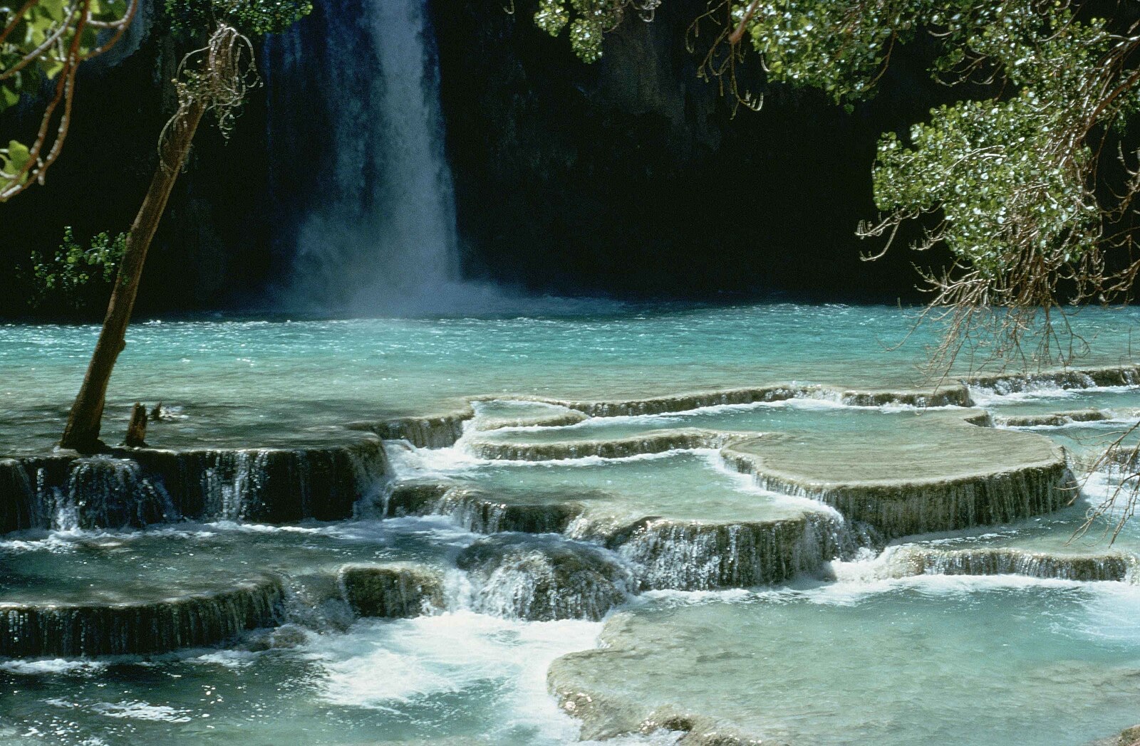

Utah's roadside icon: a 607 foot double cataract dropping into Provo Canyon beside the river parkway trail, free to visit and busiest in the melt months.
Salt Lake's favorite family hike in Big Cottonwood Canyon, where the creek pours through a pothole in the rock, the donut, before emerging in a cave below.
Make a trip of it
Things to doGuided trips and experiences from local operators.
Browse on Viator Places to stay
Vacation rentals and cabins close to the water.
Browse on VrboWe may earn a commission on bookings made through these links.
Flow windows are typical-year climatology drawn from the driver and the agency language quoted above, not forecasts. Live readings and per-date percentiles are U.S. Geological Survey data, public domain; the above-or-below-typical line is our comparison and is labelled as such. Access, trail and safety information belongs to Bureau of Land Management, Grand Staircase-Escalante National Monument. National picture: waterfall season across the US →
Hero image: “Havasu falls Arizona” — Stolz Gary M, U.S. Fish and Wildlife Service — Public domain