Lower Calf Creek Falls
Spring fedA 126 foot desert falls at the end of six sandy miles in Grand Staircase-Escalante, running on spring water through country where the mainstem river can drop to a trickle.

Utah's roadside icon: a 607 foot double cataract dropping into Provo Canyon beside the river parkway trail, free to visit and busiest in the melt months.
Trail status, closures and safety rules belong to each falls' managing agency, named and linked on every page.
The falls pours off Cascade Mountain's wall on Wasatch snowmelt, so mid April through June brings the full double-tier show, late summer a slender veil, and winter a world class ice climb. The 607 foot double cataract figure comes from the Utah Legislature's state monument resolution; the county page keeps it simpler: come and enjoy the falls, no reservations needed.
Typical best flow: Mid April through June
A majestic waterfall and peaceful paved riverside trails define this scenic escape, making it a favorite for families, photographers, and nature lovers. Come and enjoy the falls, no reservations needed.
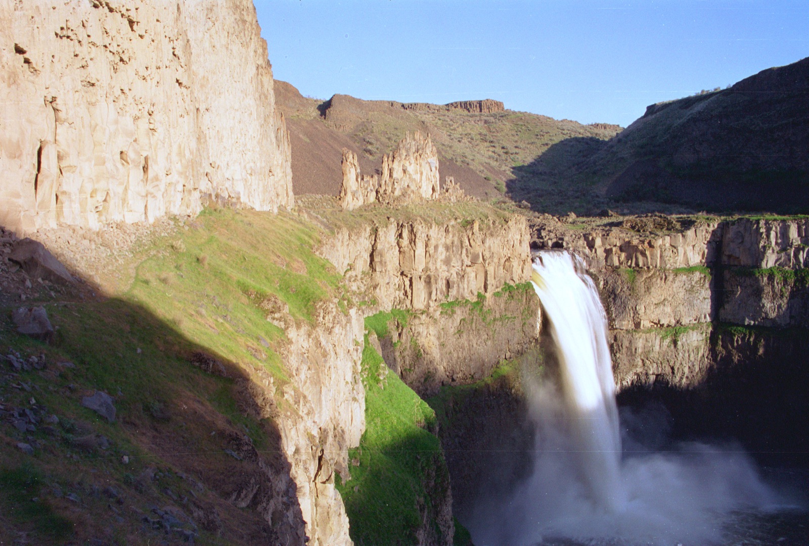
Gauge: USGS 10163000 Provo River at Provo UT, on the receiving Provo River downstream of the canyon, a basin-level proxy. The gauge reads the river, not the brink of the falls, so treat it as the trend line rather than a turnstile.
Source: USGS Water Services (National Water Information System). Instantaneous values and daily statistics services. U.S. Geological Survey data are works of the United States Government and are in the public domain. Gauge verified 2026-08-27.
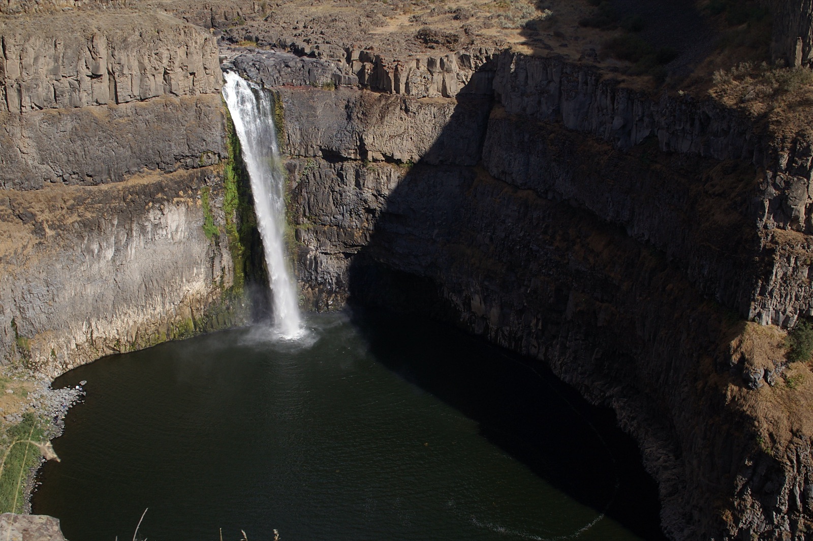
Utah County manages the falls area with restrooms, picnic areas and the paved Provo River Parkway trail. A roughly two year trail and parking reconstruction began after Labor Day 2025 with modified access, per the county, so check current parking arrangements before you go.
Current access and closures: Utah County Parks (Bridal Veil Falls).

A 126 foot desert falls at the end of six sandy miles in Grand Staircase-Escalante, running on spring water through country where the mainstem river can drop to a trickle.
Salt Lake's favorite family hike in Big Cottonwood Canyon, where the creek pours through a pothole in the rock, the donut, before emerging in a cave below.
Make a trip of it
Things to doGuided trips and experiences from local operators.
Browse on Viator Places to stay
Vacation rentals and cabins close to the water.
Browse on VrboWe may earn a commission on bookings made through these links.
Flow windows are typical-year climatology drawn from the driver and the agency language quoted above, not forecasts. Live readings and per-date percentiles are U.S. Geological Survey data, public domain; the above-or-below-typical line is our comparison and is labelled as such. Access, trail and safety information belongs to Utah County Parks (Bridal Veil Falls). National picture: waterfall season across the US →
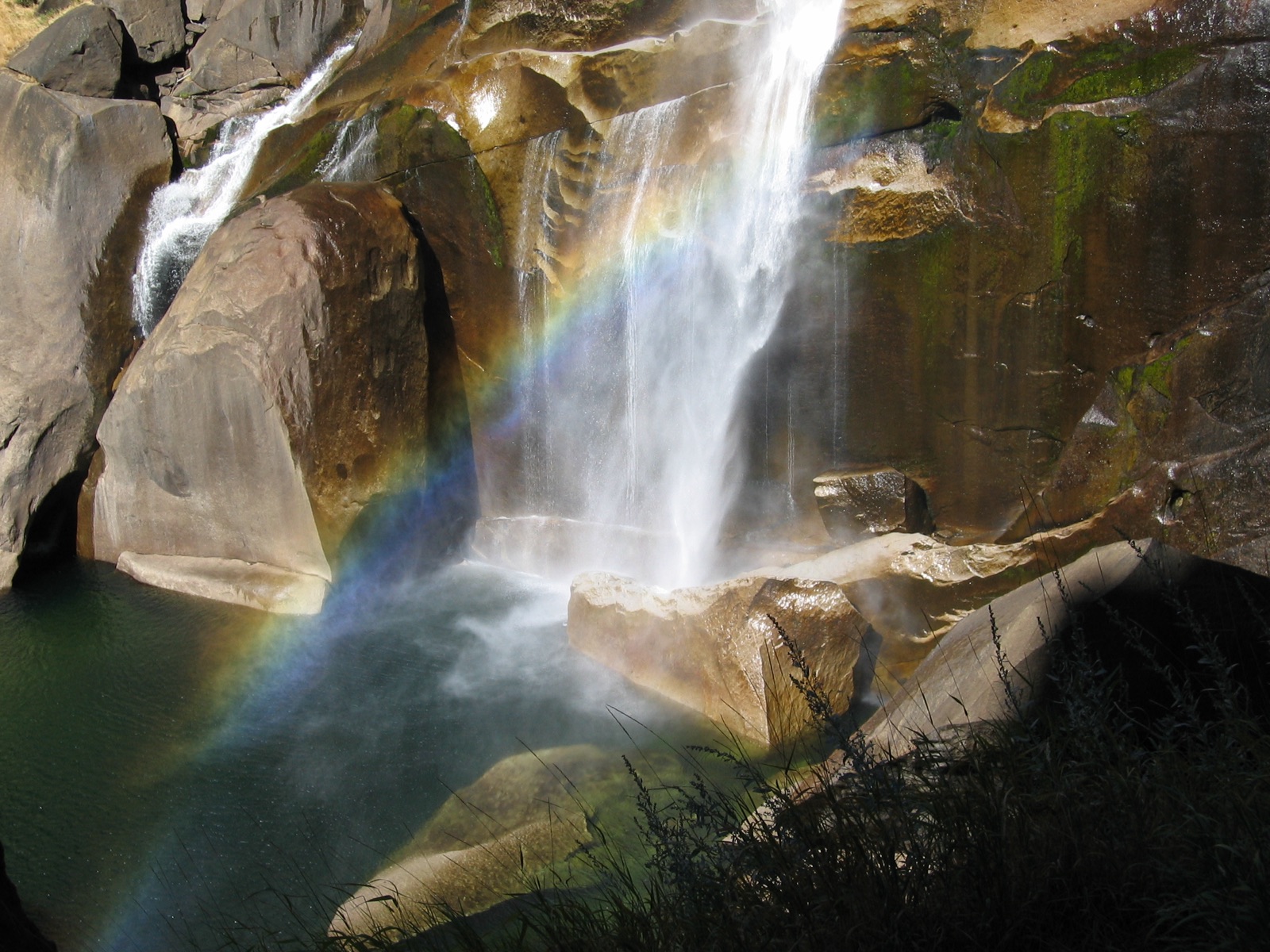
Hero image: “Rainbow in the mist of Vernal Falls in Yosemite National Park. NPS-Madelyn Carpenter (18497149938)” — NPS Natural Resources — Public domain